DAY Minus 6 — Wednesday, Apr 17, 2024
Test minus 6 days
Test image
Welcome to Walk Pura Vida—a site dedicated to the simple pleasure and 'pura vida' of the walk. It has been, and continues to be, an incredible and humbling journey.
Status update My 2024 Camino is taking me along the Danube River in Austria and then beyond Linz, Austria onto a portion of Austria's Camino Route to just beyond Salzburg--21 days in all of walking, immersing myself again in my mother tongue, and enjoying Austria's food and drink.
| Distance | — |
| Ascent | — |
| Descent | — |
| Max Elevation | — |
| Min Elevation | — |
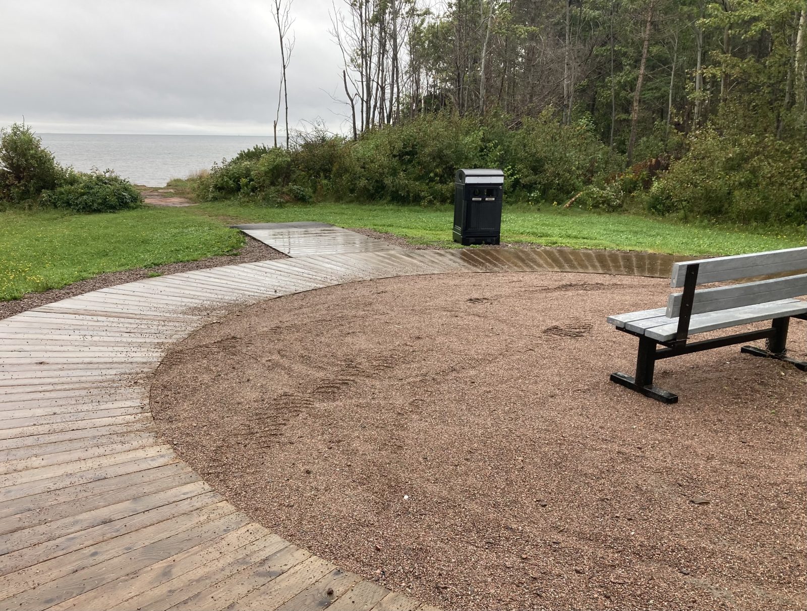
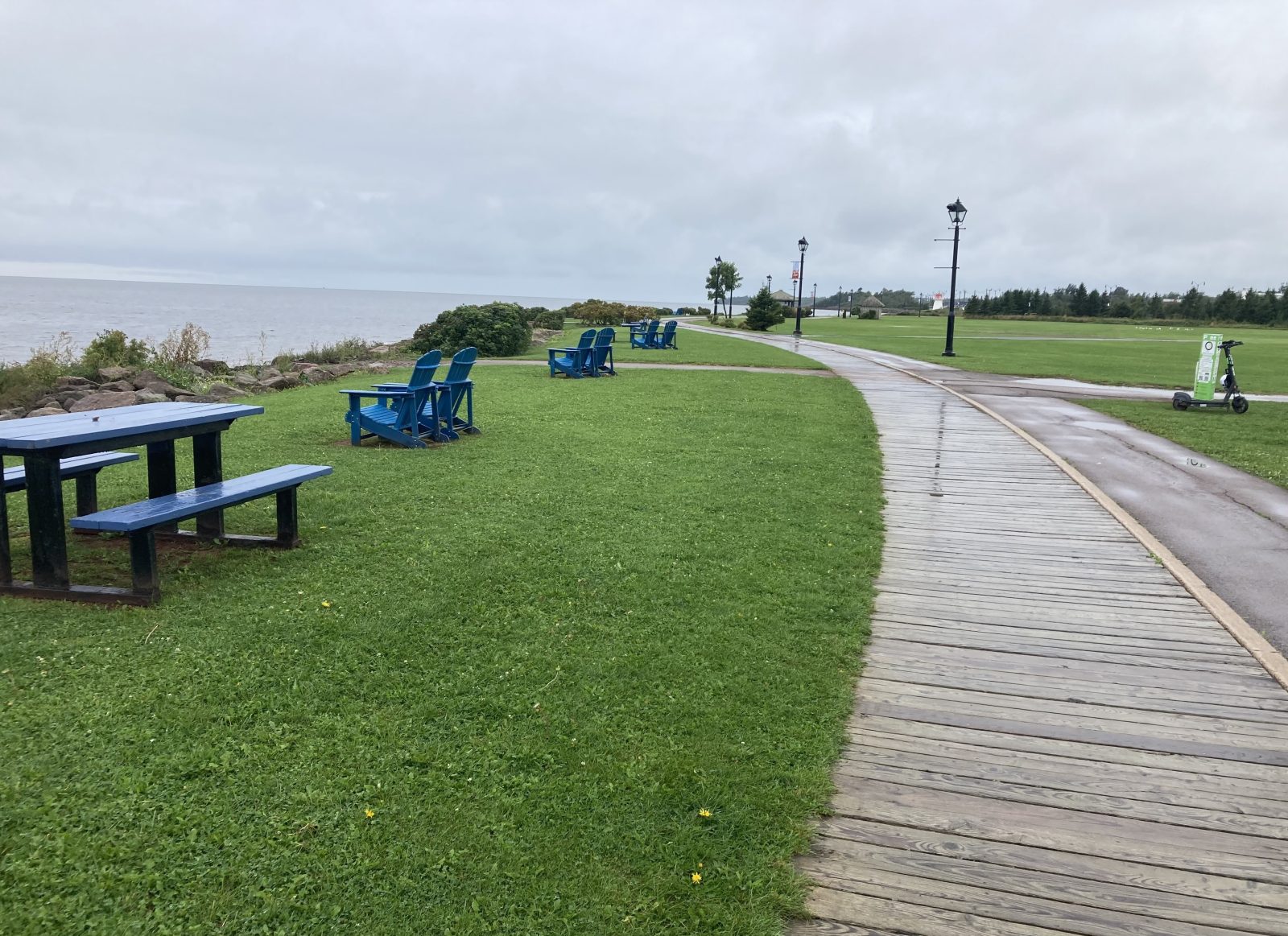
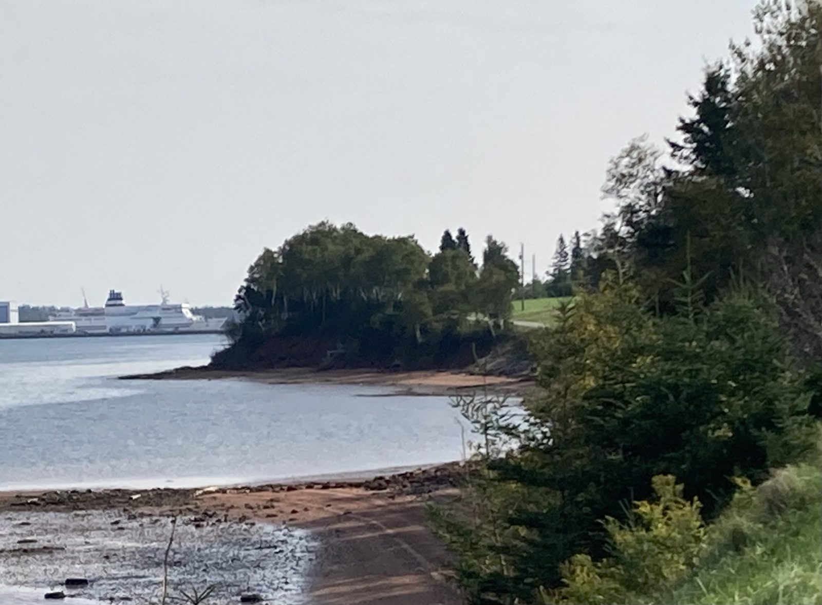
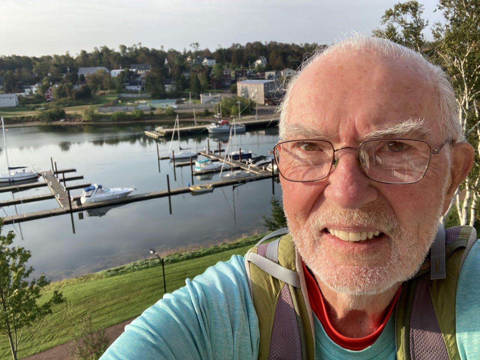
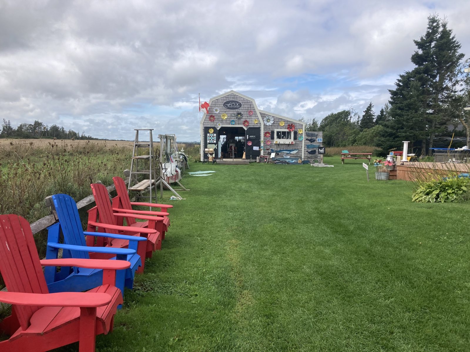
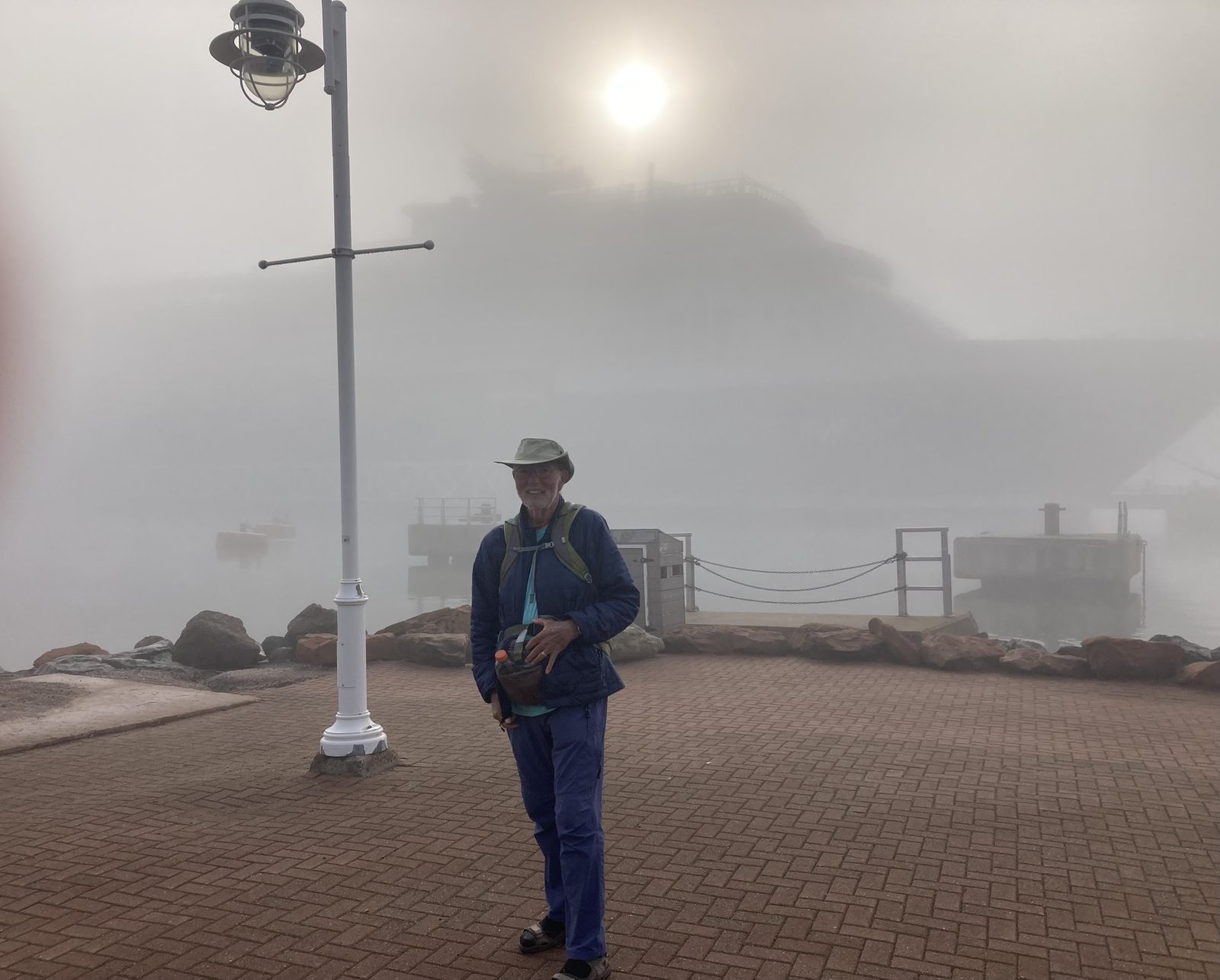
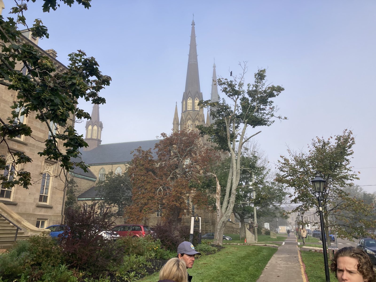
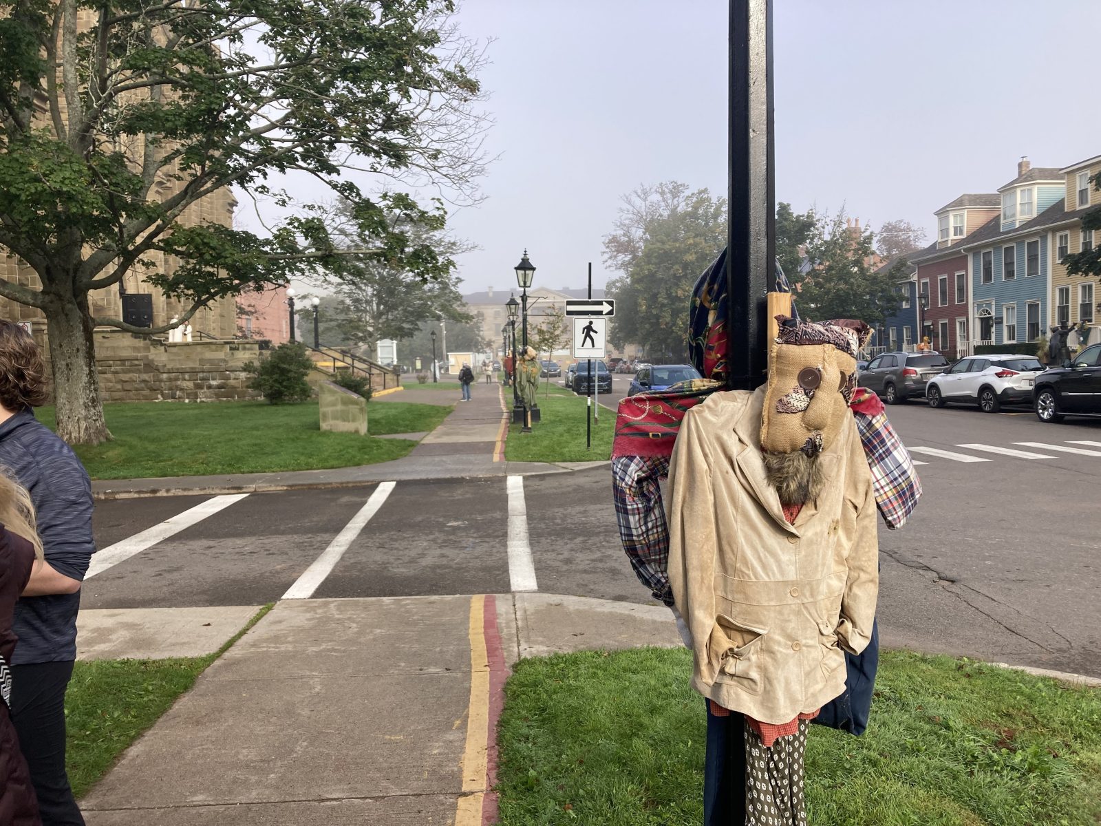
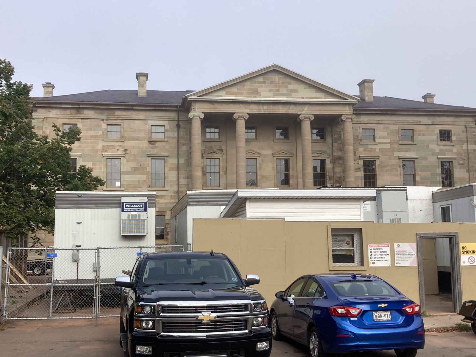
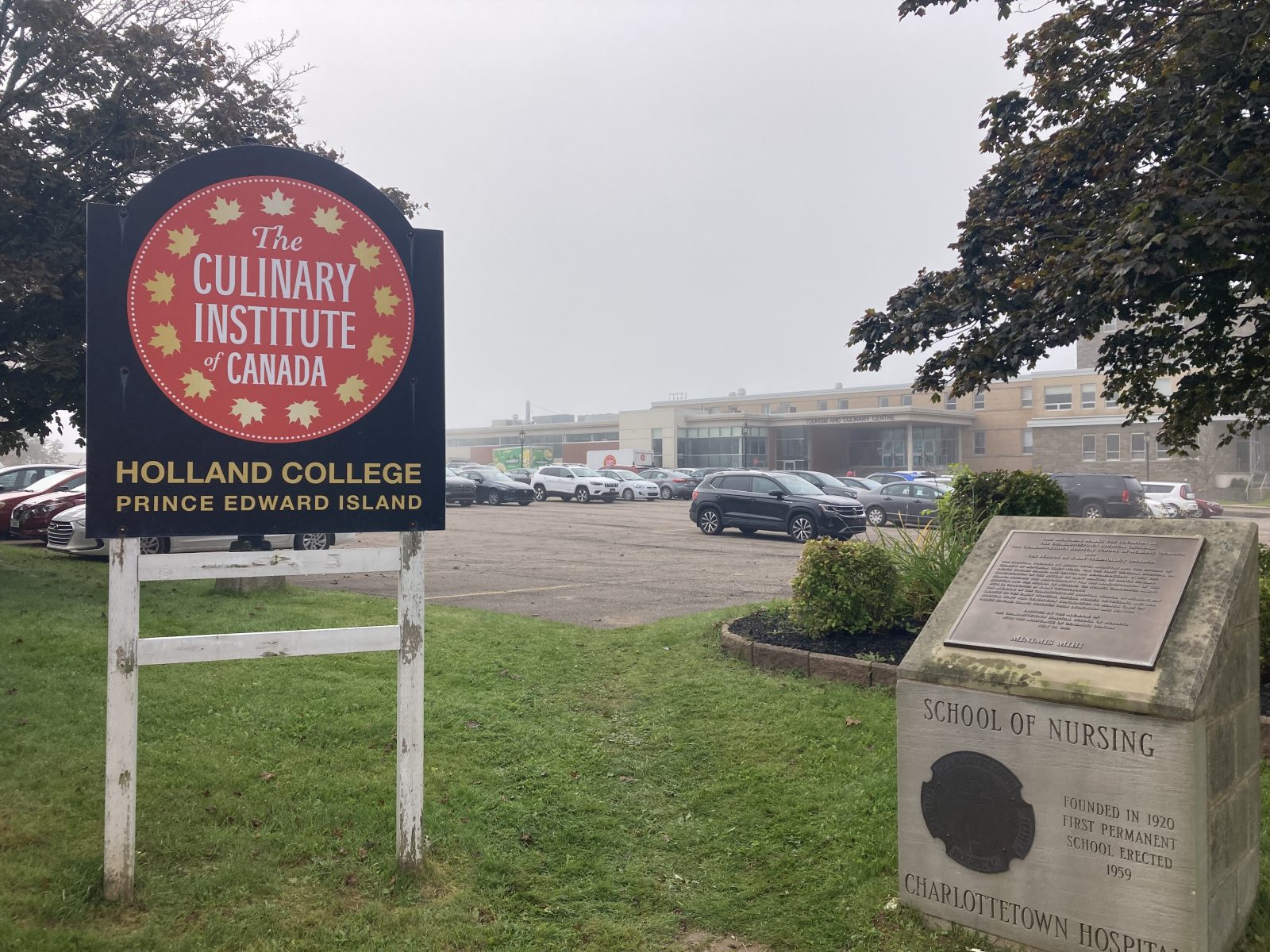
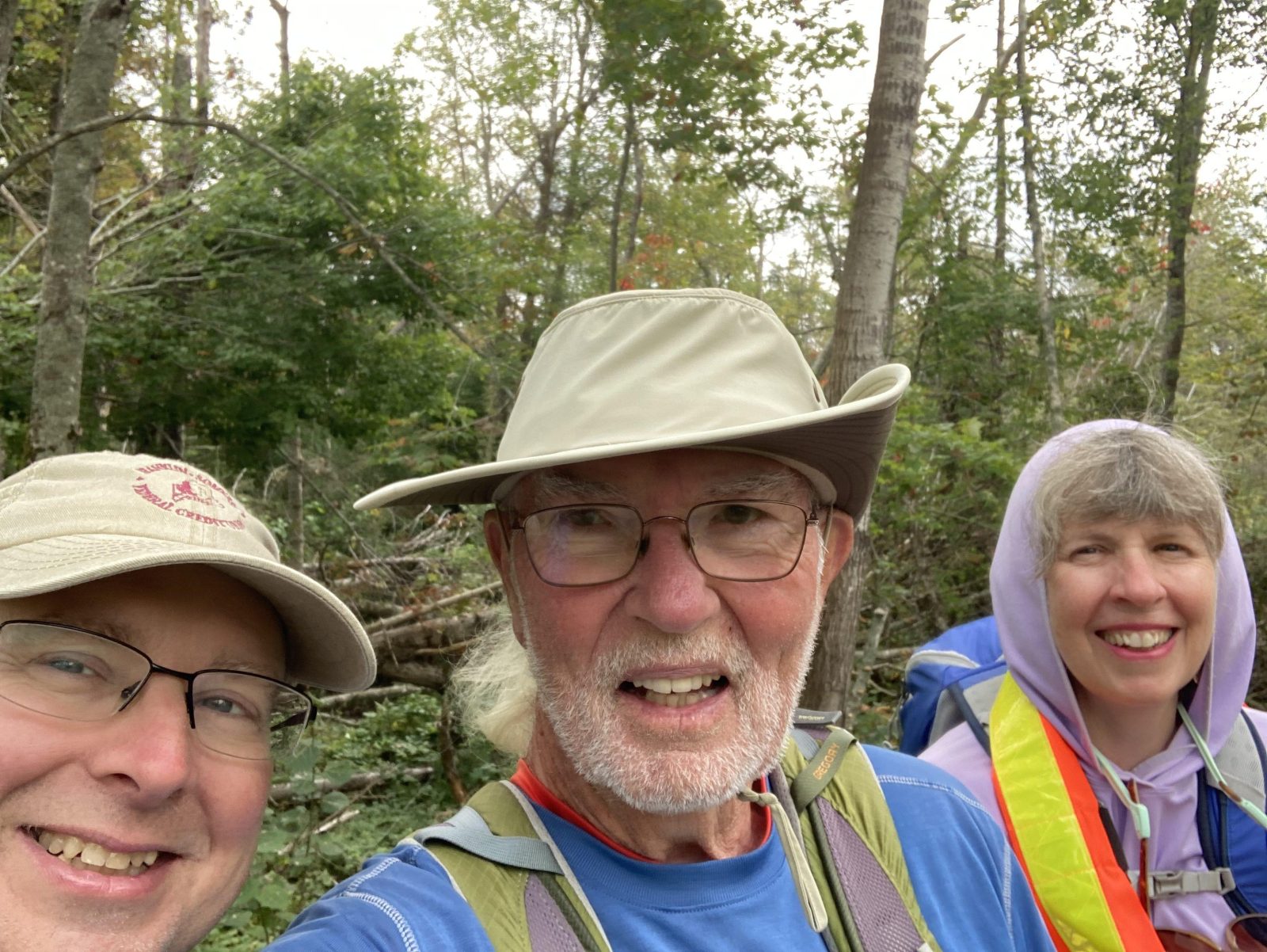
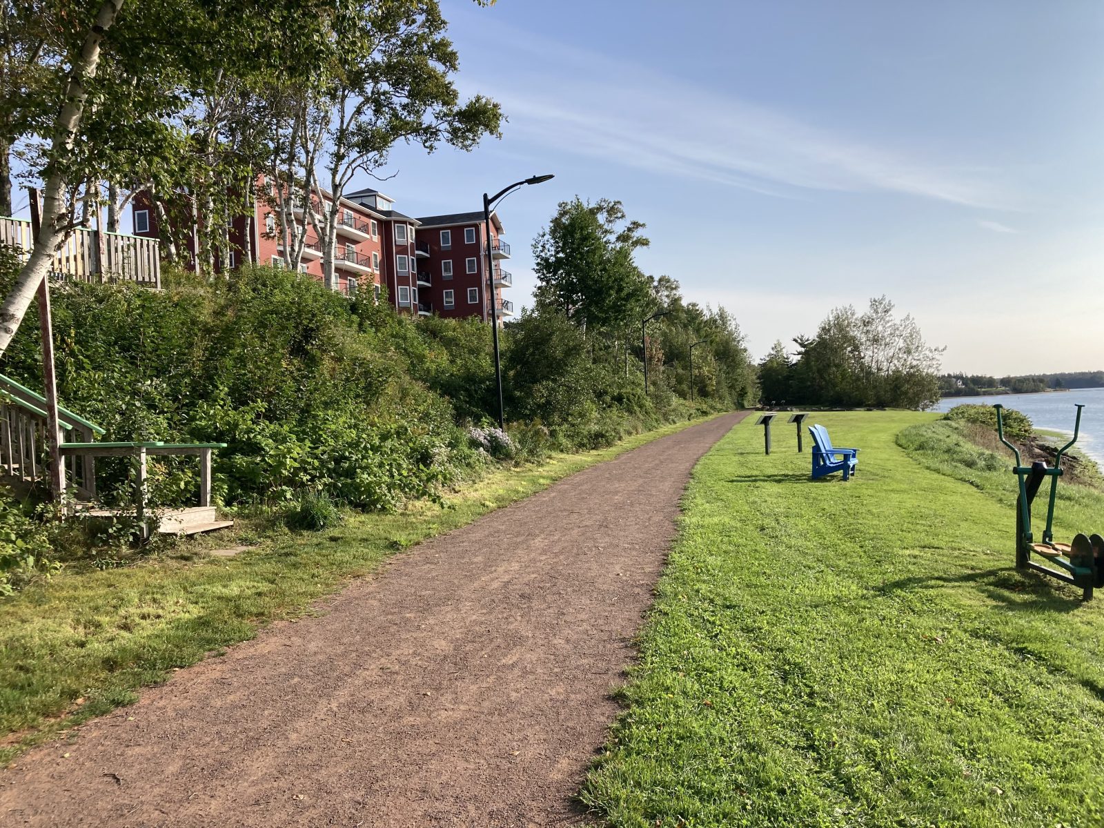
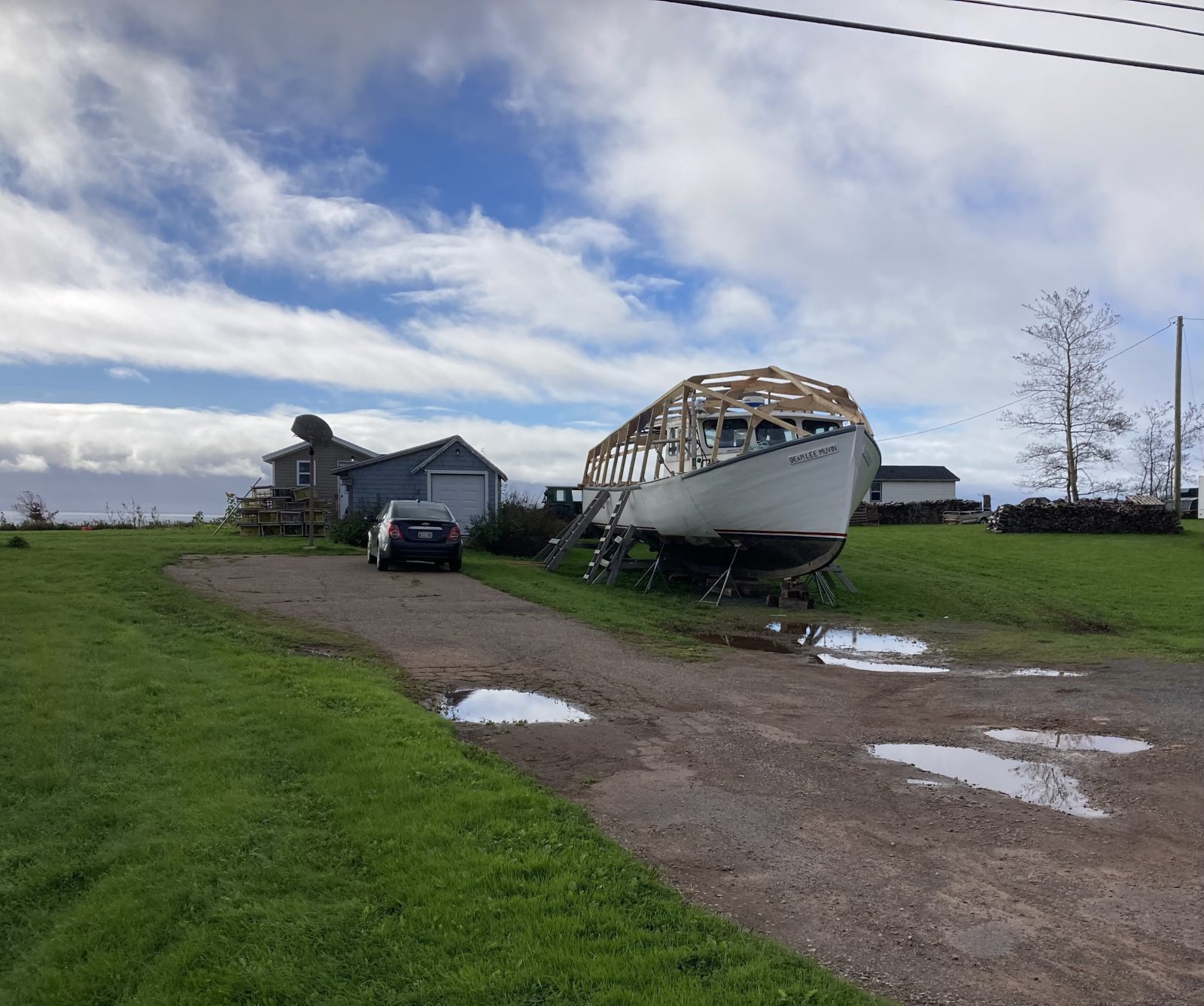
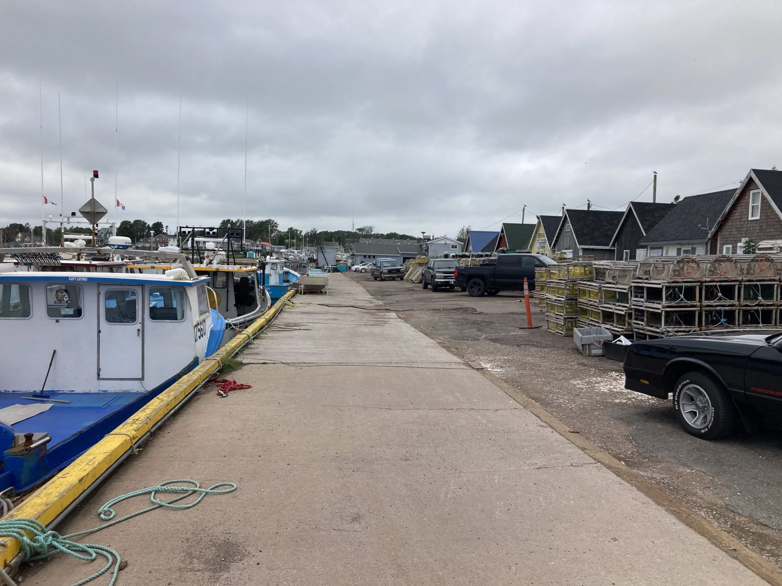
Enjoyed touring Charlottetown with a morning walking tour. Turned out super foggy that created a mystical air about the tour. We had 5 in all on the tour with an excellent guide. Lots of interesting things to see, but most importantly the role PEI played in the early days of forming the Canadian Confederation—it’s truly the cradle of the Confederation.
Last day’s highlights:
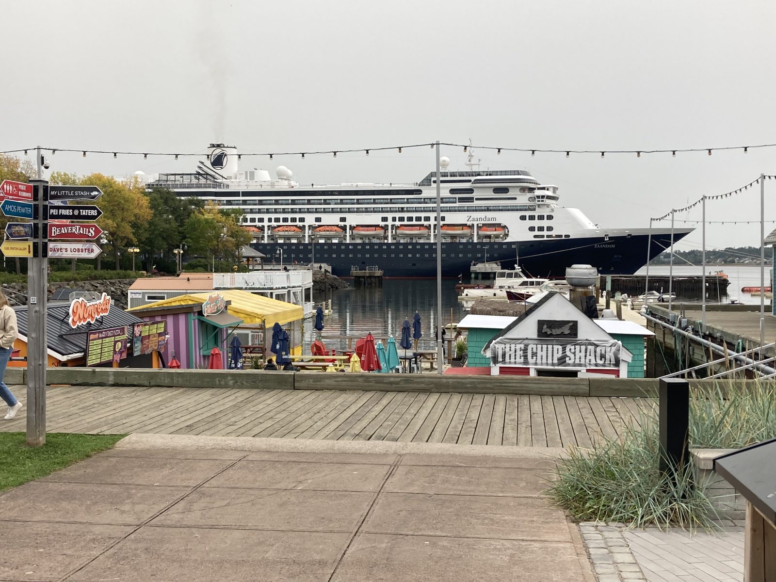
1. Charlottetown Harbor with Cruise Ship in fog.
2. Cathedral (St Dunstan’s Basilica).
3. Halloween decorations everywhere.
4. Refurbishment of the Province House where Canada was born in 1864.
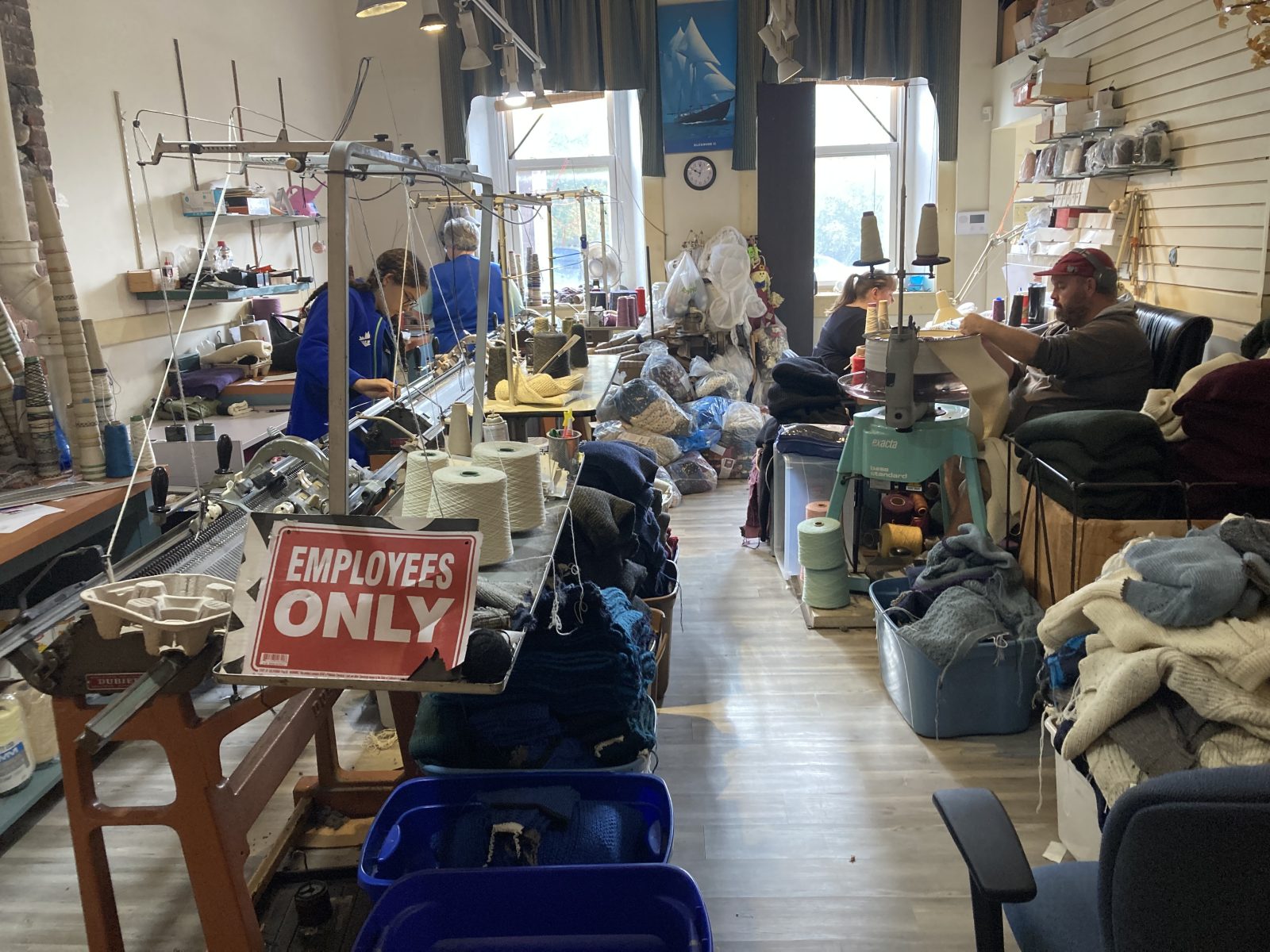
5. Handcrafted knitting
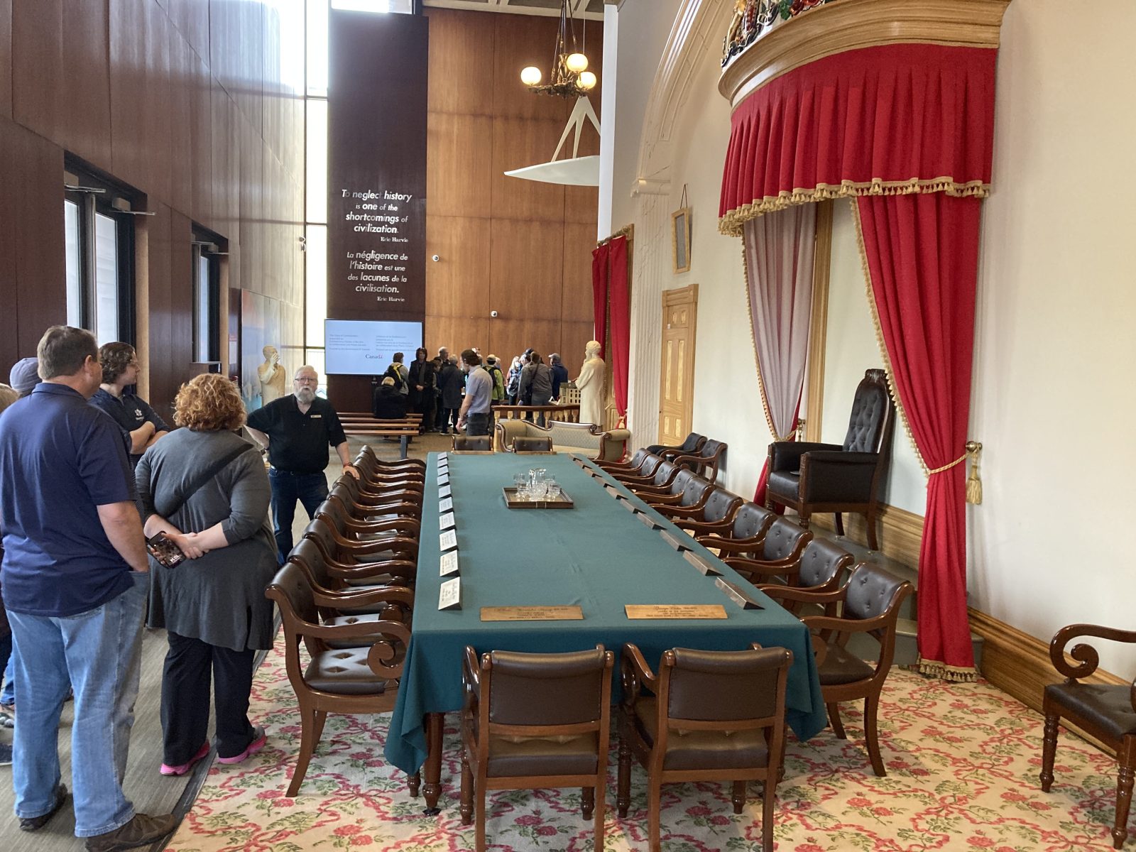
6. Replica of first confederation meeting
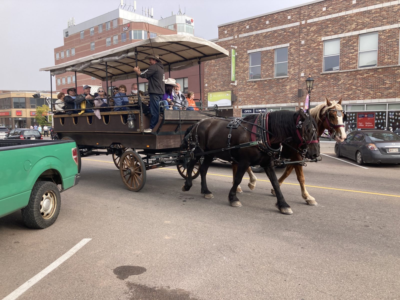
7. Horse-drawn tours
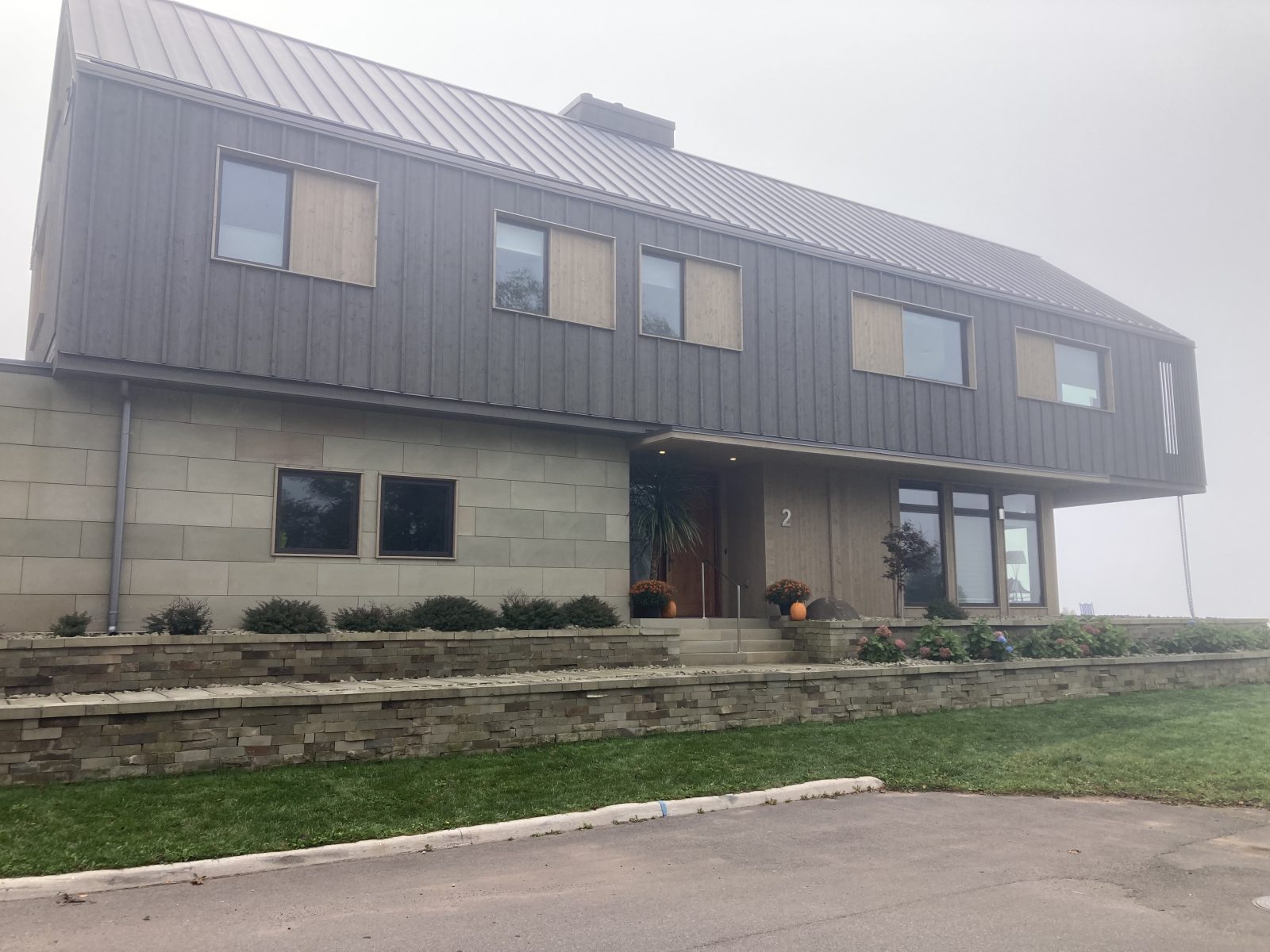
8. Highest priced property on PEI setting the bar at CD 2.1 mil.
9. Canada’s Culinary Institute
10.
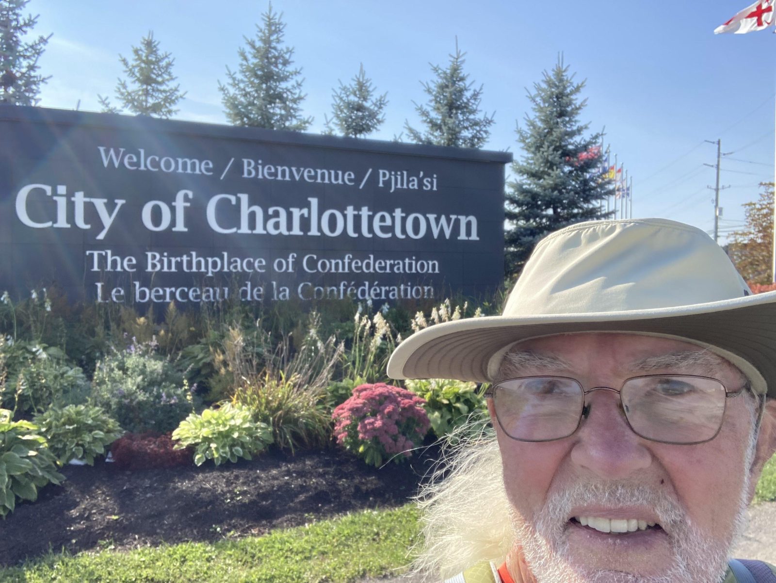
This was my last day of the Island Walk, and unlike making an entry into Santiago or Rome with their imposing Cathedrals in the background, my entry to Charlottetown still marked the terminus of my 32-day walk and gave me a most satisfying feeling of having completed a significant journey. I miss the fellow pilgrims celebrating around me, but am grateful for my booster club supporting me back home—thank you.
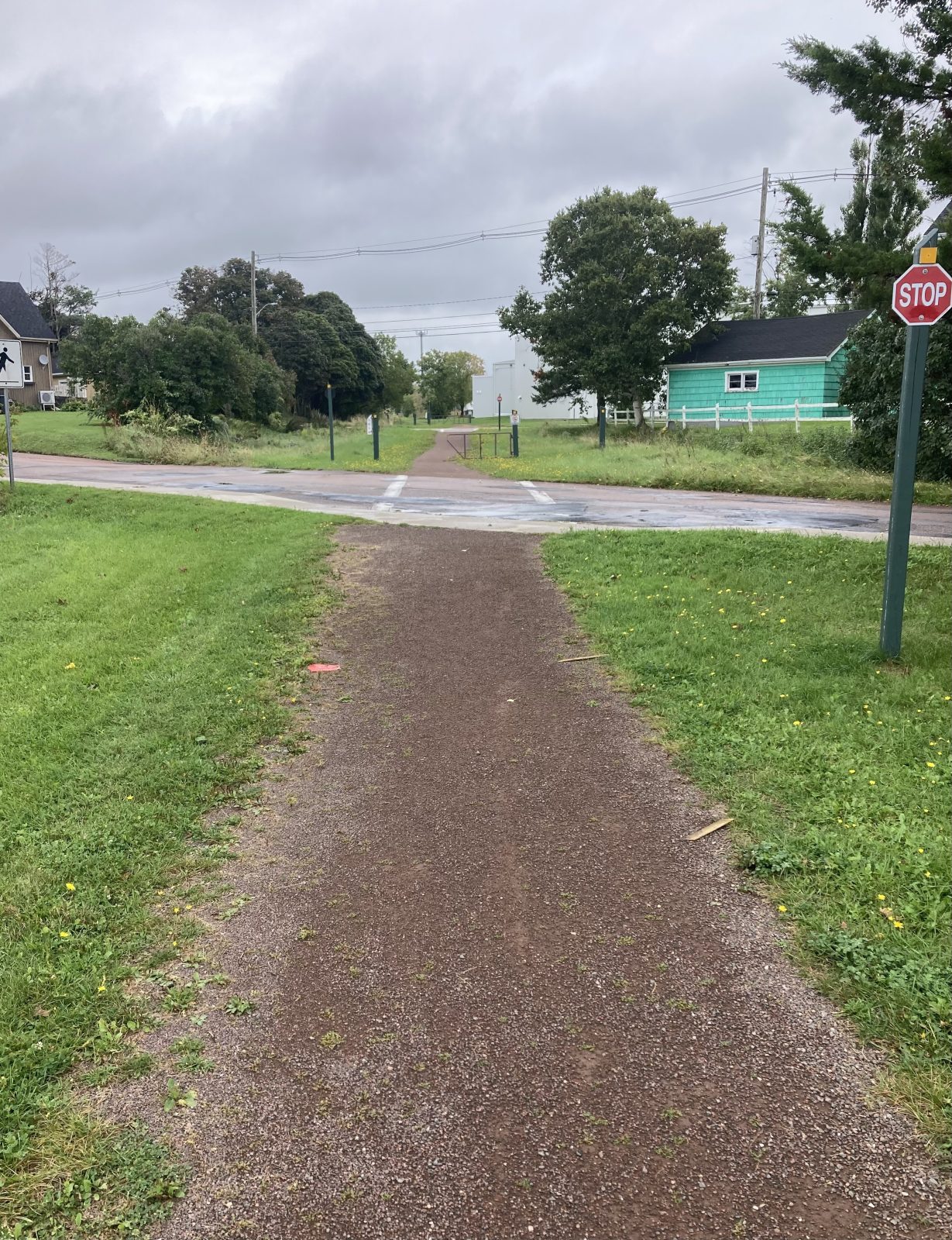
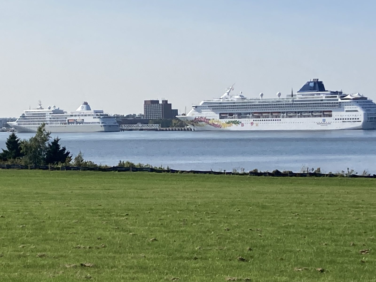
It was a perfect day for walking 14.3 mi (22.9 km) starting on the Confederation Trail then switching over to country highways and entering Charlottetown by crossing the Hillsborough River Bridge. Two large ocean cruisers were again anchored in the harbor giving Charlottetown ample opportunity to show off its charm.
Here are my final noteworthy sights:
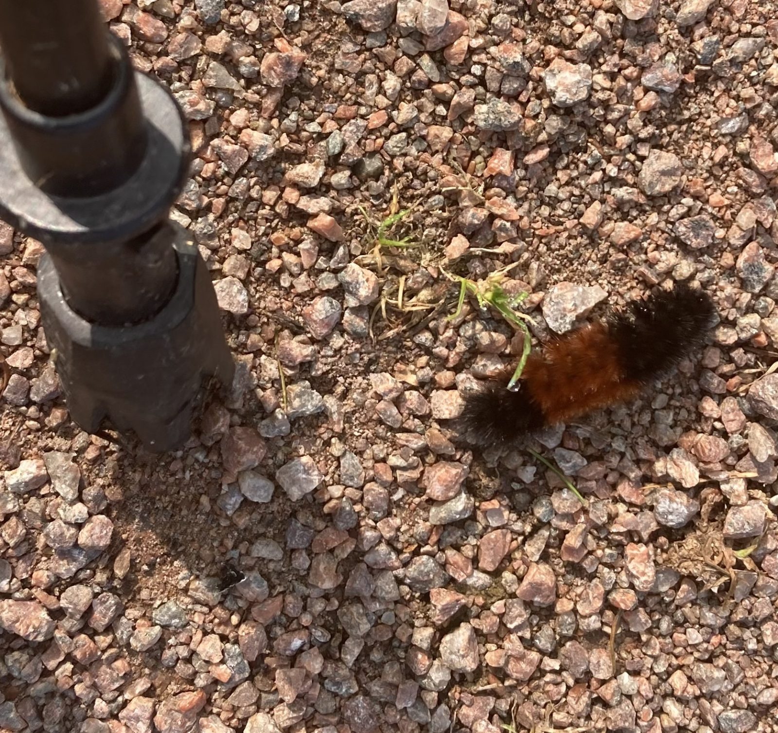
1. I’ve been seeing far fewer of these wooly bear larval caterpillars that will morph into Isabella tiger moths. Incidentally, these caterpillars freeze solid. First its heart stops beating, then its gut freezes, then its blood, followed by the rest of the body. It survives being frozen by producing a cryoprotectant in its tissues!
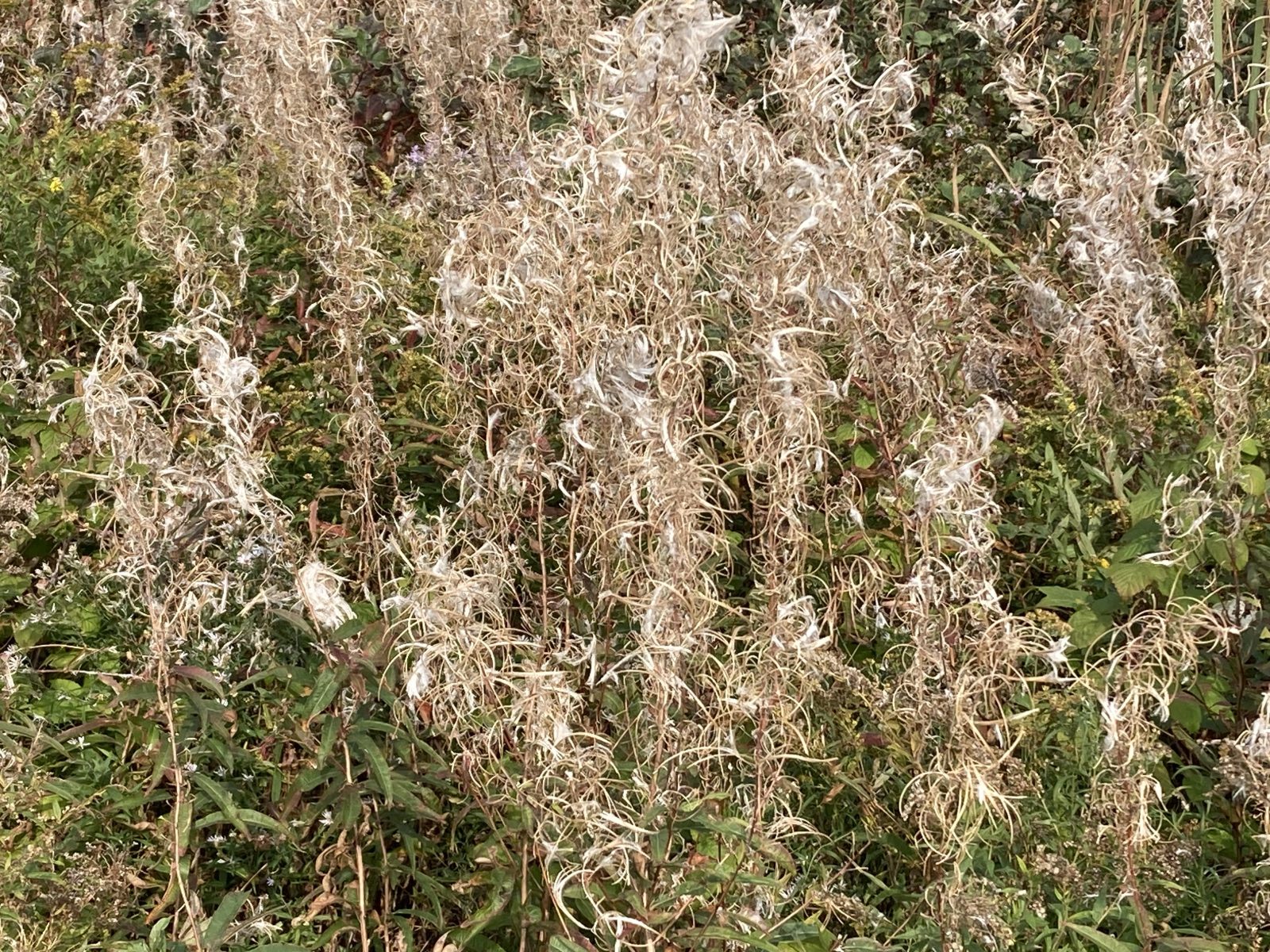
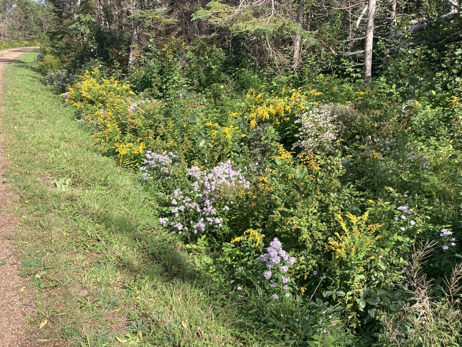
2. I think this is fireweed with its interesting fall colors.
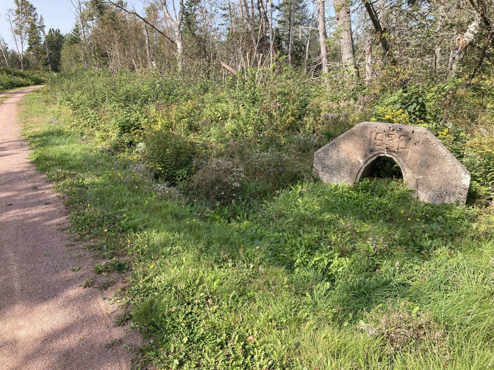
3. Historical culverts of the rail trail listing its year (1930 in this case).
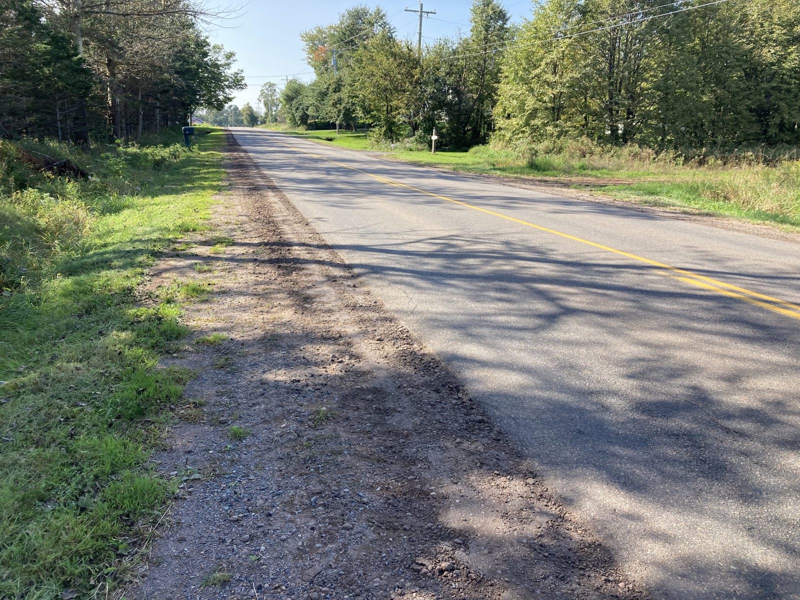
4. No shoulders whatsoever.
5. Two cruise ships in the harbor.
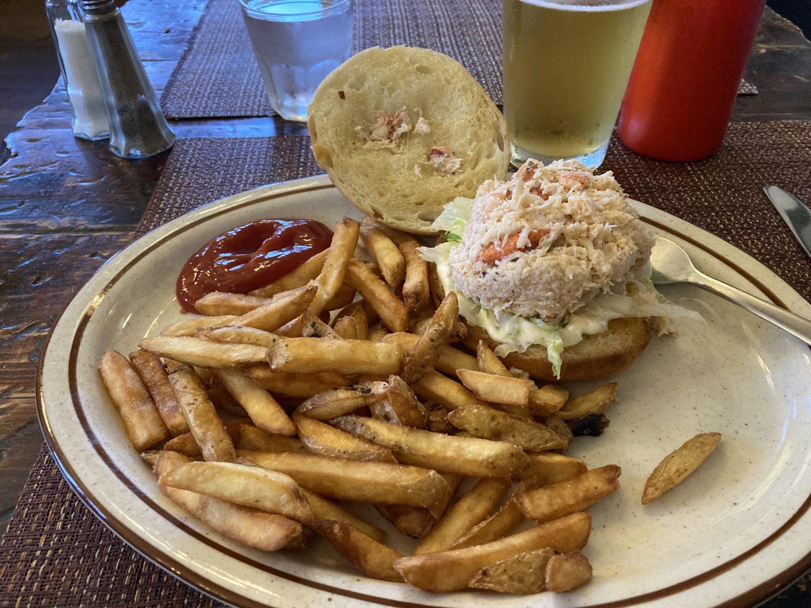
6. Celebrating after arriving at #32 at Charlottetown. Yes, I had them crack open my lobster—no work!

Last day with Montague’s Taxi service, Dennis who seemed like family after five days with him shuttling me. It was a surprising 7 degrees warmer this morning and I got off to a good start. At the destination end, some 15.6 mi (25 km) later, I made arrangements with David who was the first Taxi contact on PEI. He remembered me and gave me a brief tour of downtown including the good restaurants to visit.
For a short while I was in potential cancel mode with the B&B because I discovered they didn’t serve breakfast in September, but that quickly blew over when I realized that I would lose 3 days of fees for canceling.
I’m excited about tomorrow’s last day of walking and celebrating with an appropriate seafood dish. Here are some interesting sights today.
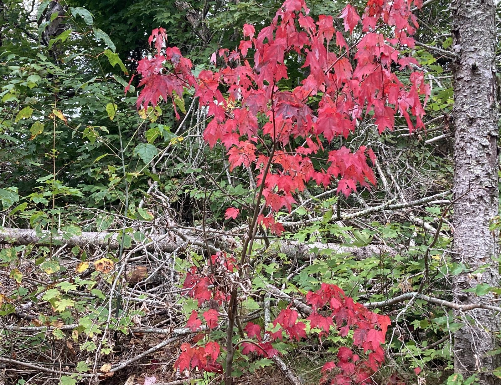
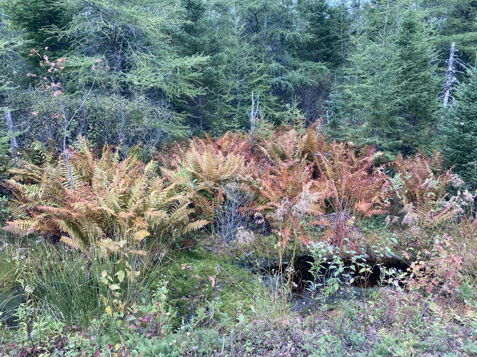
1. Yesterday’s cold snap hastened some of the fall colors
2. Jim and Carol from New York also f doing the Island Walk, but using their car and shuttle services.
3. Fall fern colors.
4. Two large cruise ships visiting Charlottetown.
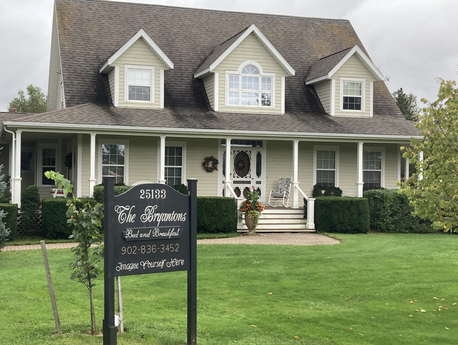
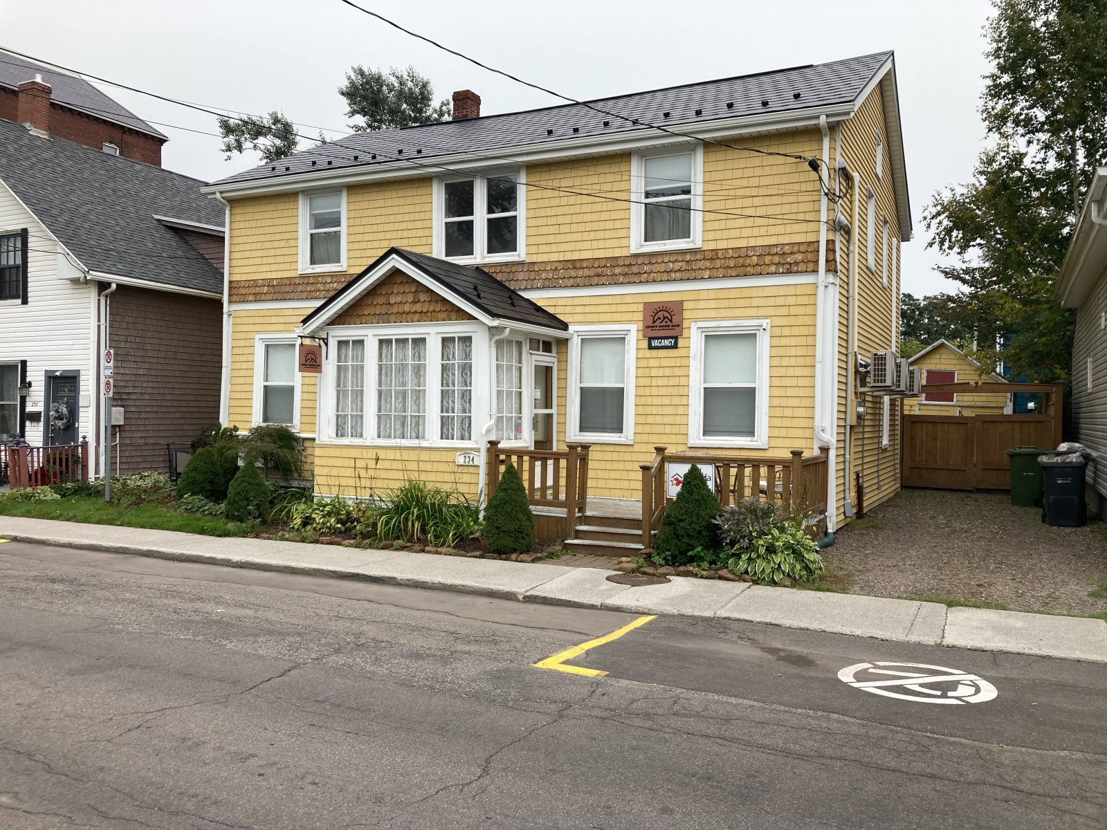
5. My Sunny Home B&B in Charlottetown.
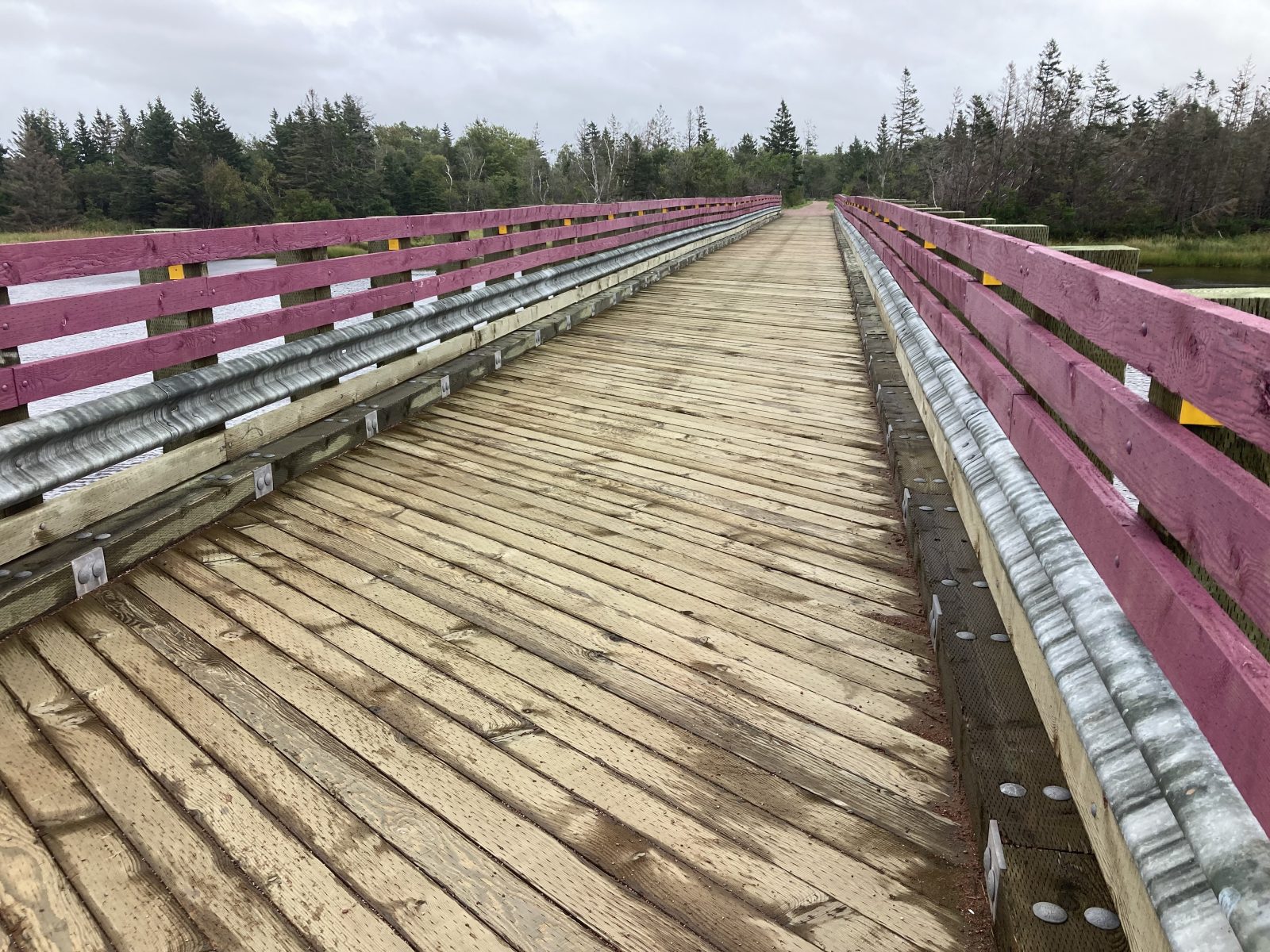
Long day today, finishing 16 miles of the Confederation Trail at Way Marker #30 at 4:00 PM. Apparently a few other walkers behind me are competing for my cab, causing me to wait about 45 minutes. It was unbelievably cold at the start of my walk, but eventually warmed up to the low 60s. Only one other couple on bikes the whole day, and I had seen them previously.
Here are a few interesting sights:
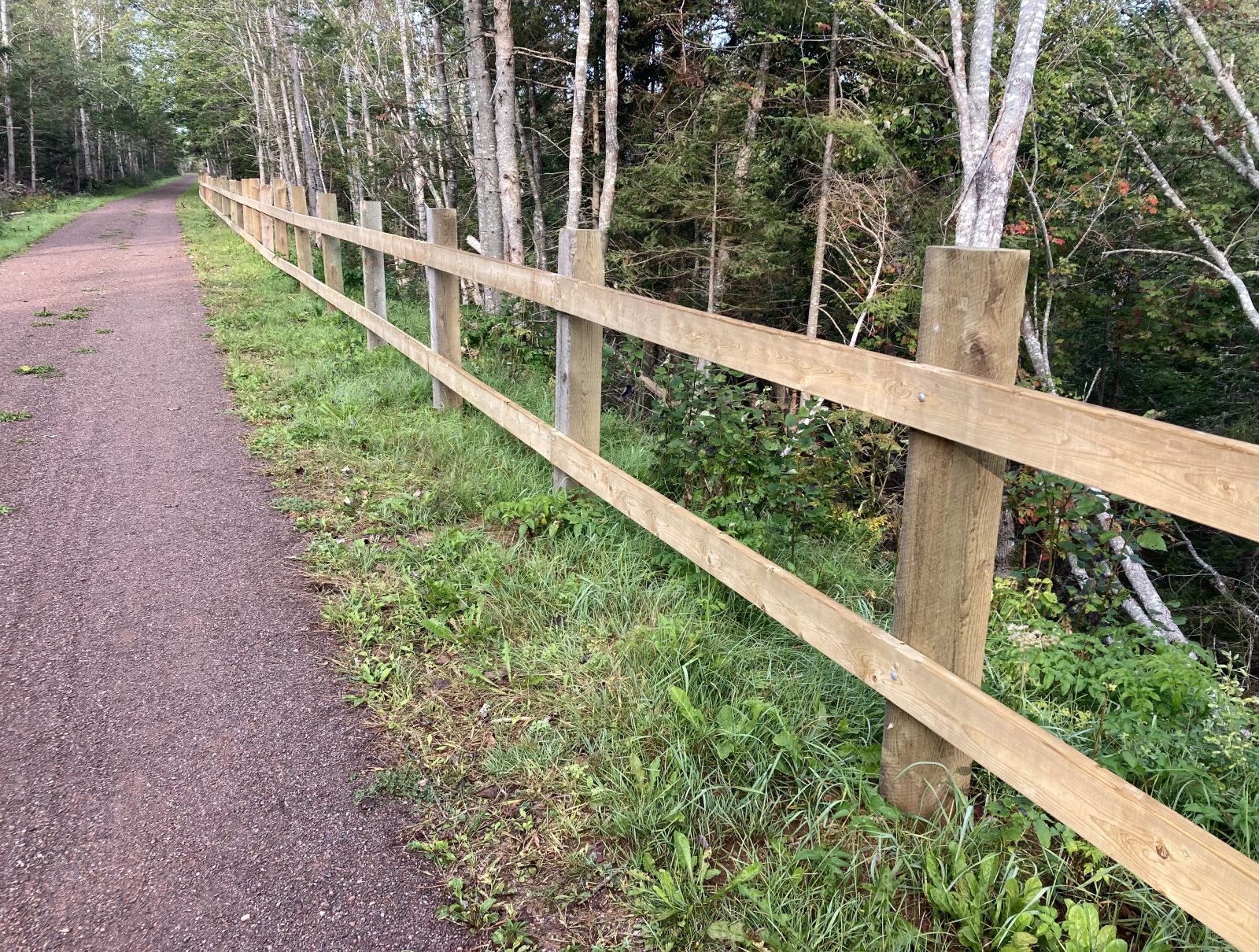
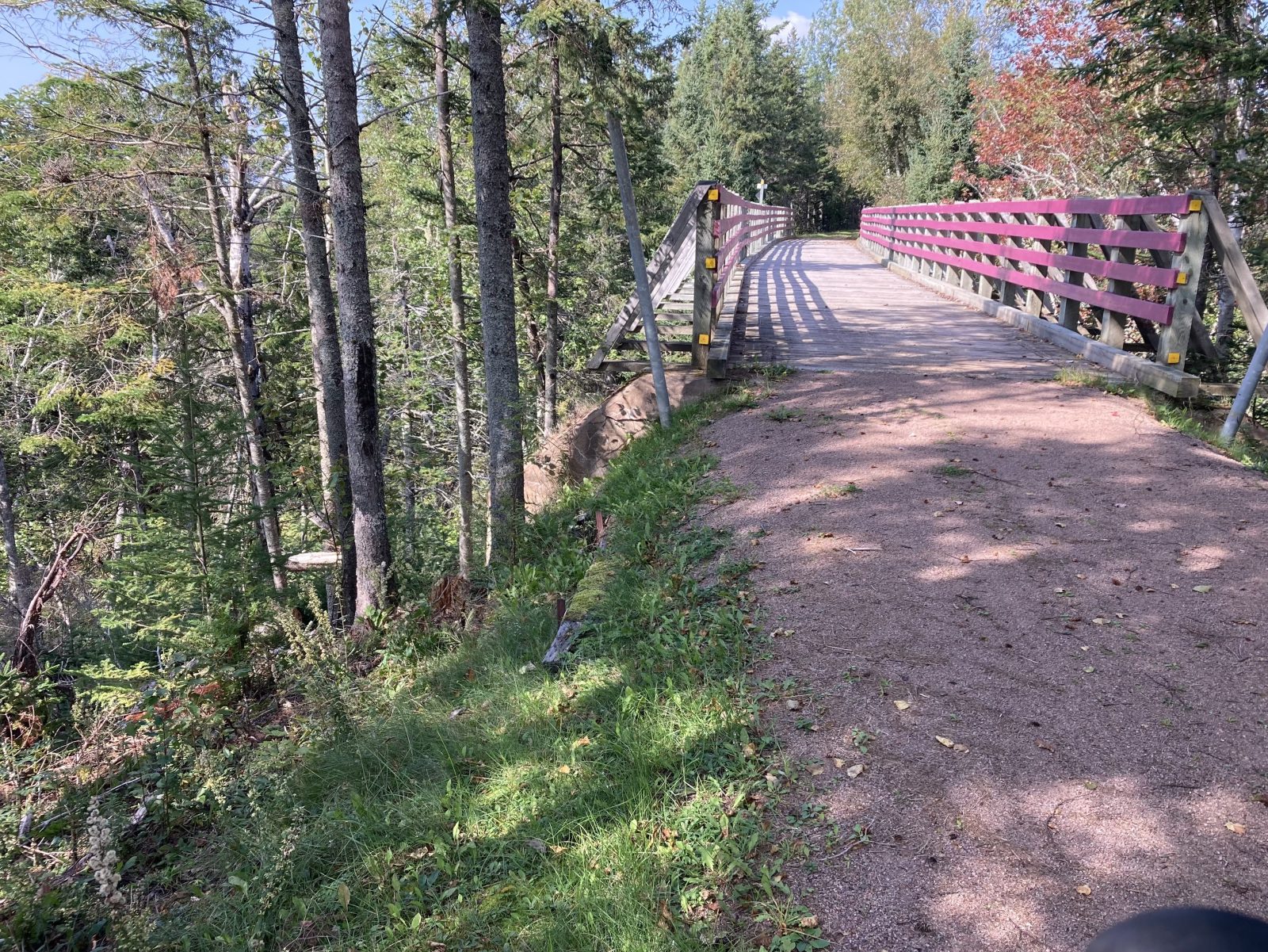
1. Railings on the Confederation Trail because of very steep banks.
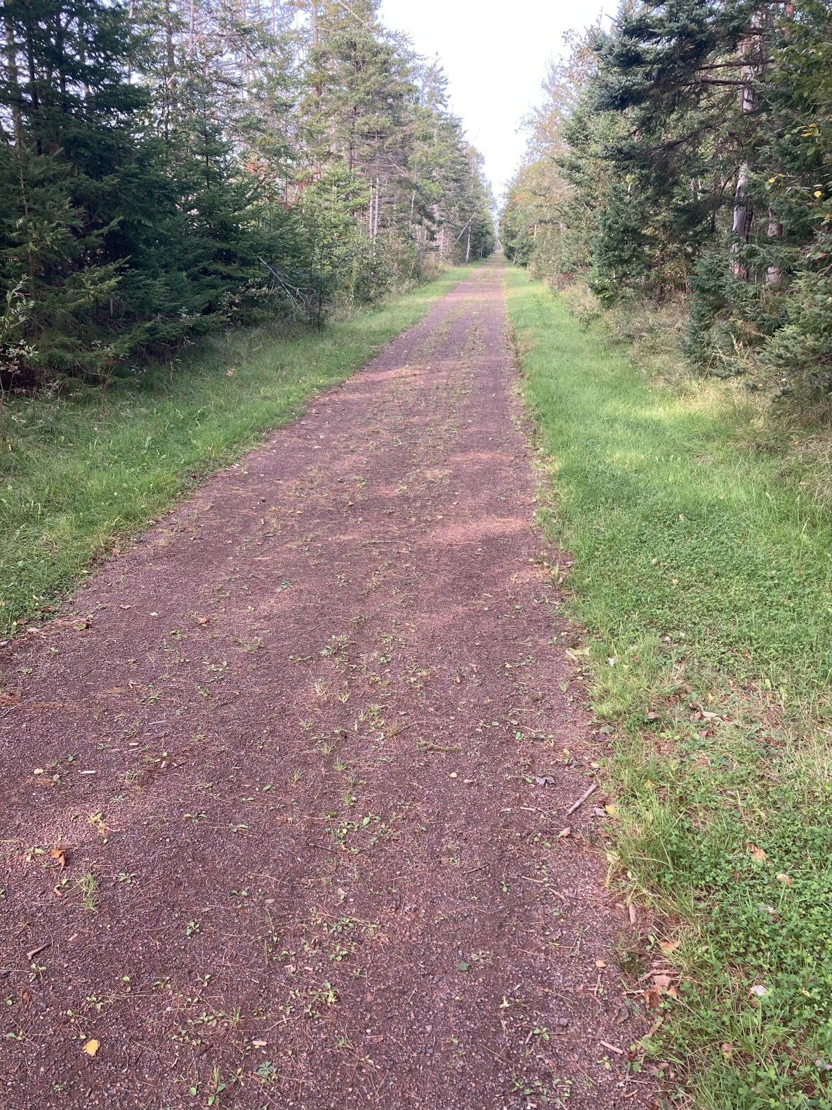
2. The extremely straight trail.
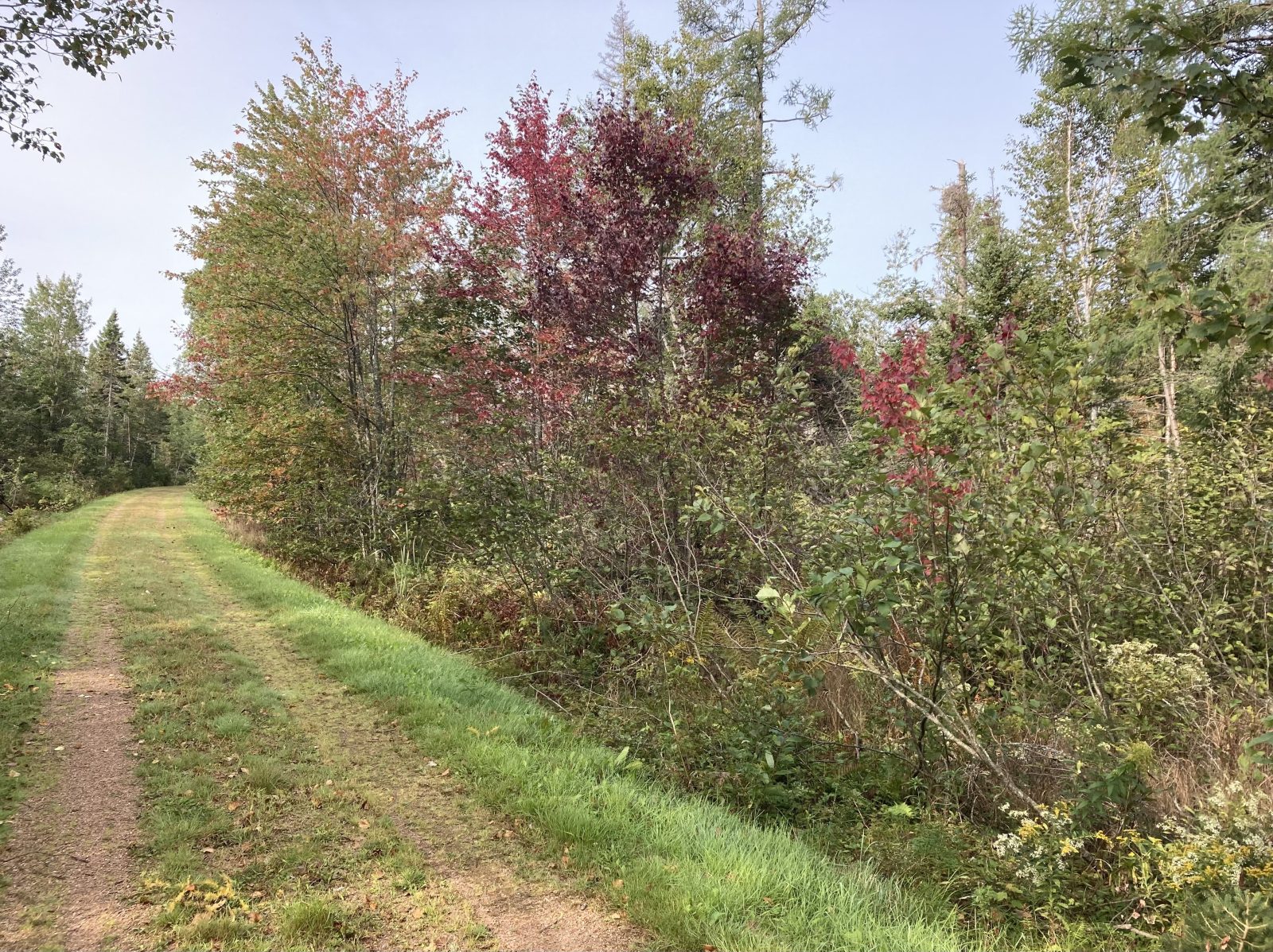
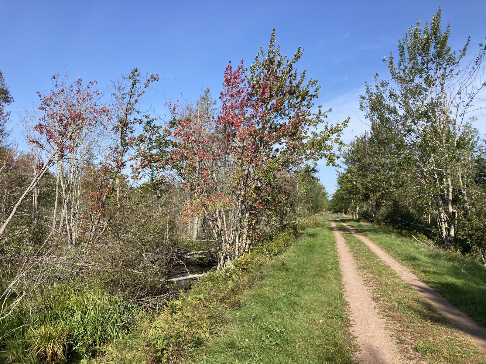
3. Fall colors.
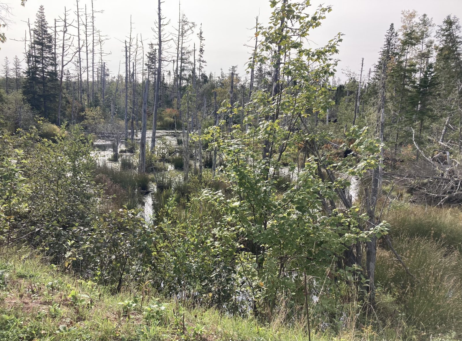
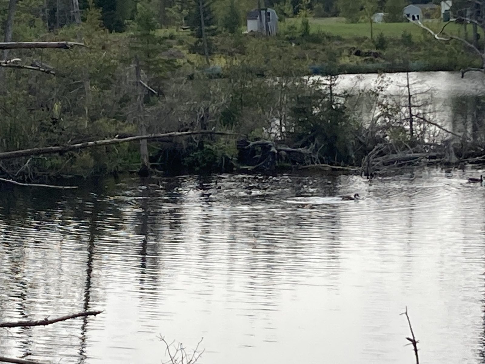
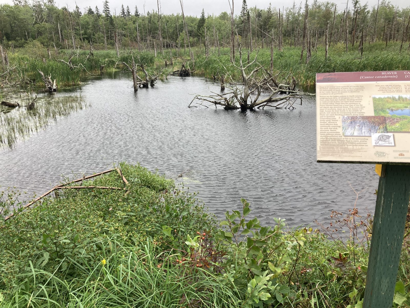
4. Common marsh scene.
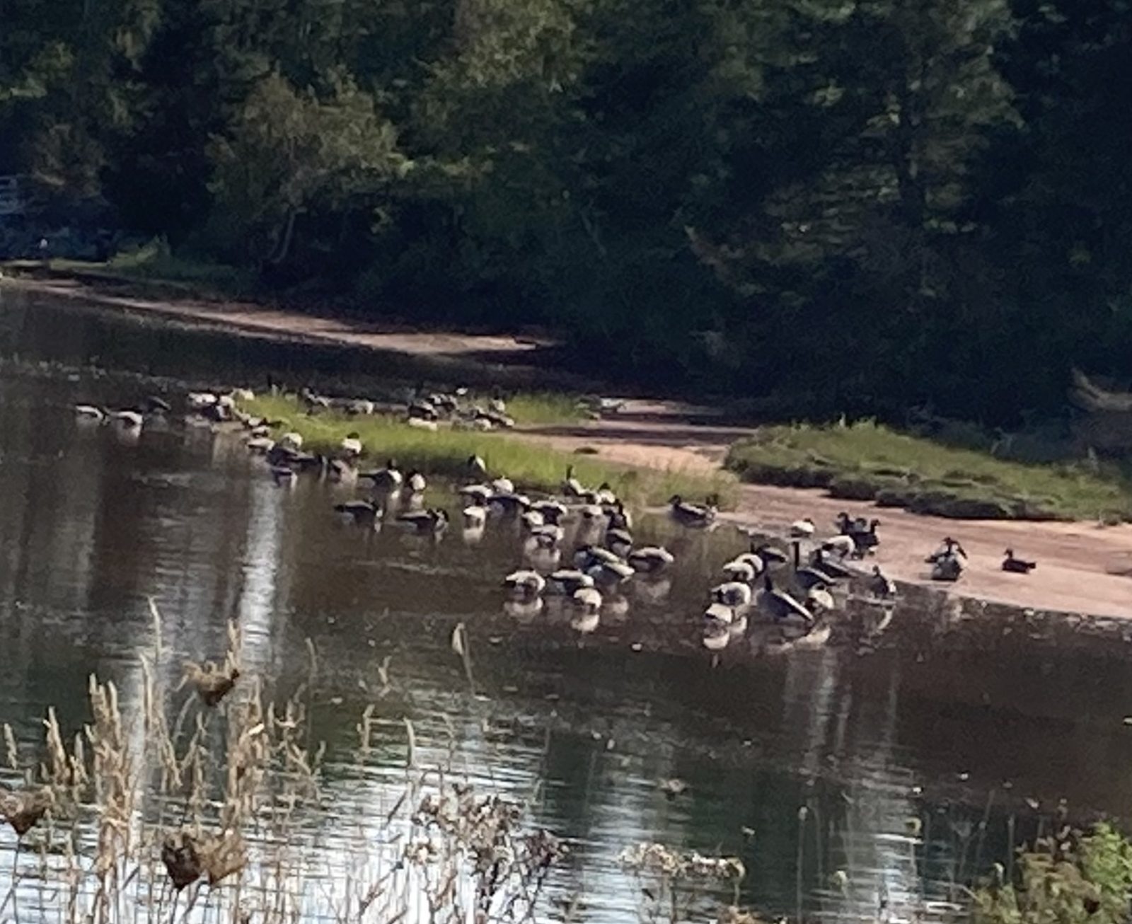
5. Canadian geese that haven’t yet flown south.
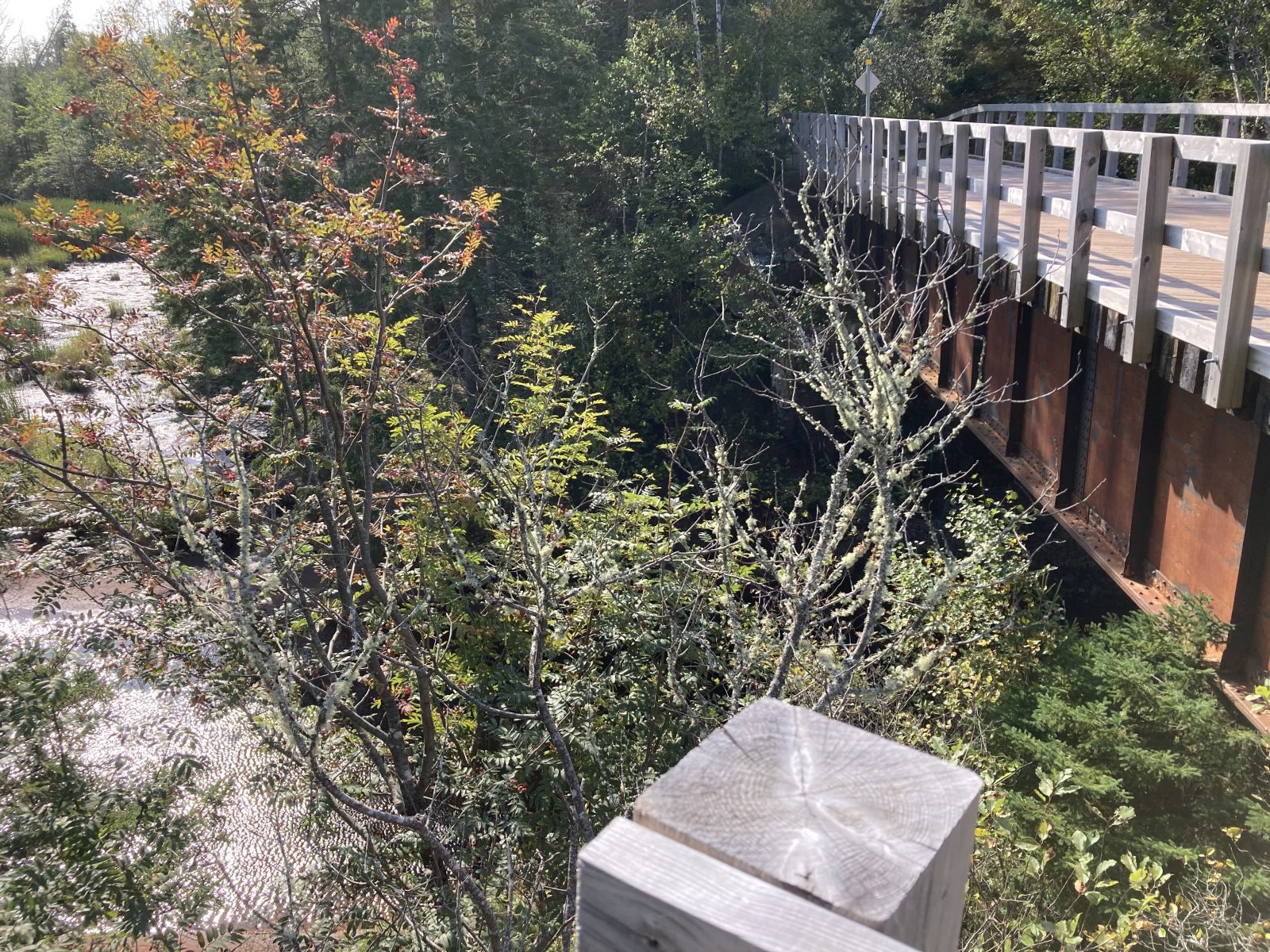
6. Bridge over an extremely deep gulley.
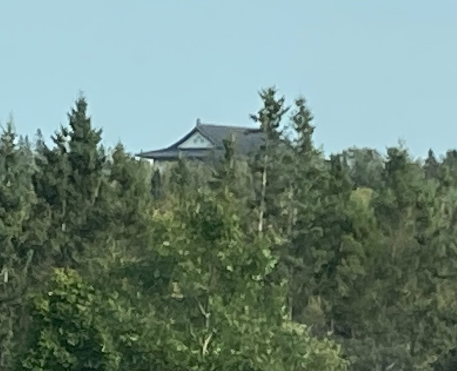
7. Taiwanese Buddhist Center established to grow as their new home—locally very controversial.
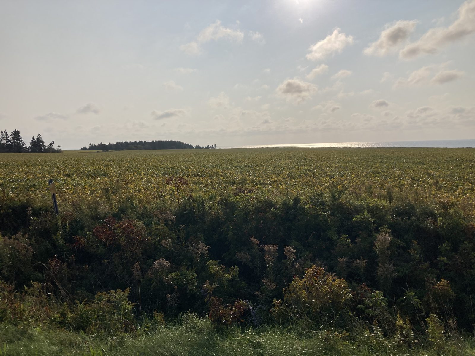
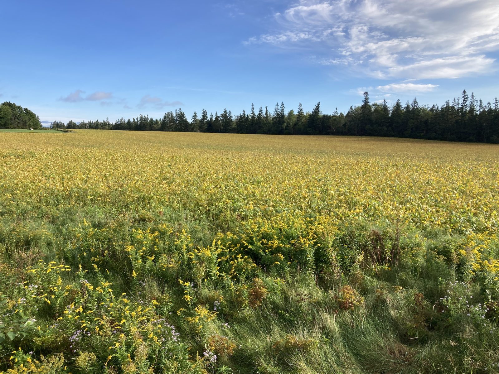
A gorgeous day with sunshine until the very end when gusts of wind picked up. Today’s 12.5 mi was mainly on Route 17 and the last 3.5 mi on Point Pleasant Road, both lightly traveled country highways. The landscape alternated between agricultural fields with a predominance of still unharvested soybean fields, forested lands, and river estuary flows out to sea.
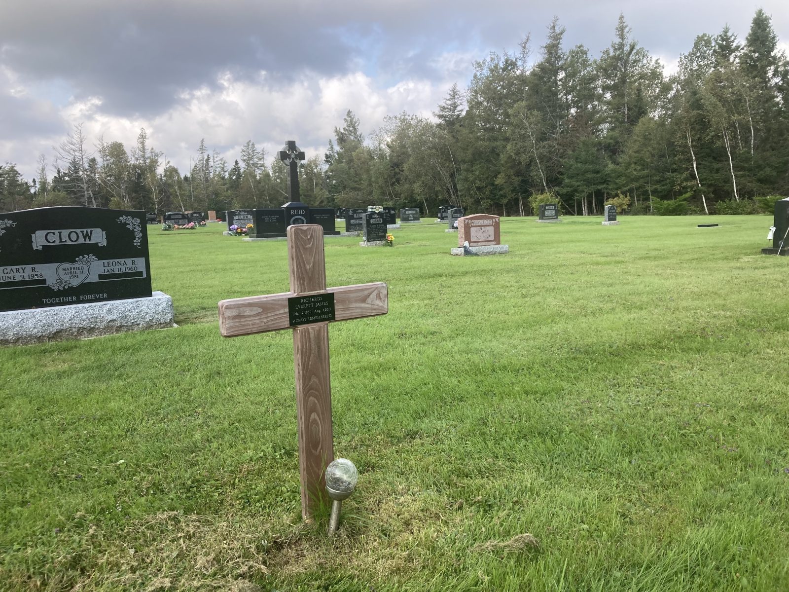
I usually stop at cemeteries along the way, one juxtaposition of haves and have-nots especially catching my eye—what a stark difference between a simple wooden cross and an oversized monument! (The deceased with the wooden cross died 12 years ago at the age of 61.
A beautiful day for walking, most of the 12.8 mi on country roads (Rte 17) with bays to my left. The Inn at Montague made me move this morning before my walk, but I’m not complaining—they gave me their executive suite. Now when’s the last time someone staid in this suite who did all their laundry by hand? And that’s what I did this evening.
Interesting sights today:
1. Impressive Halloween decoration
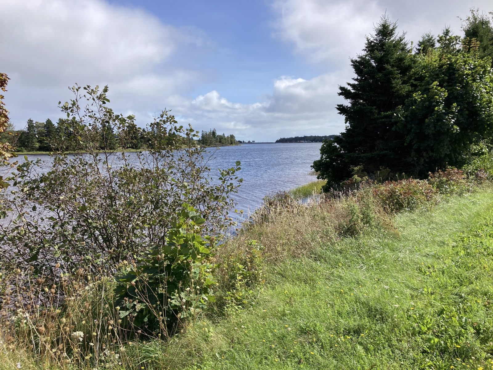
2. Looking across Montague River Estuary to Georgetown with the ferry visible
3. Fall colors looking at the estuary
4. View from my Lane’s Inn suite to the Montague River
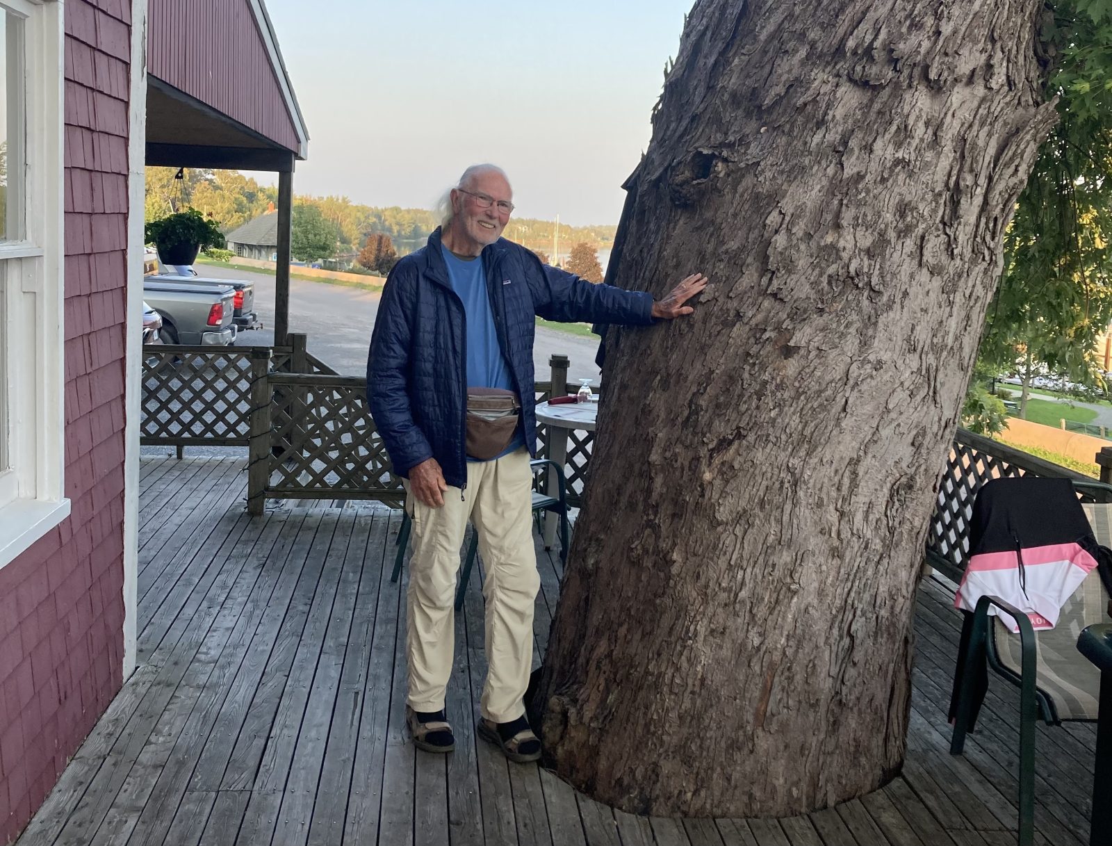
5. Famous Silver Maple Tree at Windows over the Water Restaurant
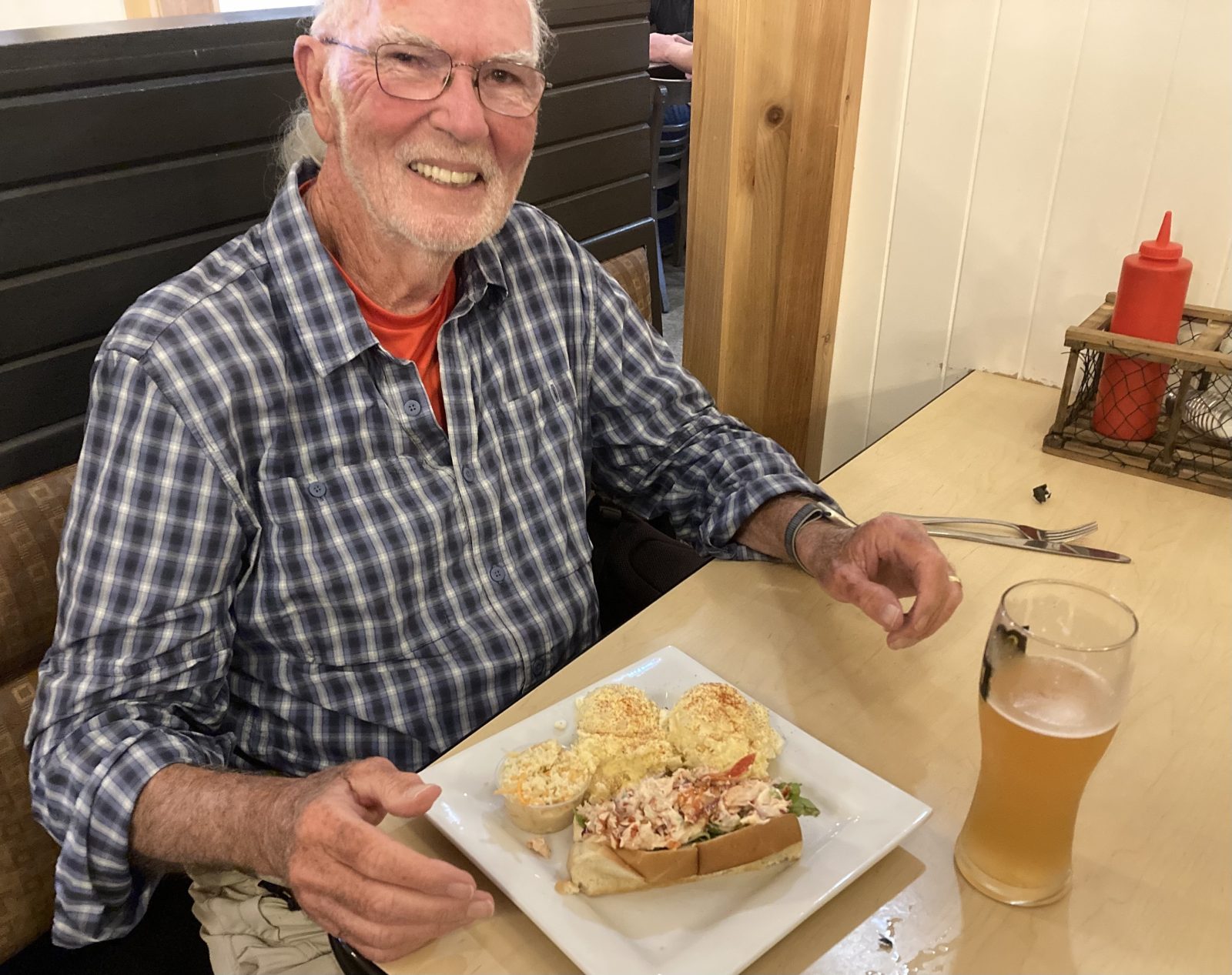
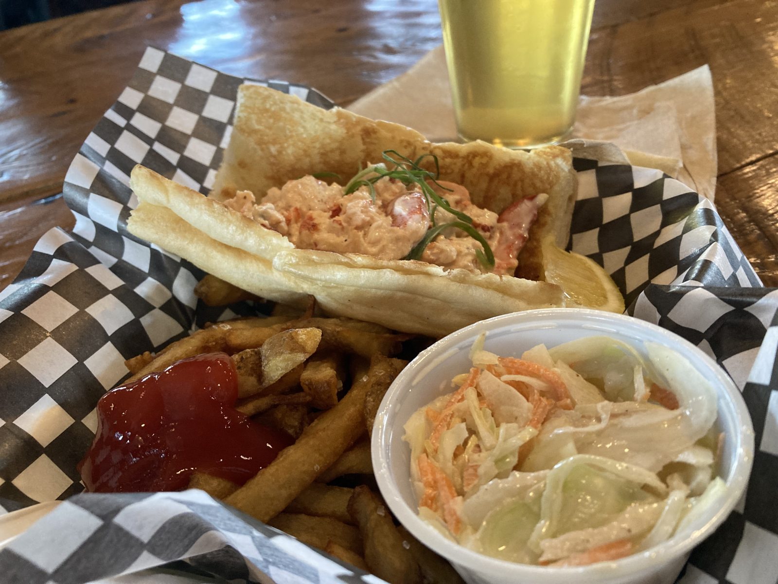
6. Lobster Roll at the funky Bogside Brewery a block from the Lane’s Inn
Yesterday, my walk from Howe Bay ended at Cardigan, essentially at the Clam Digger Restaurant. Since I already had my cab coming from Montague, I had no chance to eat there. My fix was to reverse my walk today and go from Montague back to Cardigan and have the cab pick me up after lunch, rather than have it drive me out in the morning—brilliant—eh!
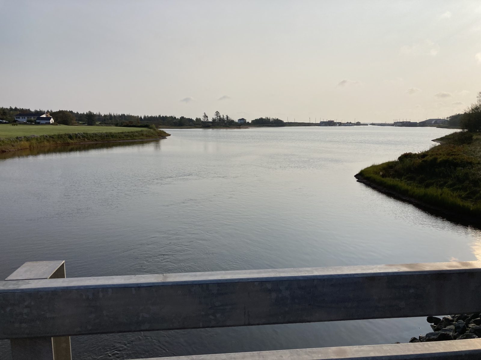
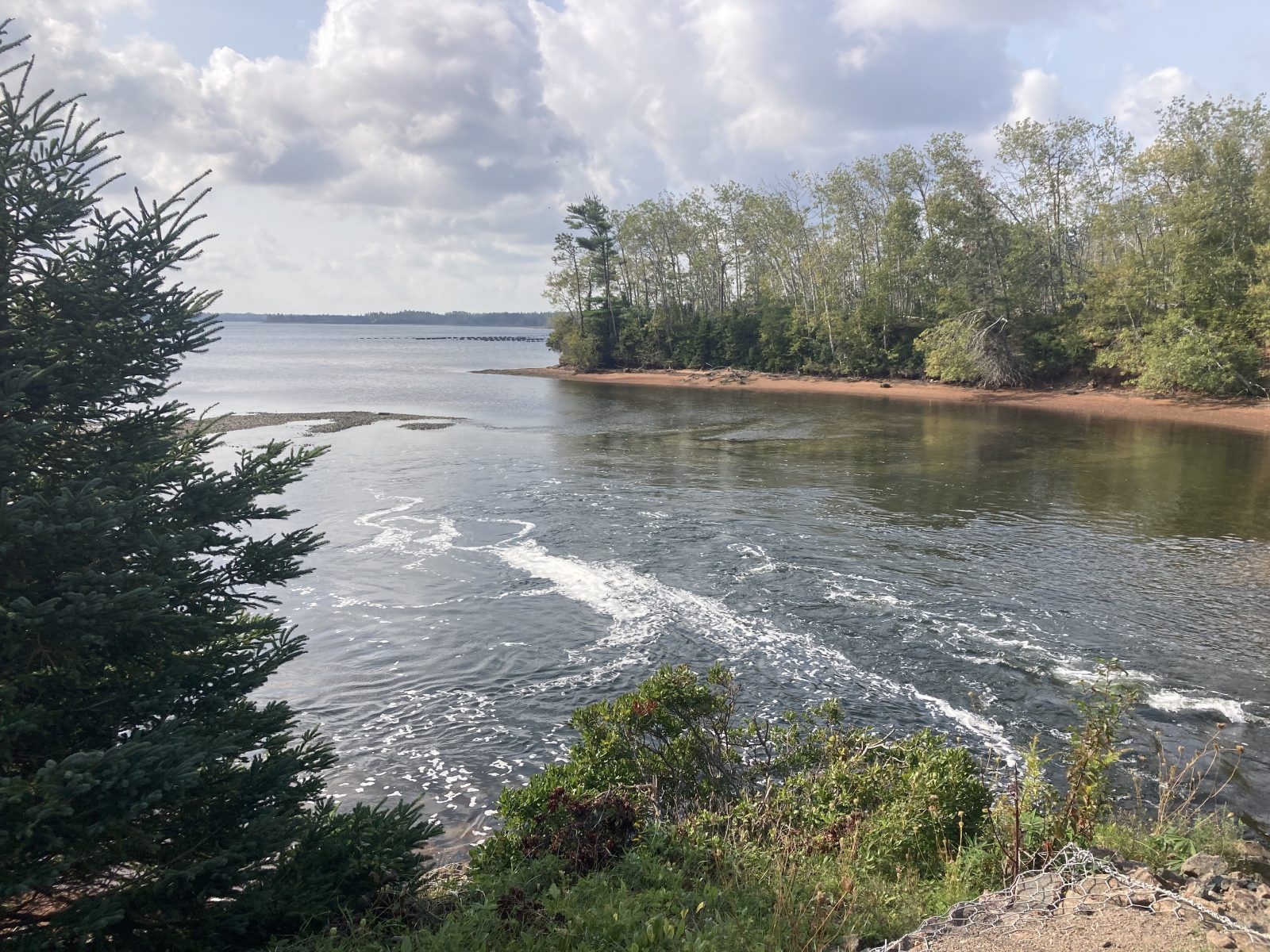
The entire, short 7.8 miles followed the Confederation Trail, at first along the Montague River Estuary and then going north to cross the Brudenell River and finally arriving at the Cardigan River Estuary. It was popular with joggers and walkers, particularly around Montague—then again, river walks always are!
These are some of the sights that drew me in:
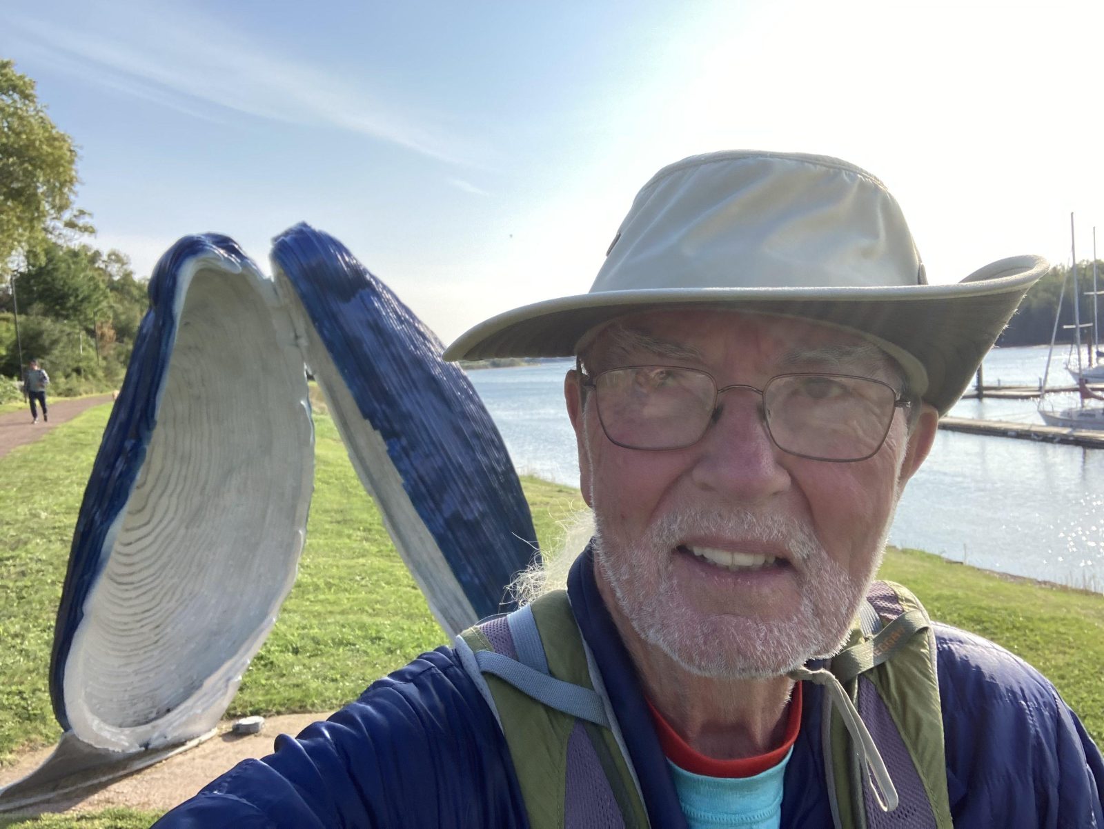
1. Huge oyster shell
2. View of my lodging at Lane’s Riverhouse Inn and Cottages
3. Fall turning of the leaves
4. Damage from last year’s hurricane
5. Rail bridge on rail trail
6. Clam Digger in Cardigan
7. Lobster roll at Clam Digger


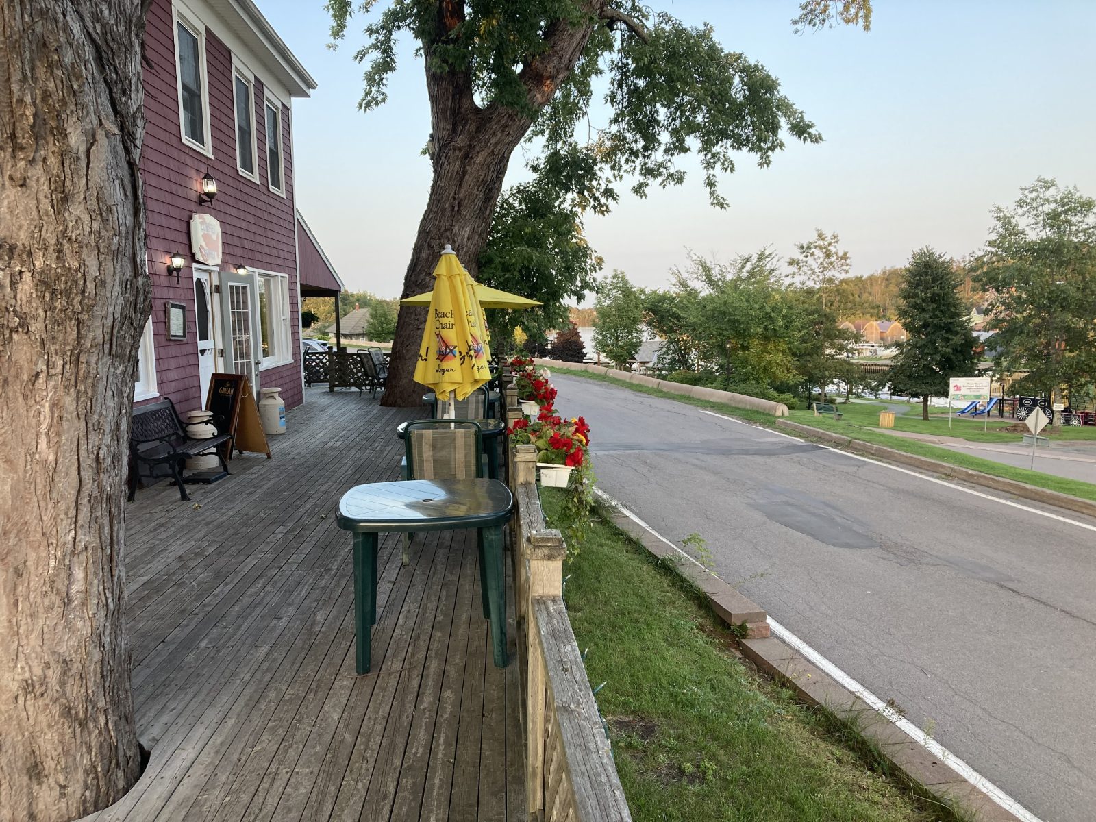
Great day for walking the 14.6 mi (23.4 km)—never got above 63 deg, no rain, and no gusts. I felt a bit low on energy, probably because of the last two days on a granola diet and not drinking enough. That was the extent to which I wanted to cook since there weren’t any eateries within walking distance. I made up for it tonight here in the town of Montague. I had dinner at the nearest (and best) place in town, especially for seafood: “Windows on the Water.”
Today’s highlights:
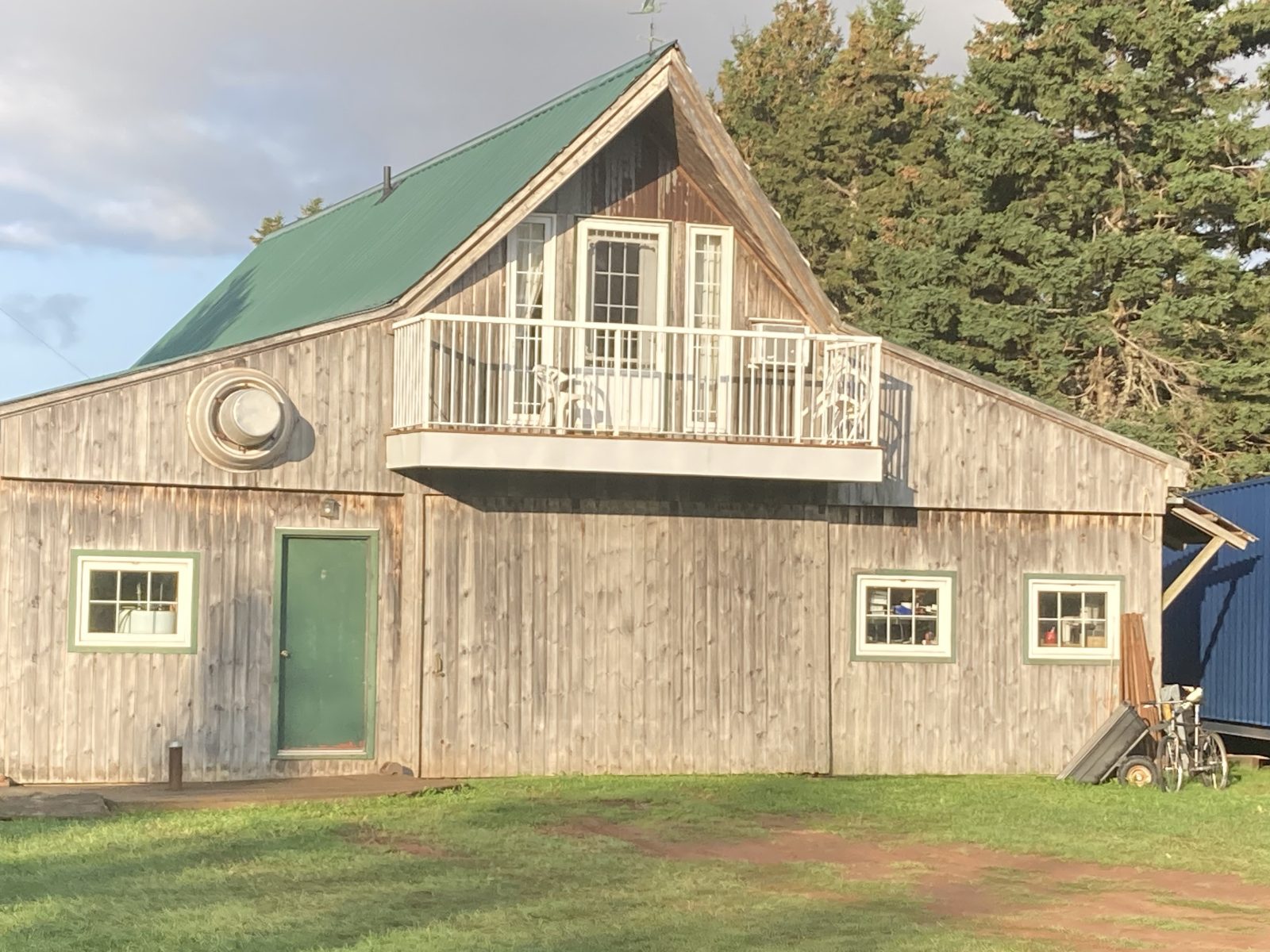
1. A final glimpse of the Barn where I stayed the past two nights.
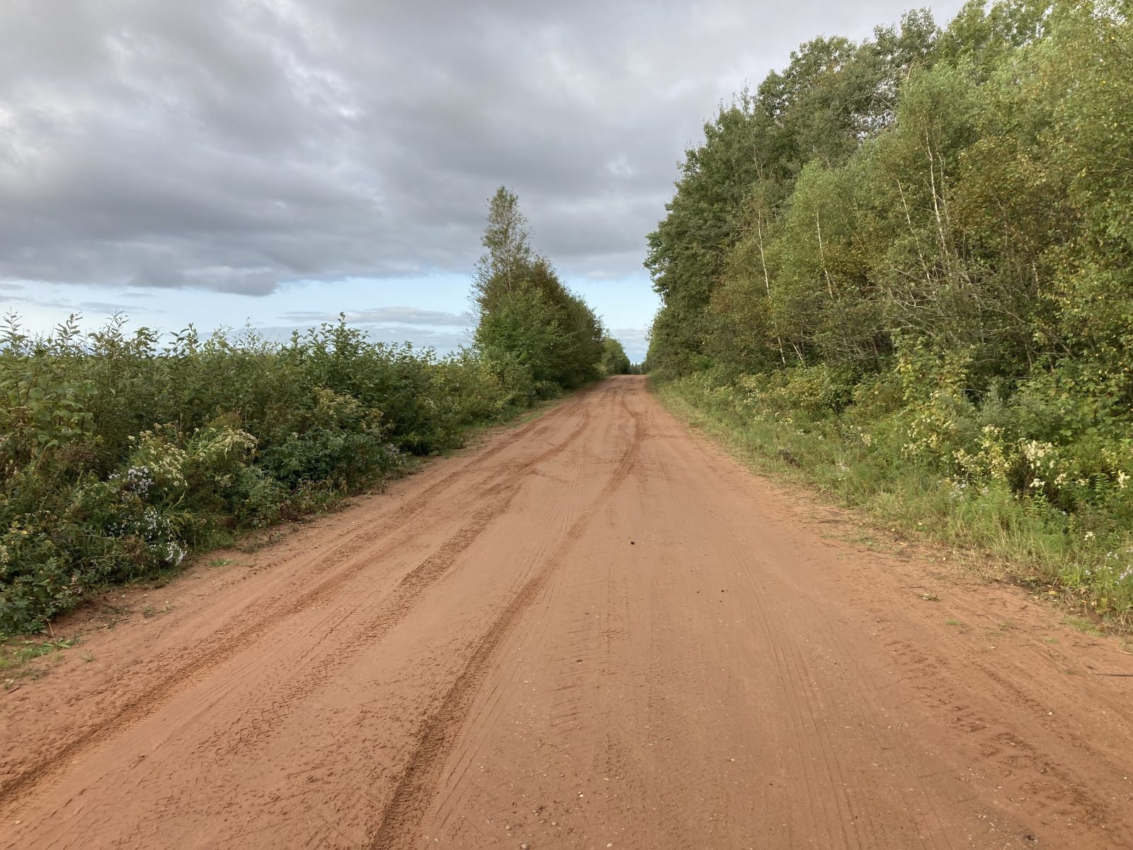
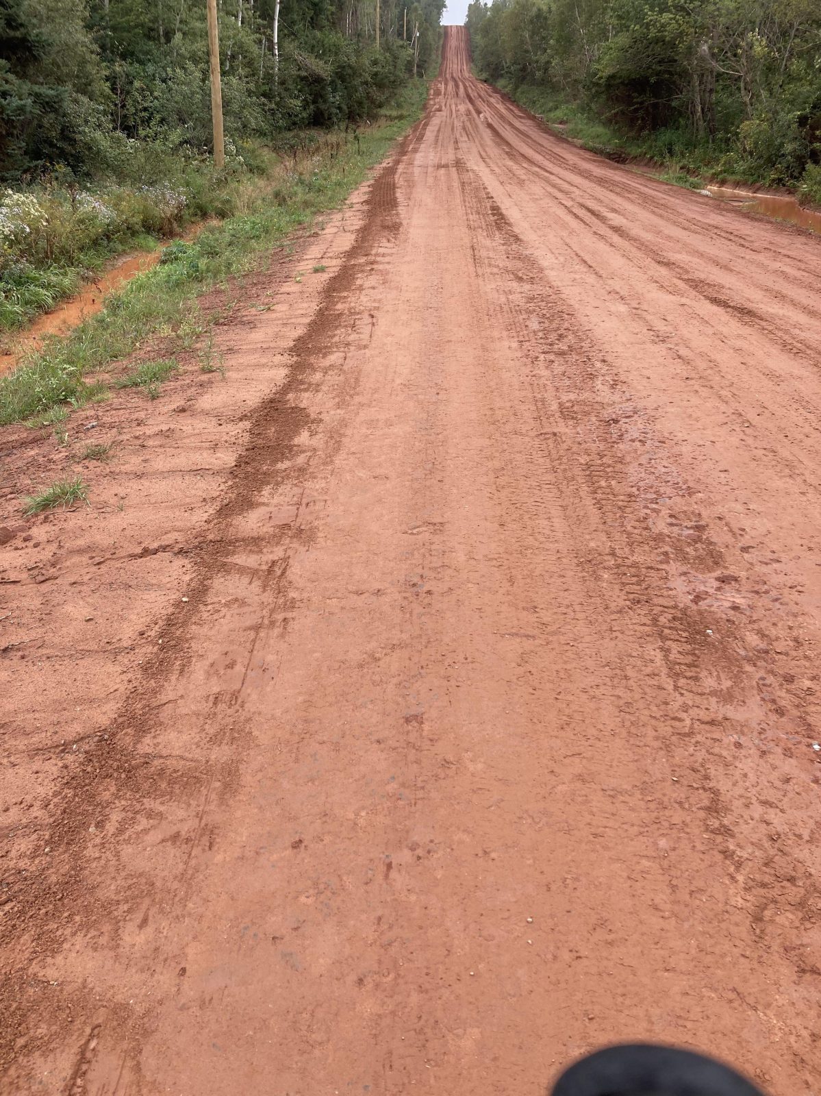
2. Most of today’s walking was on dirt roads, a welcome relief from highways.
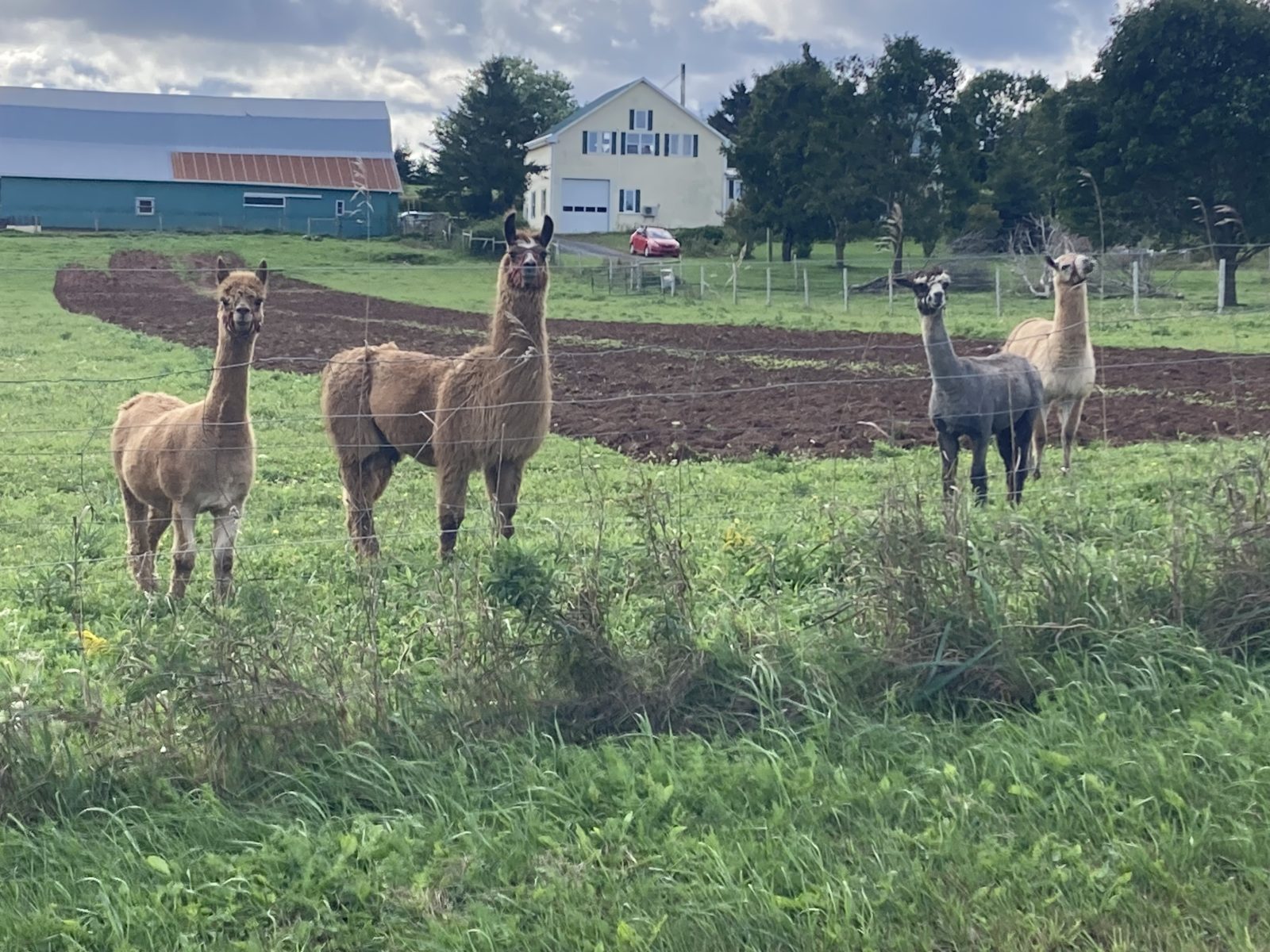
3. A few llamas befriended me.
4. Canadian geese welcomed me at my destination today.
5. After cioppino dinner shot of “Windows on the Waters” restaurant—great food—I resisted desert!
David, the Innkeeper, shuttled me back to Souris a little after 9:00 AM and I had to have a Tim Hortons sausage and egg muffin before walking my 13.5 mi (21.6 km). It never hit 60 deg today, lightly drizzled some dozen times (but not enough to make me don my poncho), and blew gusts of wind at me nearly the whole time. All in all, however, it was a very scenic walk with many glimpses of the bays to my left.
Interesting stuff along the way include:
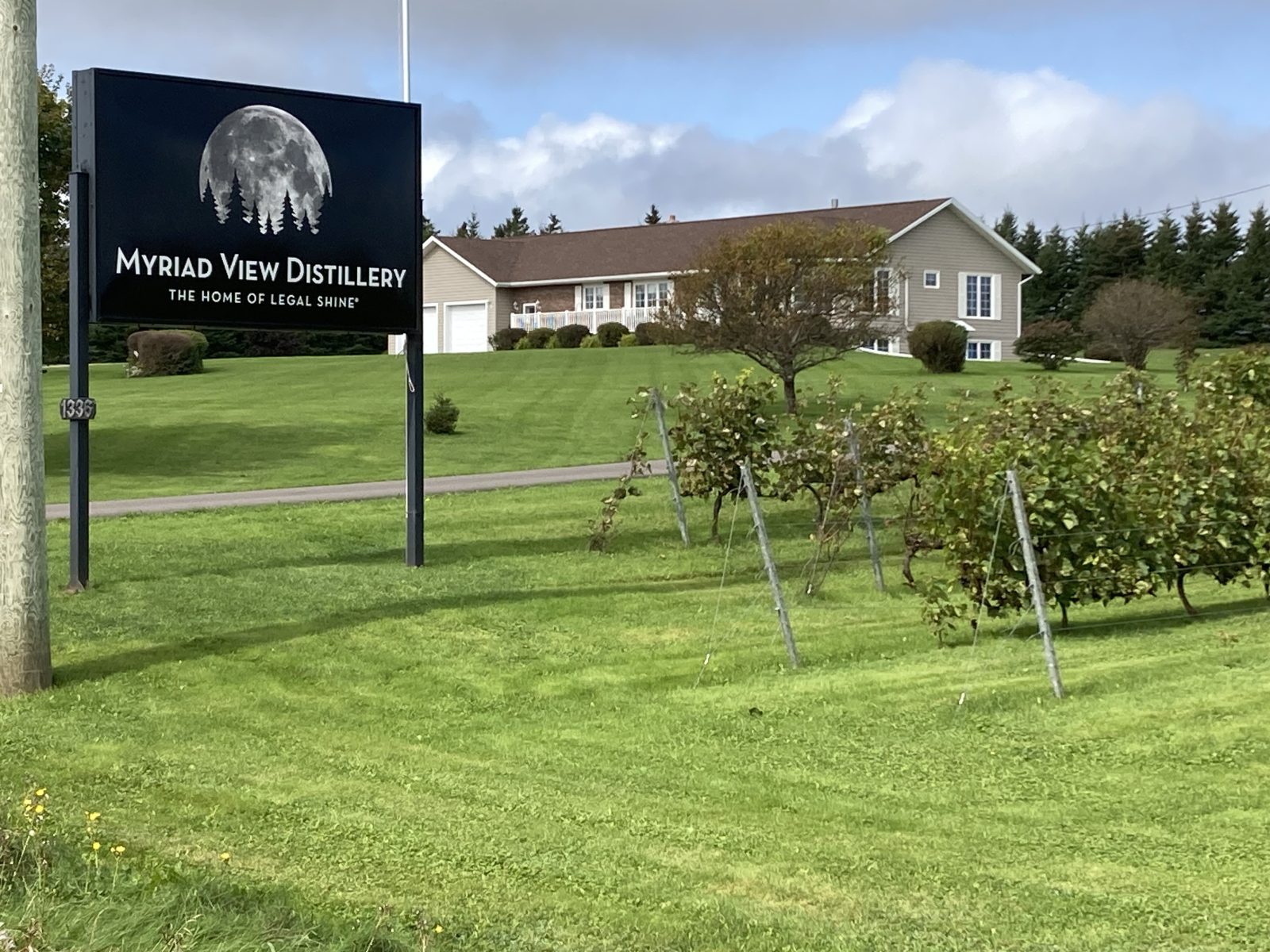
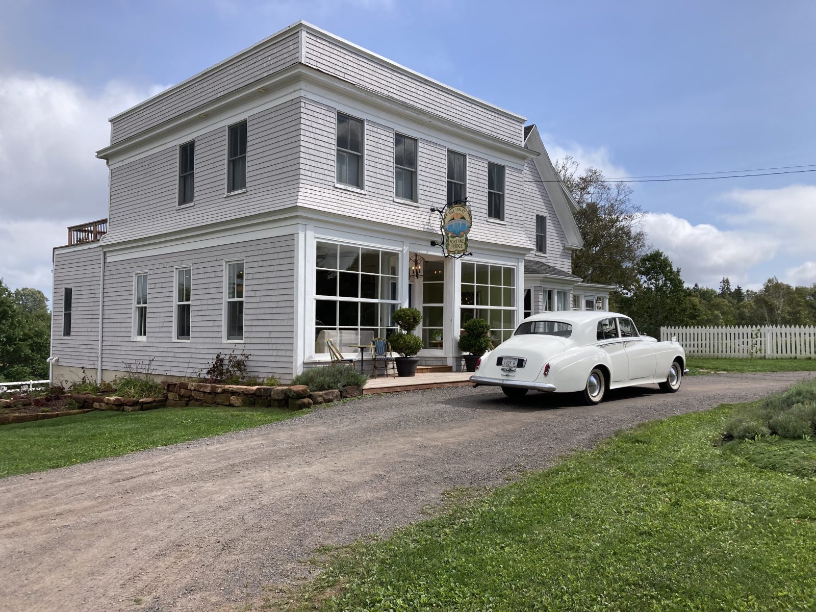
1. The Myriad View Distillery that celebrates PEI's bootlegging past. It produces Canada's only legal moonshine, which comes in two strengths: the original 50% proof Strait Shine, and a hard-core double-distilled Strait Lightning (a staggering 75% ABV).
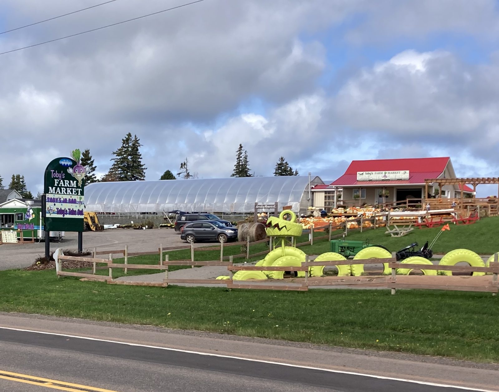
2. Toby’s Farm Market.
3. The Inn at Fortune Bridge with a classic Bentley parked in front.
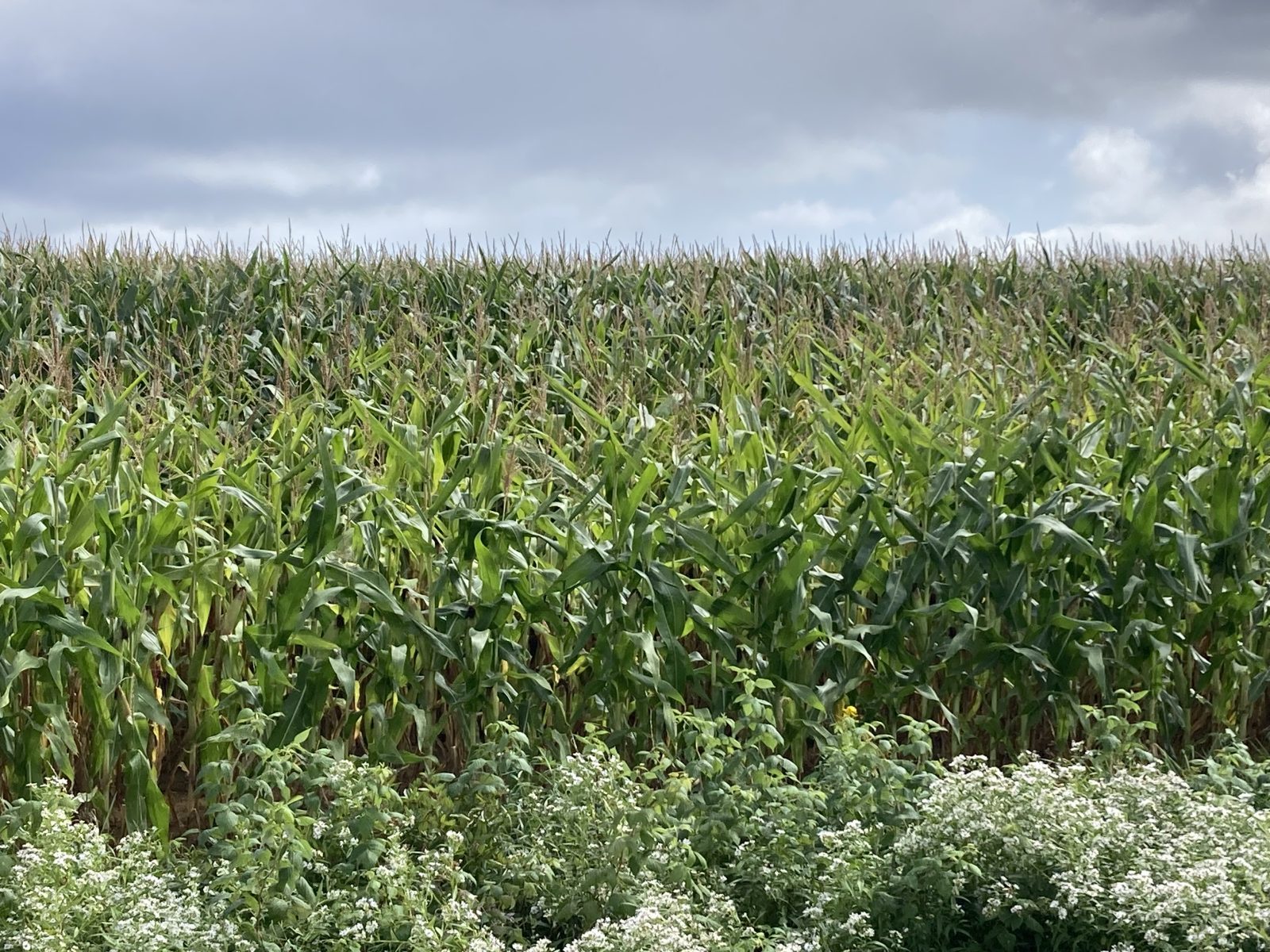
4, Fields and fields of corn ripening for Thanksgiving.
Mel drove me to yesterday’s end point and I headed west to Souris (pronounced like Surrey). About half way through the 10.6 mi (27 km) it began to drizzle and the wind gusted increasingly hard in line with today’s forecast. I decided early on to deviate from the official route and took the most direct one to cut off some time.
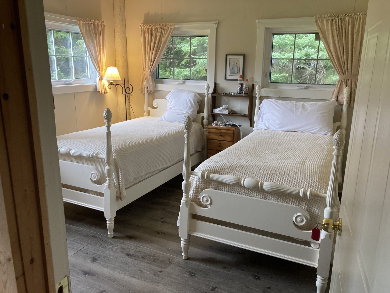
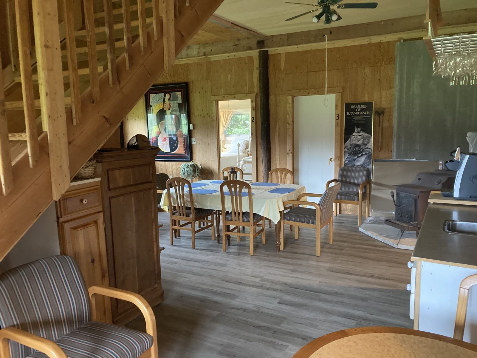
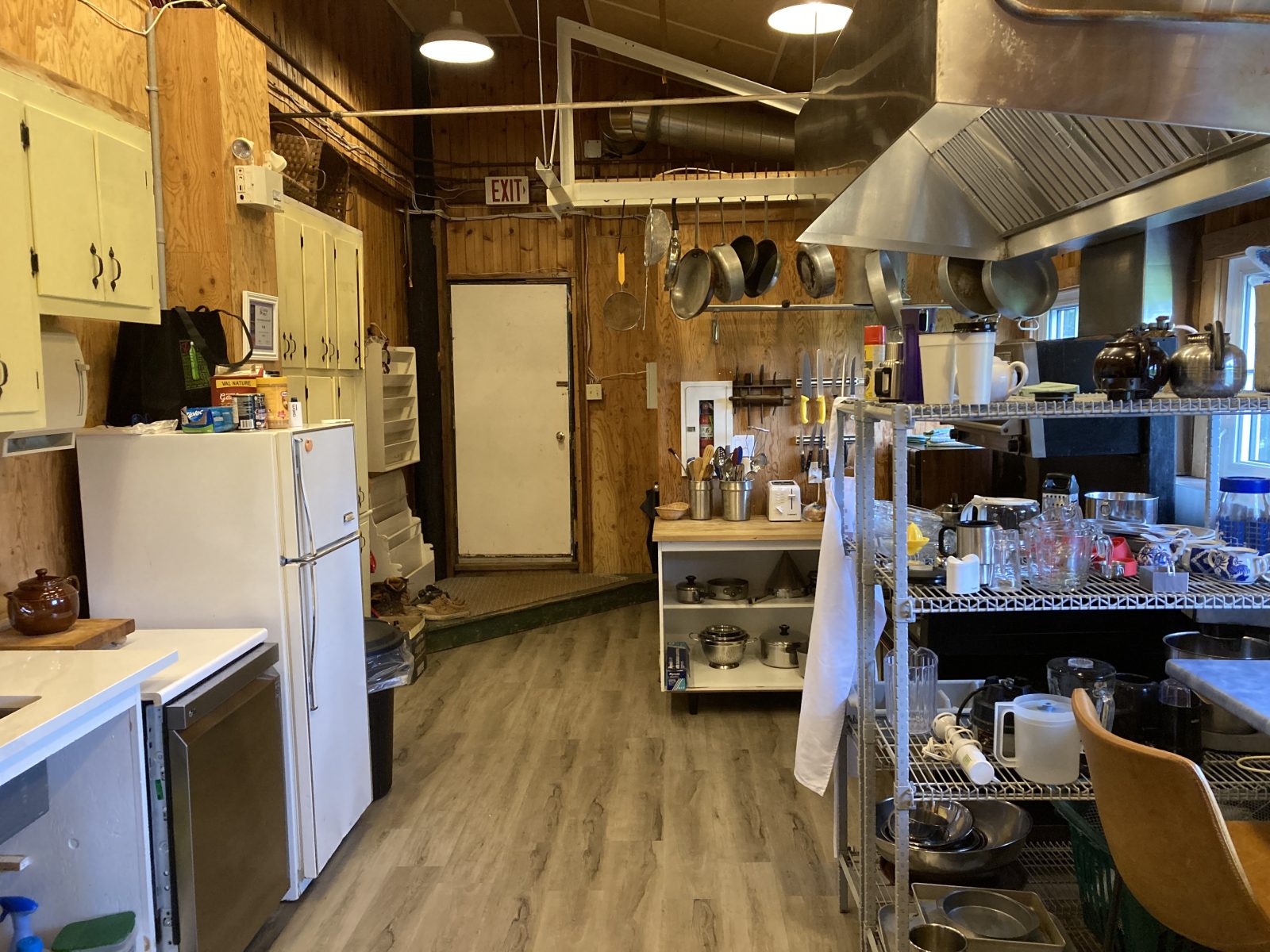
At Souris, I had an adequate lunch, bought some breakfast items, and called for my pick up. The Inn at Spry Point’s owner’s sister picked me up and drove me to the Inn, my lodging, a barn converted into a hostel of sorts—I have one of the bedrooms downstairs. There’s a large kitchen and large common area. NB: first night that I’m sleeping in a single bed!
I was stressing out about not being able to find lodging beyond this place. Luckily, I connected with an Inn at Montague and reserved my lodging for 5 nights, the remainder being in Charlottetown, which should not be a problem. A local cab, also in Montague, will provide the shuttling around what seems like a peninsula.
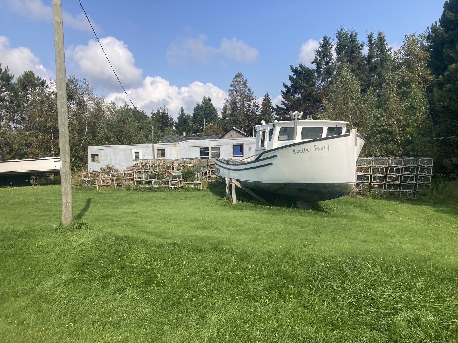
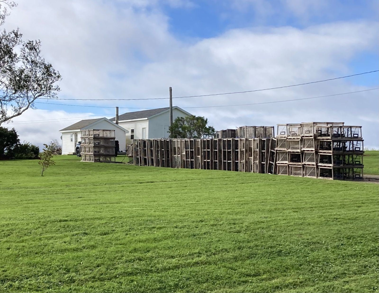
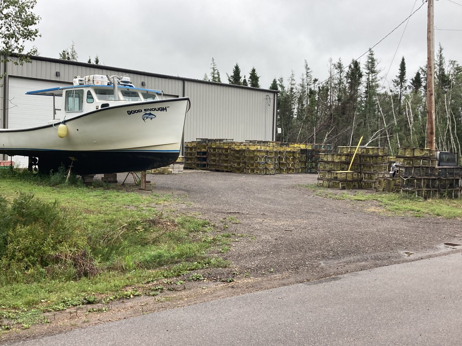
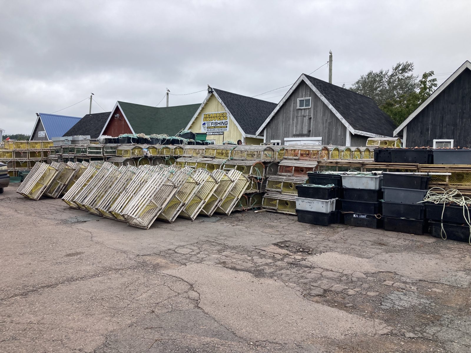
I continued to see lobster traps and fishing boats dry docked on their lawn: probably the two most ubiquitous icons at PEI!
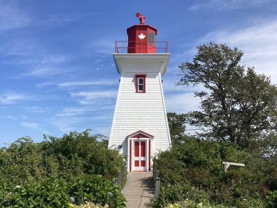
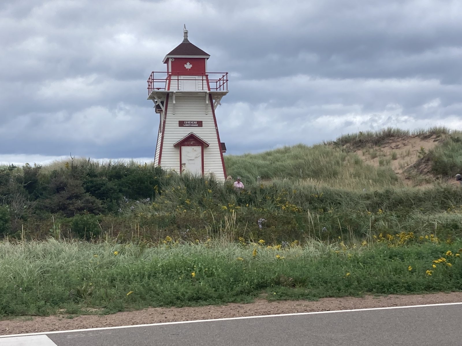
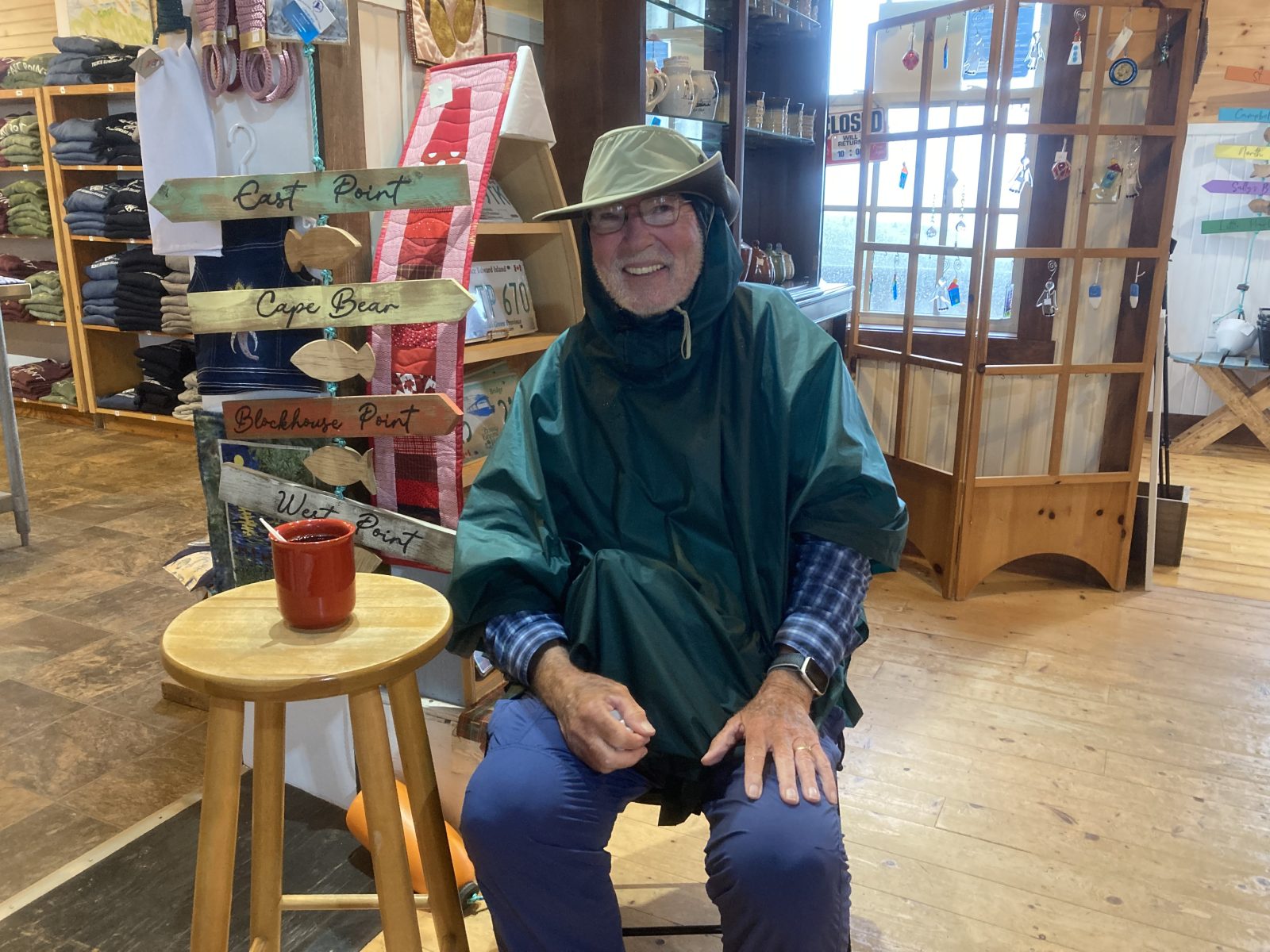
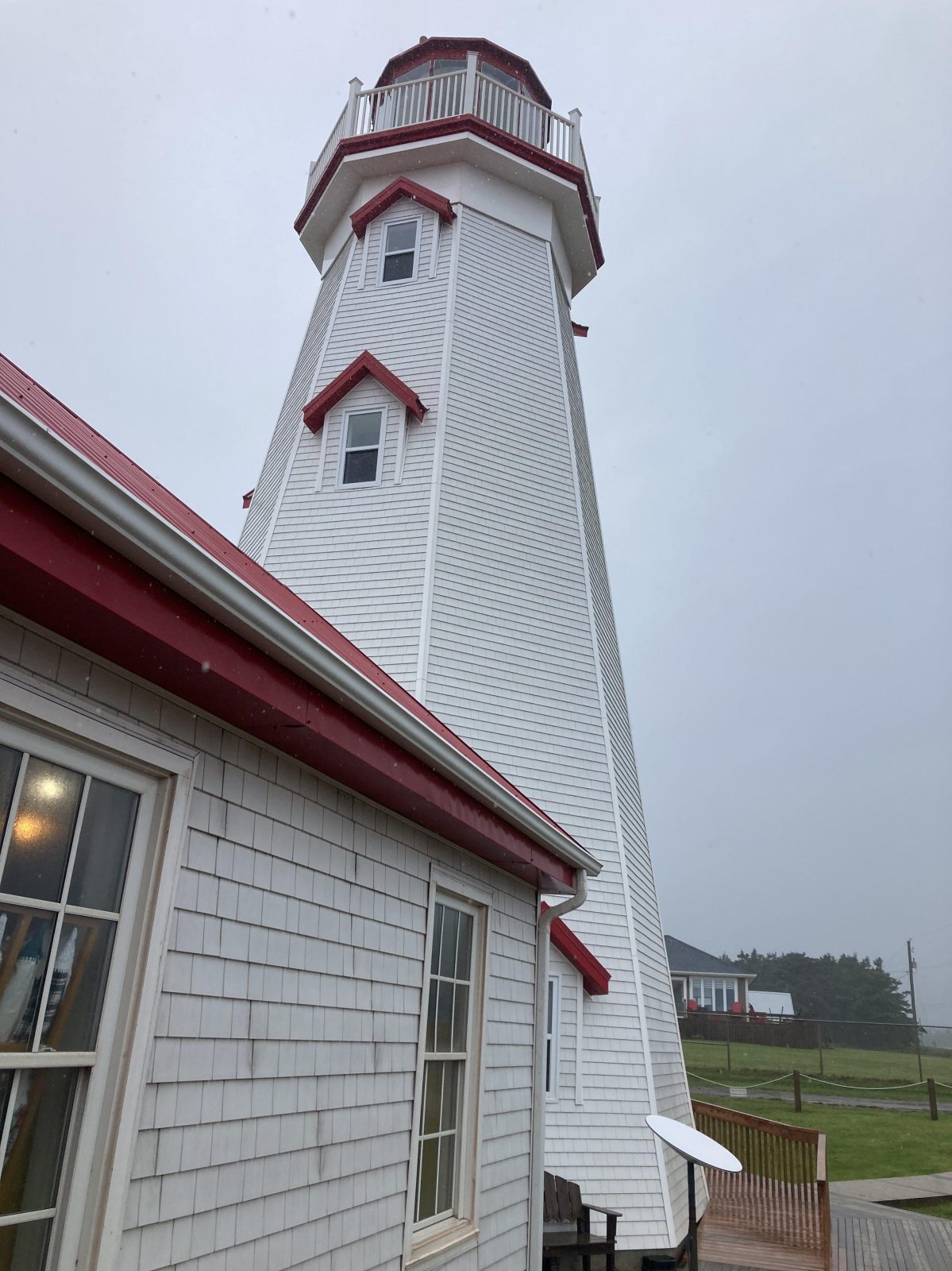
Hard rain and high gusts of wind from the start at Elmira to the midpoint at the Lighthouse—I became so cold that I sensed I was losing control of my legs and hands. I felt I was at my limit—I arrived at the lighthouse gift shop just in time. As an exception, they served me a mug of hot tea and gave me a chair to sit down—very sweet of them. A half hour rest got me going again.
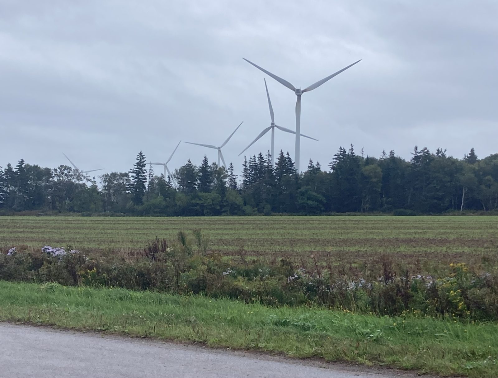
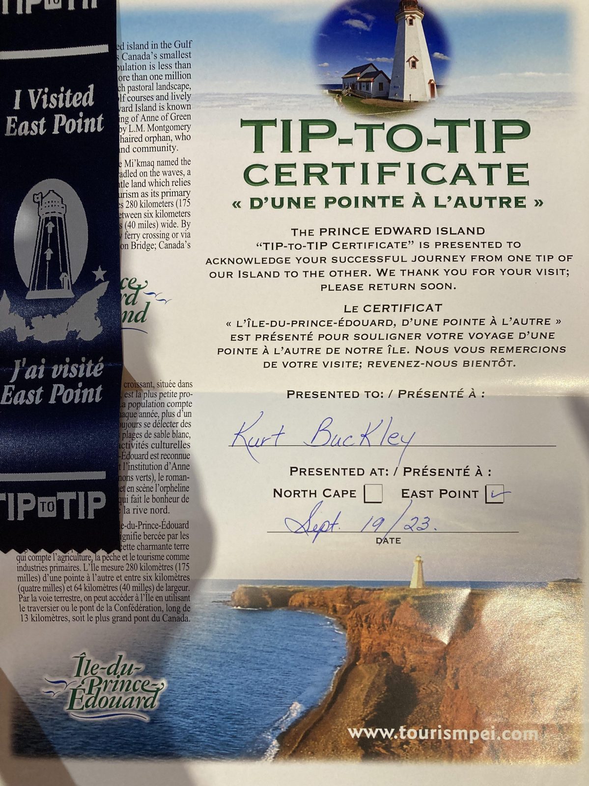
The wind turbines were turning vigorously in the area just before arriving at the lighthouse. I met a couple at the gift shop and the lady coincidentally had a sister living in Ventura—small world! And to top it off, while in the gift shop, they issued me a tip-to-tip certificate; it celebrates a successful journey from one tip of PEI to the other.
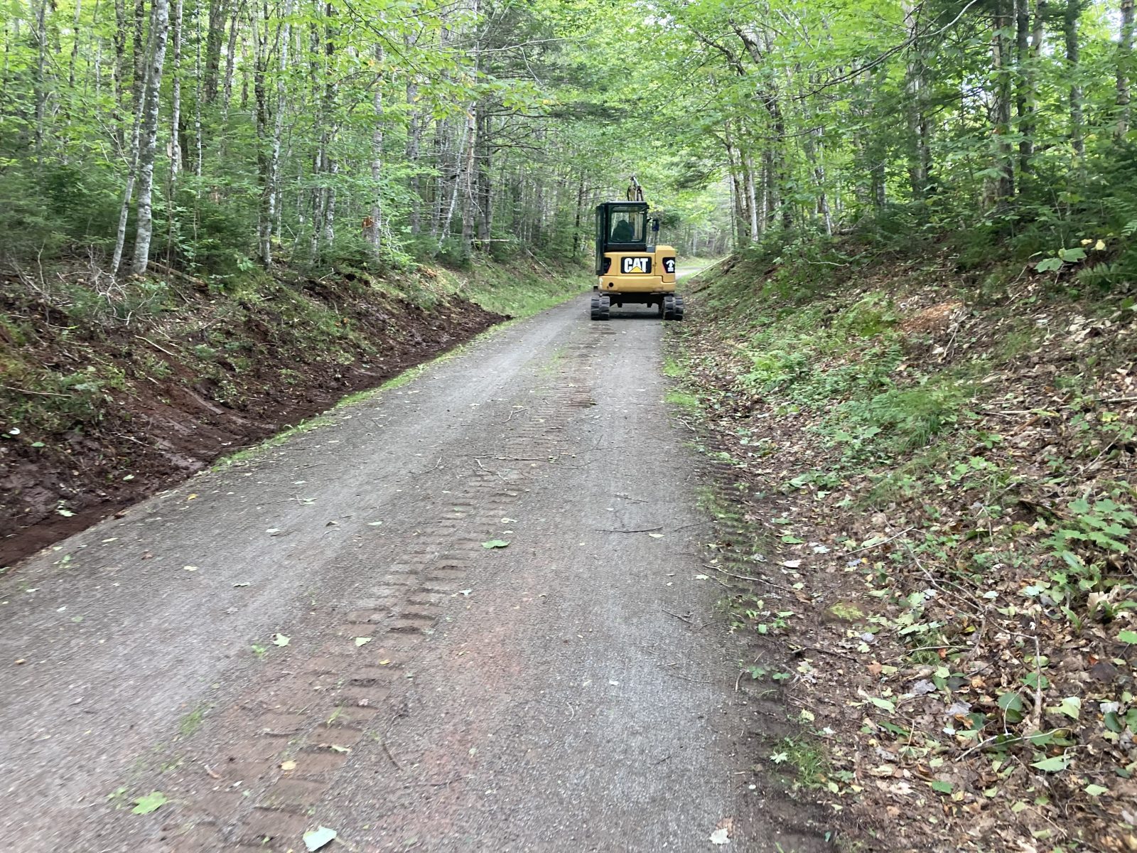
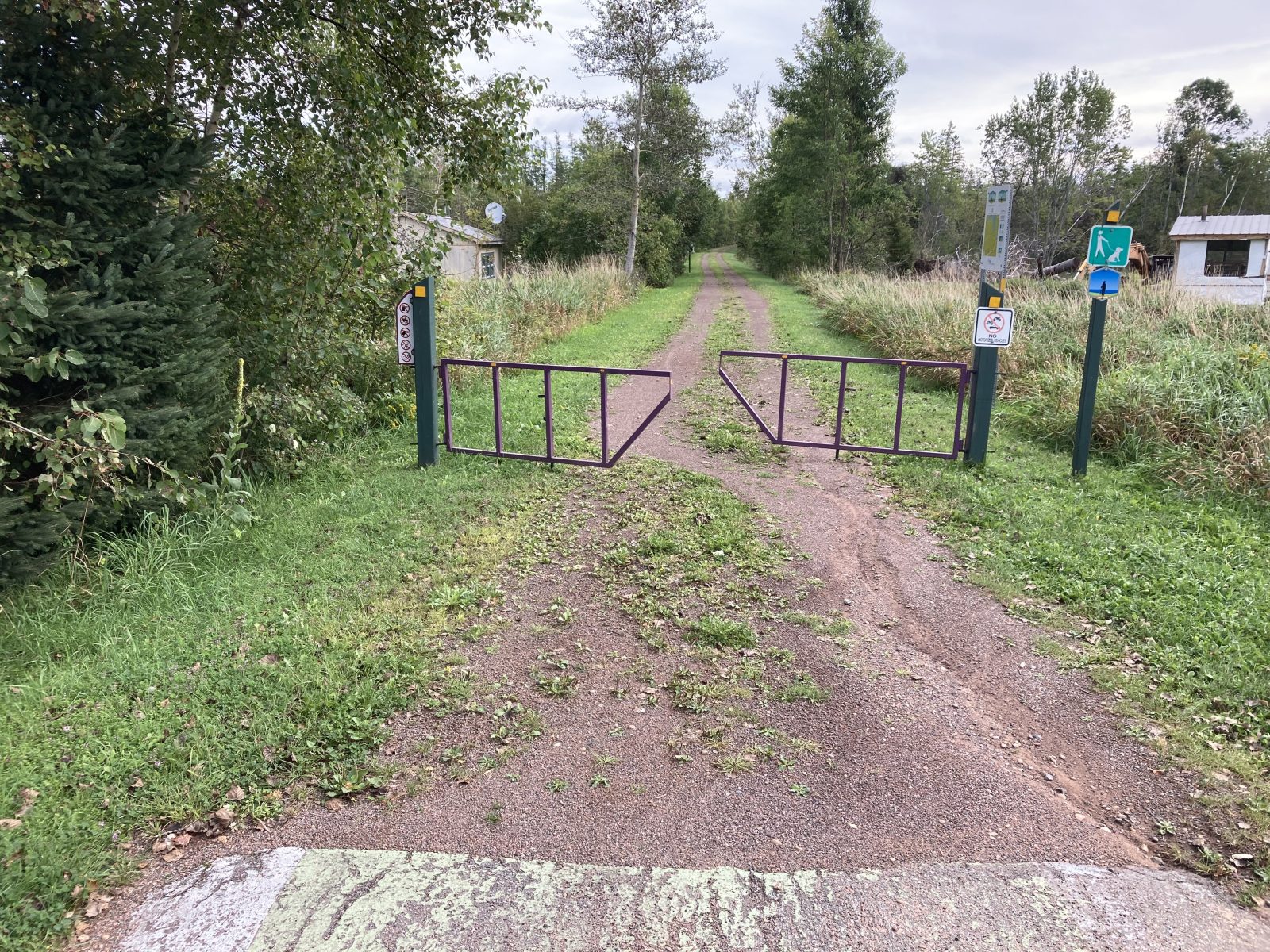
After a down day, I decided to start this section, 21-to-22, from the B&B rather than from New Zealand (#21). It made it a bit longer, but offered me glimpses of landscape other than the Confederation Trail. The driveway alone from my lodging to the highway was nearly 1 mile, and from my lodging to reach the Confederation Trail was 5.7 mi. The total distance was 15.8 mi (25.3 km). The Trail had maintenance crews inspecting for damage after Hurricane Lee and cleaning up were needed (really minimal debris).
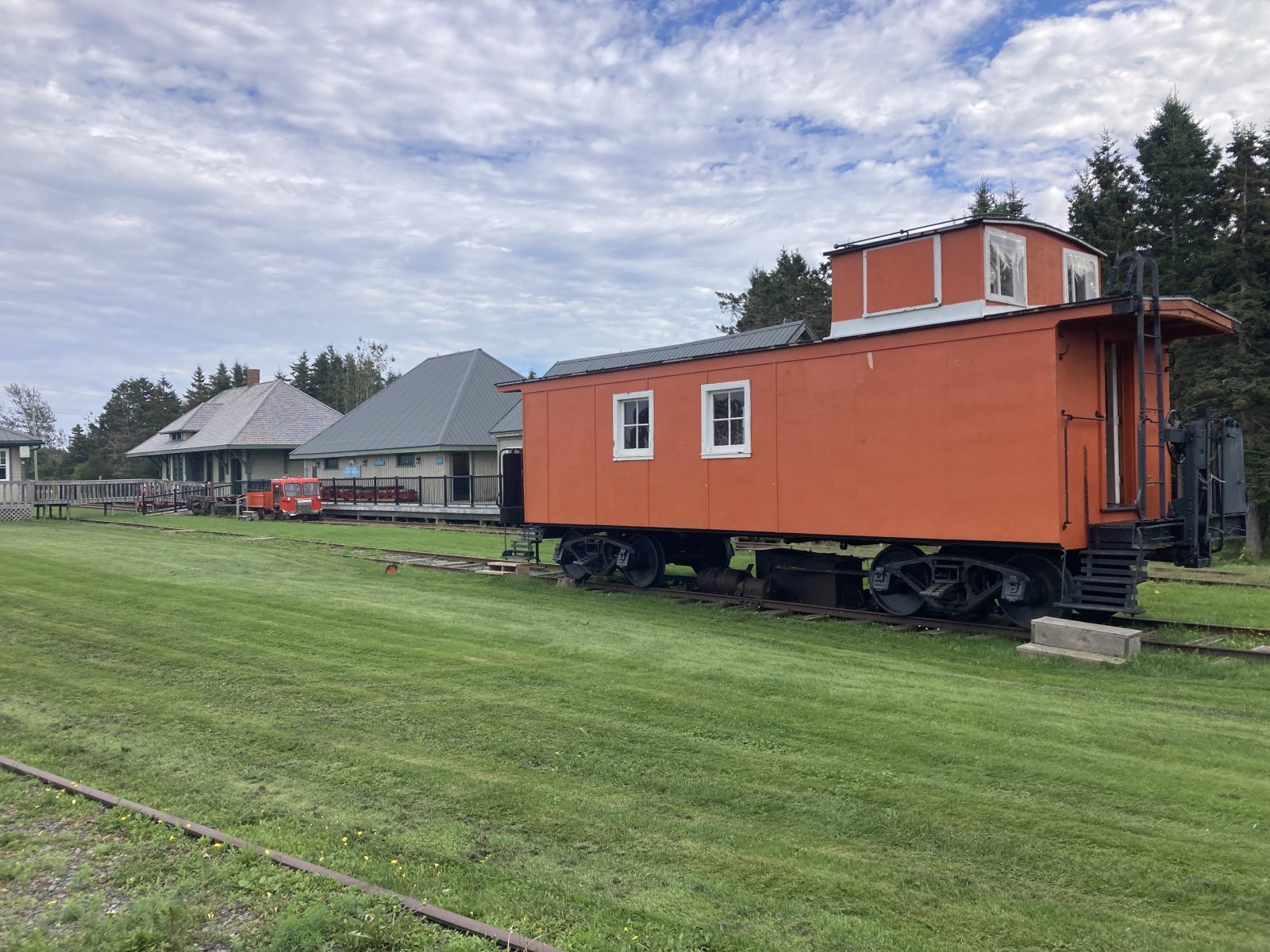
My walk ended at Elmira (waypoint #22), the ending train station on the line when it was still running—now it’s a railway museum that I toured. The B&B shuttled me back to lodging afterwards.
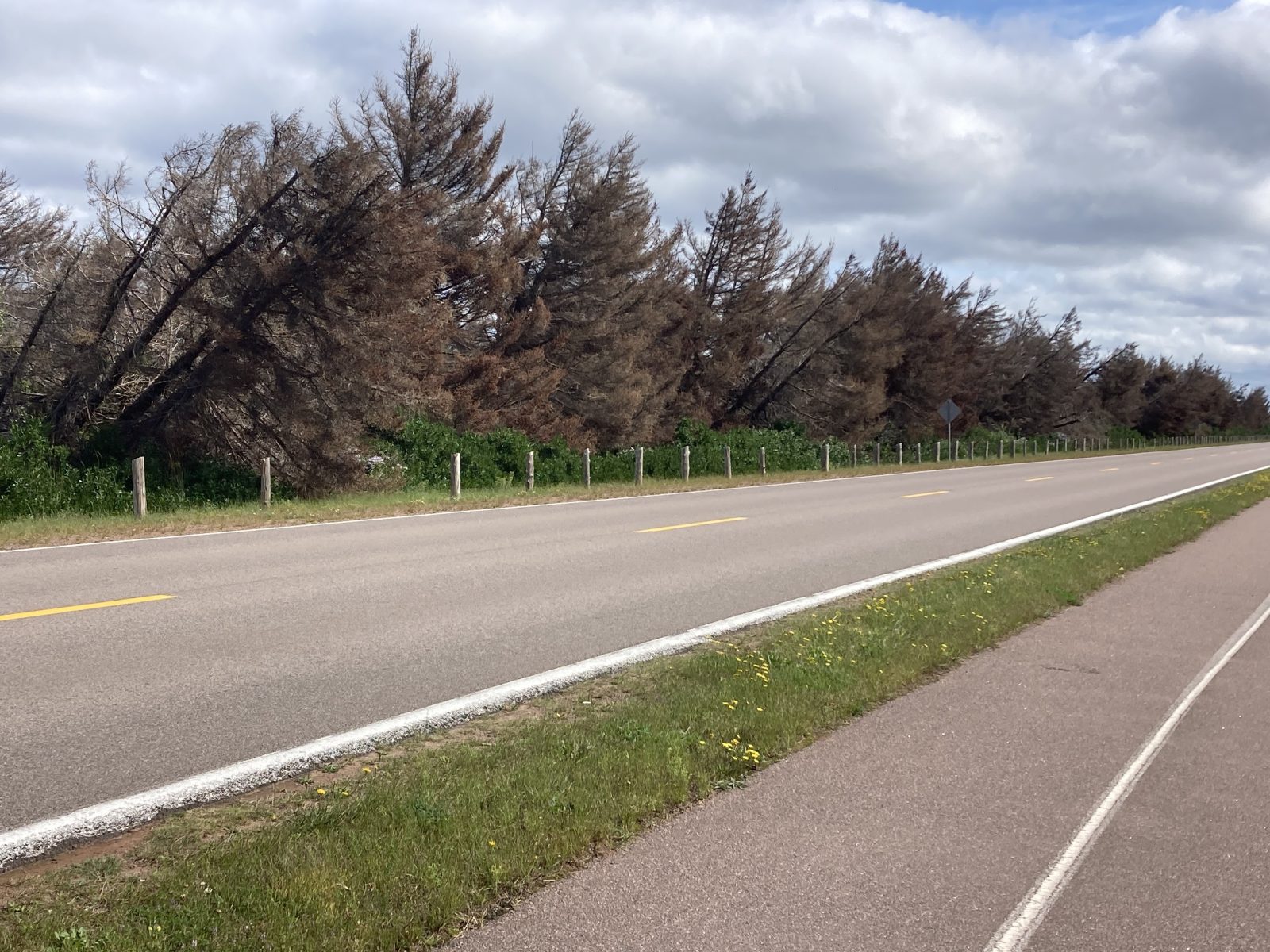
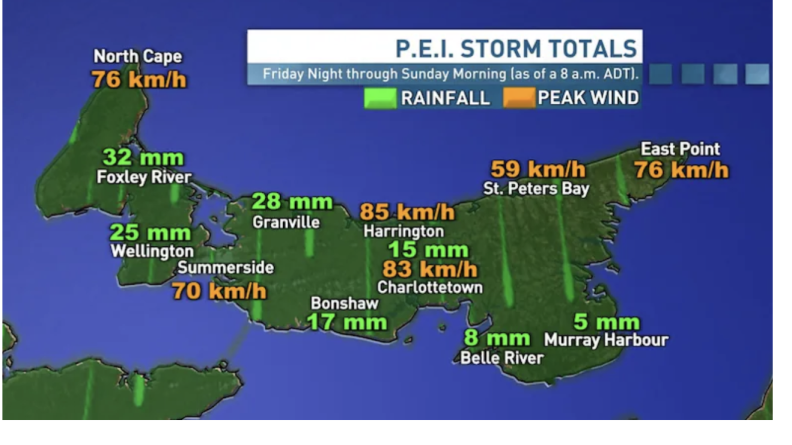
Took a down day, because the wind gusts were still high, up to 40 mph. Plan to walk section 22 tomorrow. The picture shows the wind and rain results of Hurricane Lee, now downgraded to a tropical storm, after it arrive at PEI. My lodging is located at the rightmost (eastern) section.
I wasn’t sure what today would bring in terms of Hurricane Lee. Got an early start with Mickey’s Shuttle Service (Red Sand Tours) who drove me out to the Bakery at Way Mark #19 (CA$ 100 for today and the same for pickup the day before—rather steep, but it was a bad choice of B&B that was the cause!).
So I started the day with a cinnamon roll in my backpack and with my poncho on and a slight drizzle.
The drizzle soon stopped. By midway of the walk, I realized it wasn’t going to rain any more, so I shedded my poncho, but then wind speeds picked up to 13 to 30 mph, with gusts up to 48 mph. Those strong gusts finally made me cut the walk short by a mile. Each strong gust made me stop just to keep my balance. I still managed to cover 16.7 mi (26.7 km).
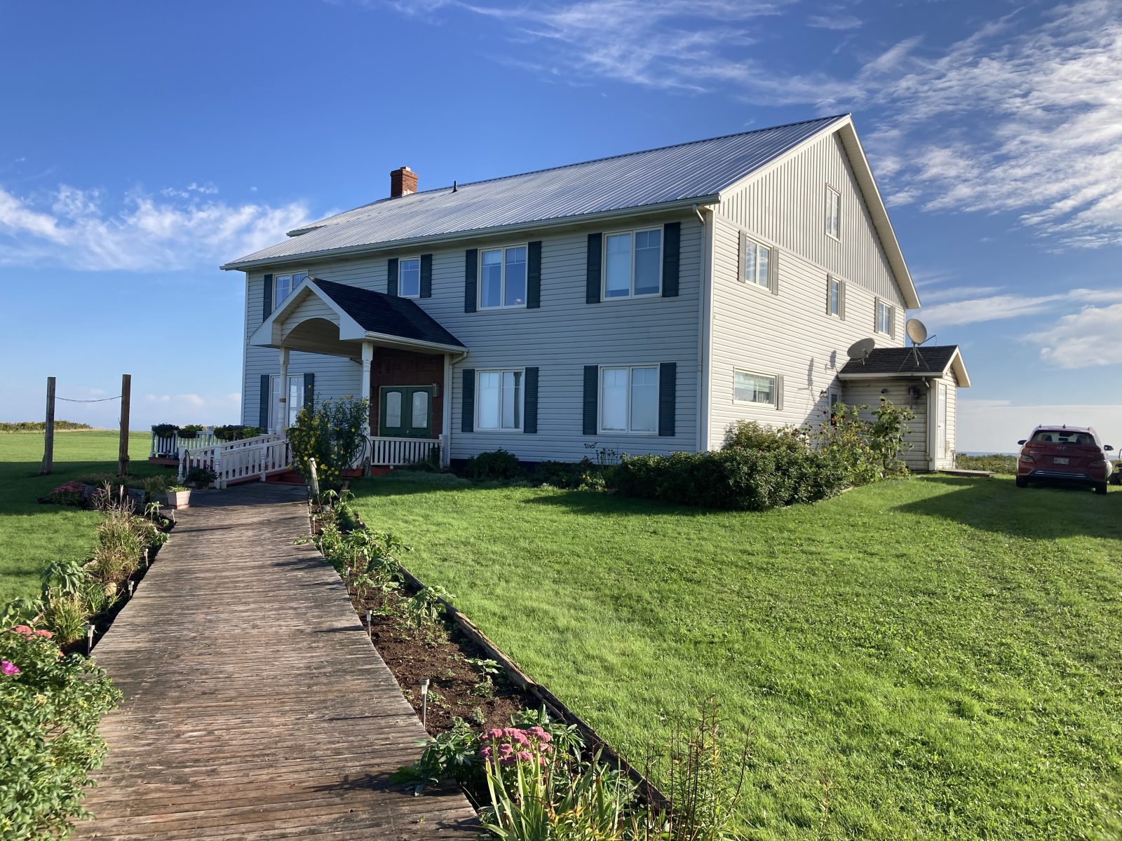
The Johnson Shore Inn is very isolated, but all services are provided—great dinner so far and about 8 others here with me.
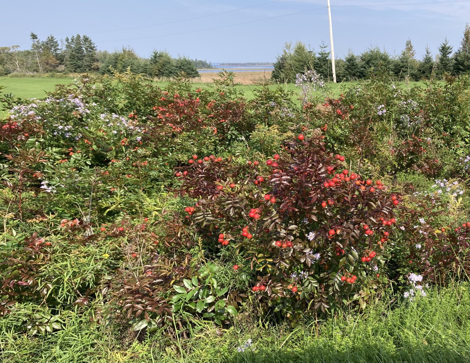
Here are some colorful, interesting sights.
I was able to get my breakfast early (before 8:00). Red Sand Tours shuttled me to the start of today’s walk that began with 5.6 miles on country road shoulders, after which I veered onto the Confederation Trail for the remaining 8.7 miles; total was 14.3 mi (22.9 km). The change was very welcome in that I could count on seating and places for breaks with certain regularity (not possible on roads).
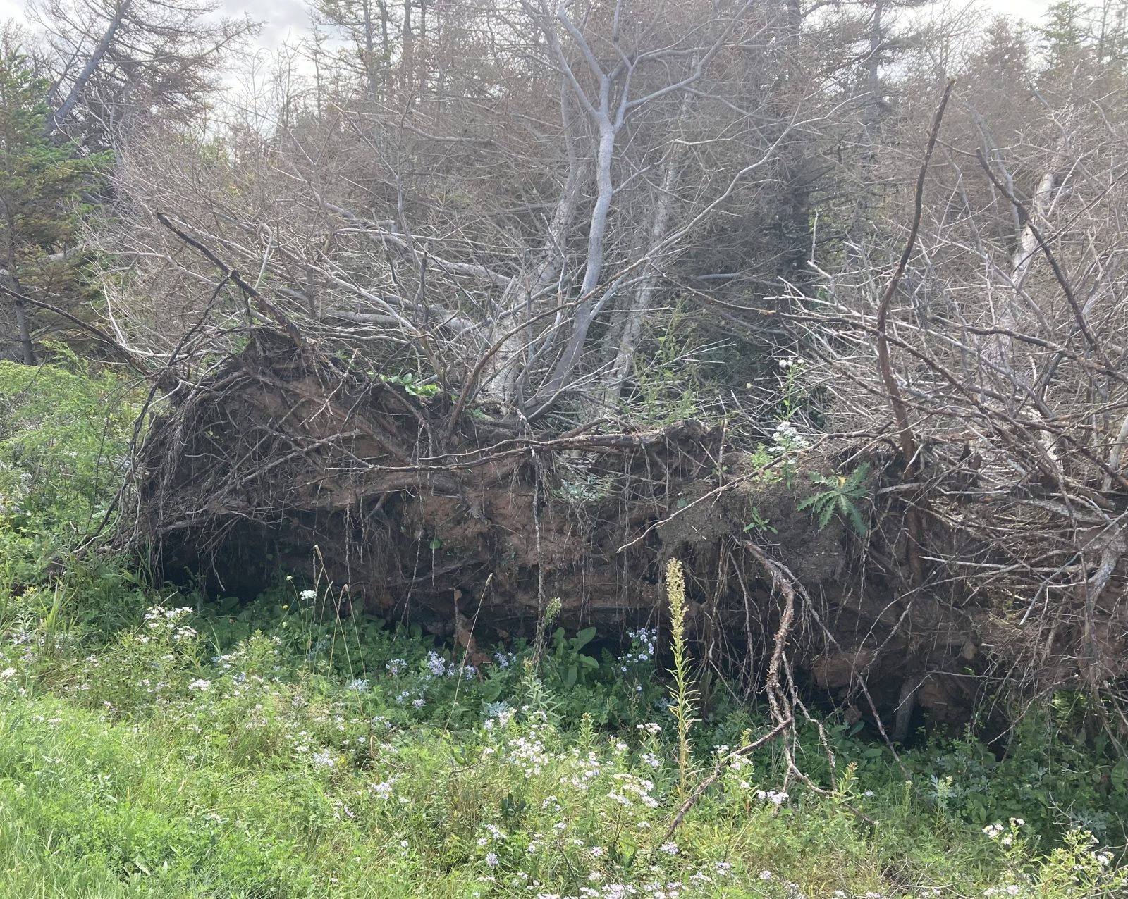
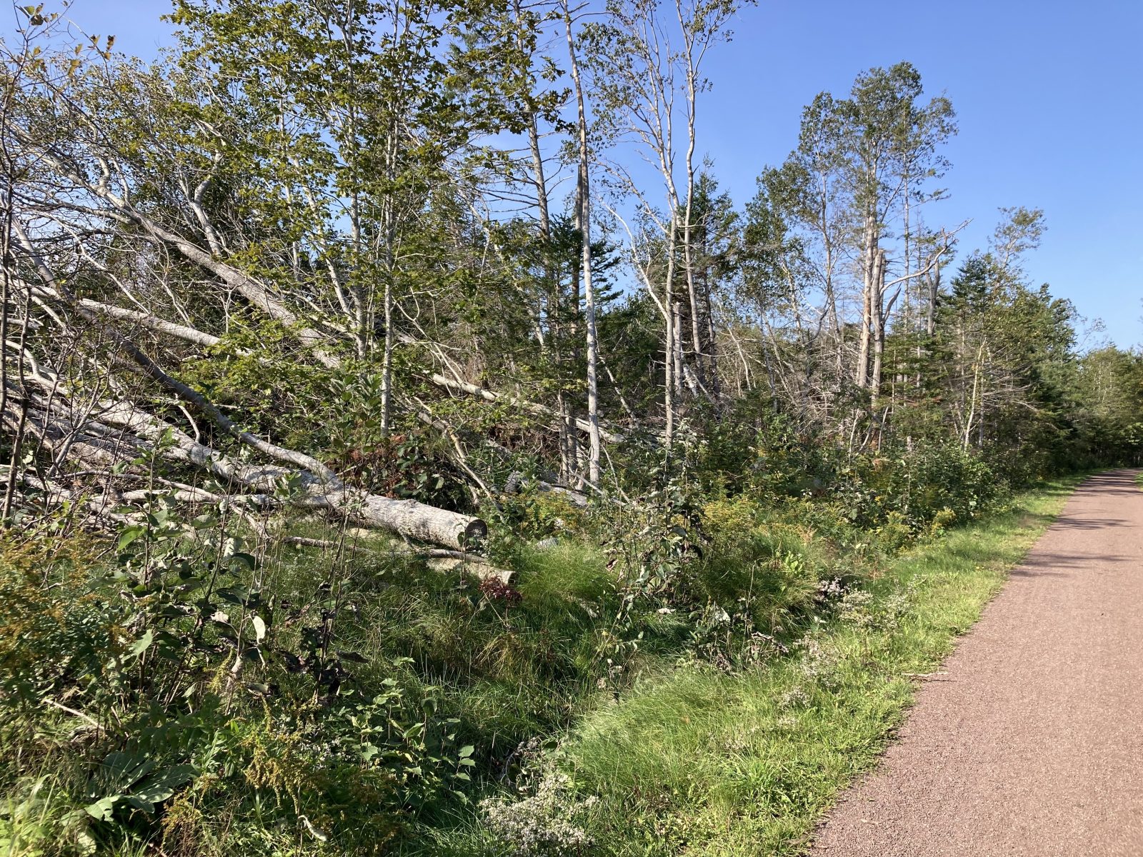
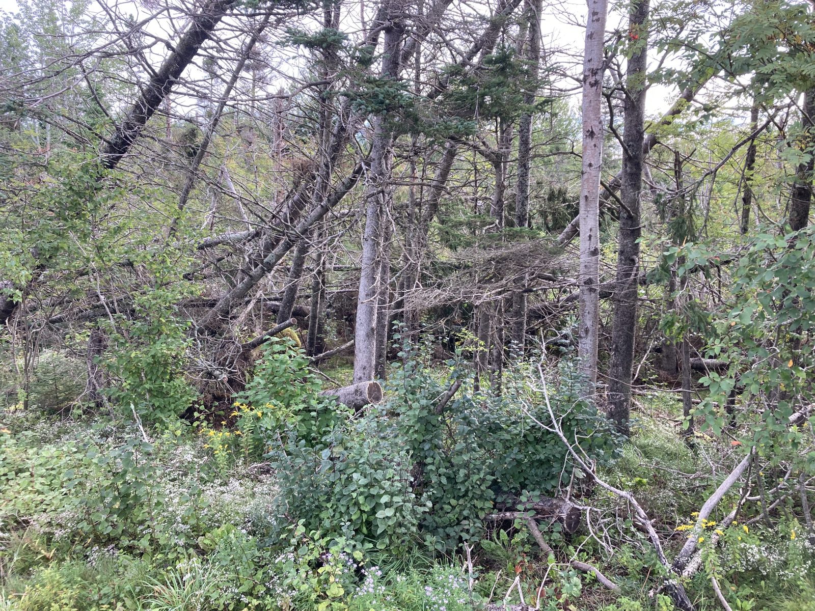
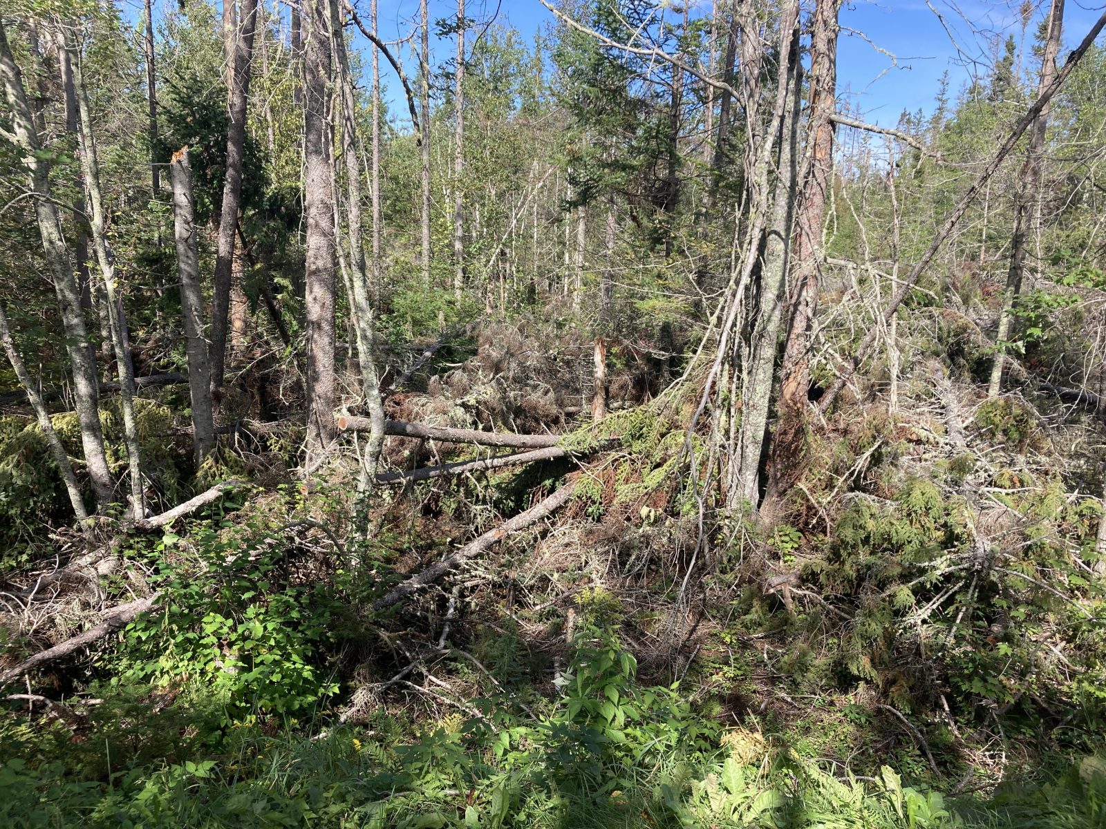
Anticipating Hurricane Lee to hit PEI tomorrow evening, I was most impressed by the visible damage caused by last year’s hurricane. Over a million trees were uprooted on the Island. They tell me that the cleanup effort was massive!
On the way, I spotted numerous soy bean fields ready to be harvested—they‘re the plants with the yellow leaves on top. Most of the potatoes have already been harvested, but not all—farmers are hurrying to finish their harvest before the heavy rains.
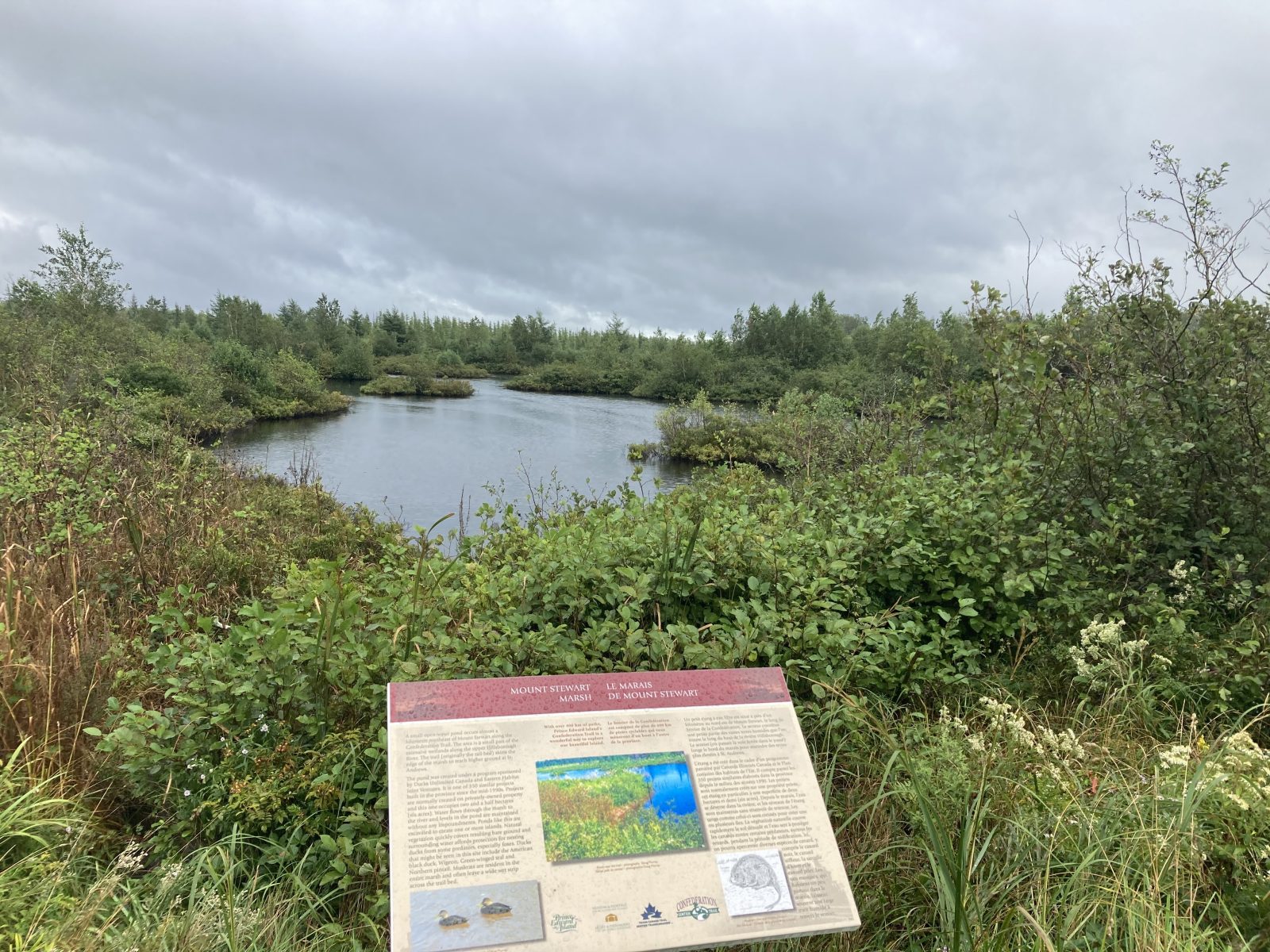
Doreen’s husband Bill (Briarton’s B&B) graciously shuttled me back to Cymbria, Way Marker #17 and I proceeded to cover 13.6 mi up to Brakley Bay where PEI’s National Park hugs the ocean for nearly 8 miles along the Gulf Shore Parkway. The coastal dunes, however, prevents one from seeing the ocean or the beach, except for a few spots where one can go off trail 50 or so meters.
The promised rain finally materialized the last few hours of the walk, and it really poured the final half hour waiting for my shuttle service—the van came as promised, and will bring me back tomorrow morning.
I checked into the Barachois Inn, and soon discovered that there was no dinner available. The daughter, however, made me a sandwich, but I’ll have to be prepared for tomorrow.
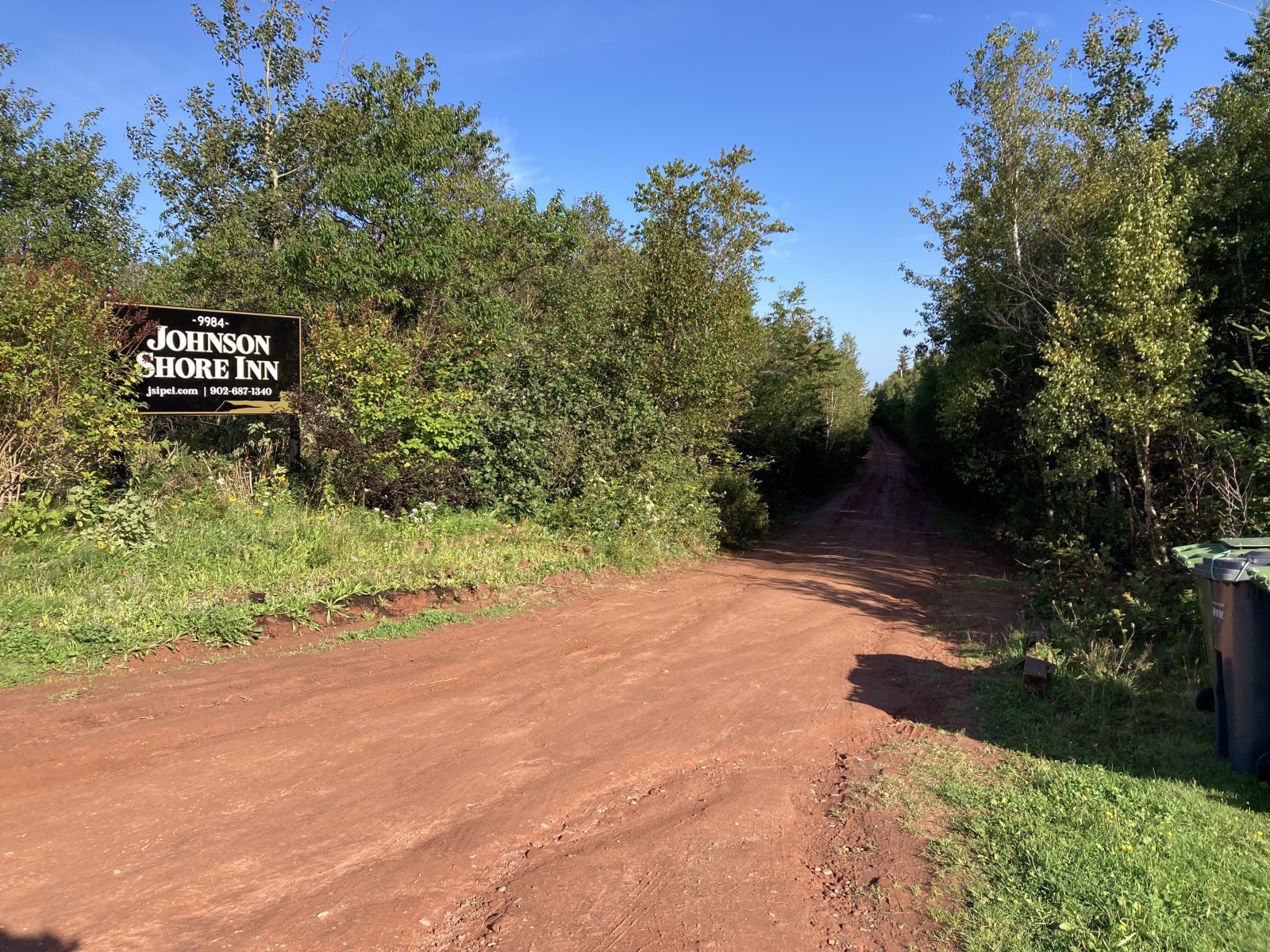
Am monitoring Hurricane Lee, and it doesn’t look as ferocious as originally thought. Note pics from last hurricane of uprooted trees. It’ll hit PEI Friday night and I will walk Saturday morning to Way Marker #20 from where the Johnson Shore Inn will pick me up, check me in for 4 nights and feed me on site—it’s very isolated, but has great reviews (all is now confirmed).
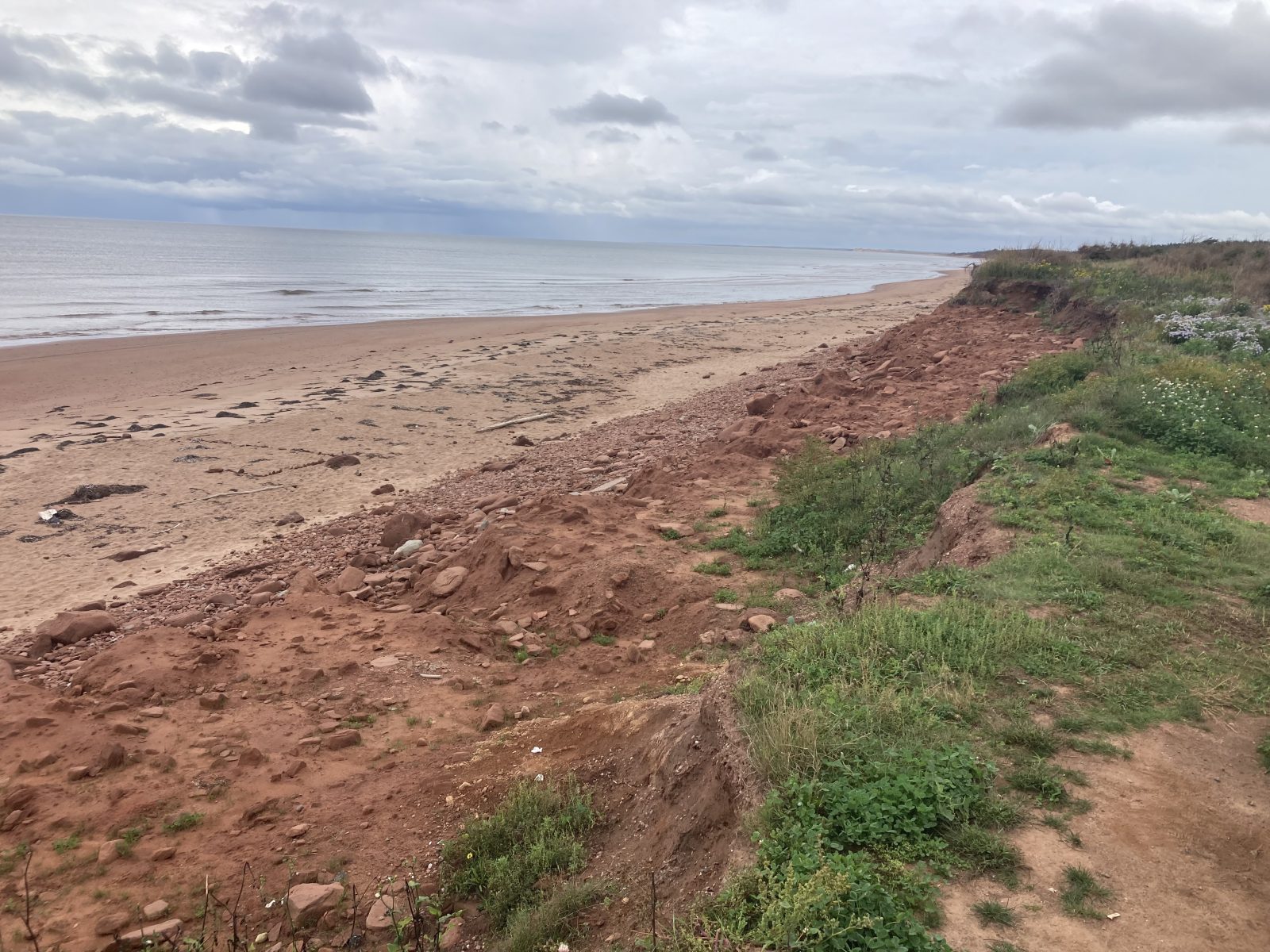
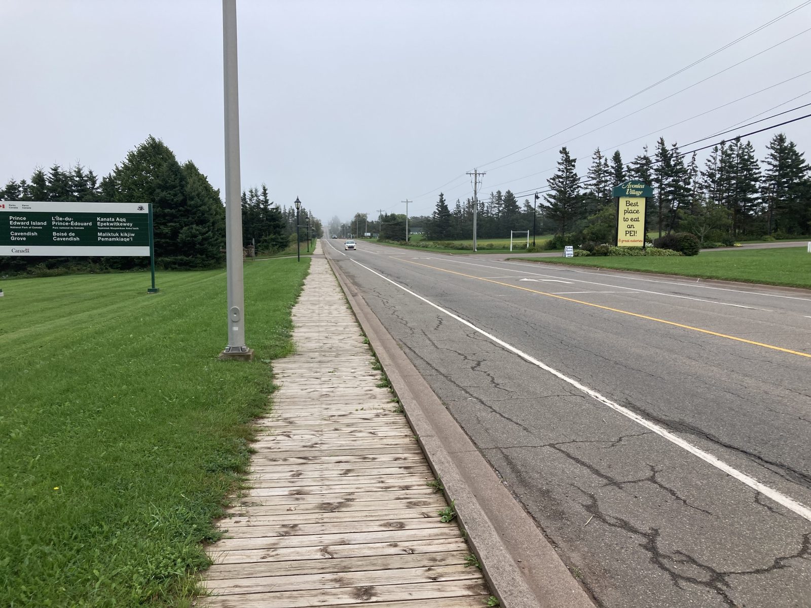
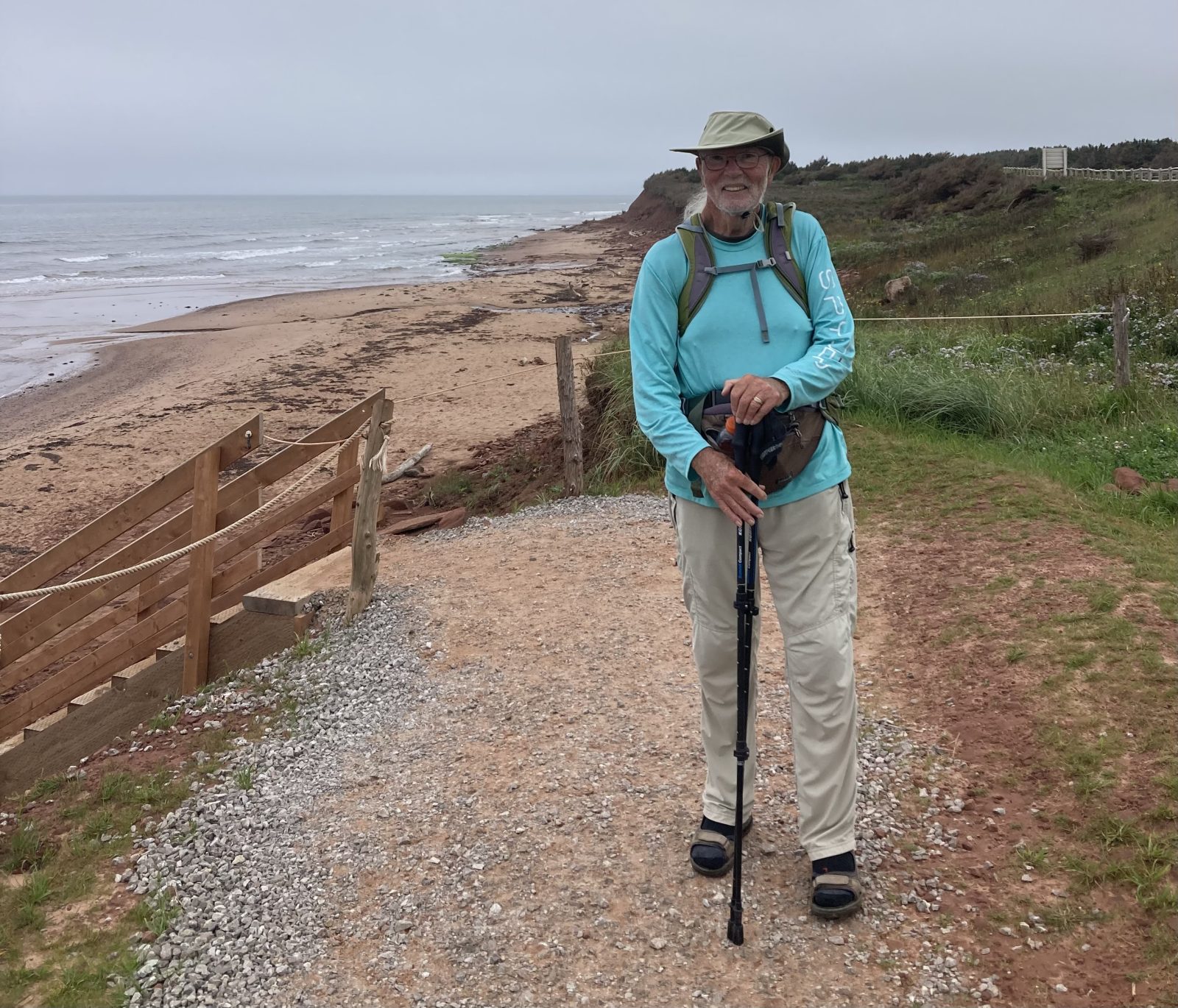
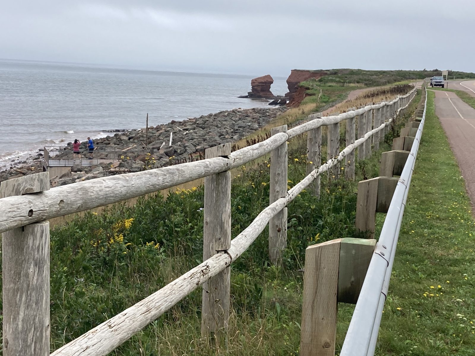
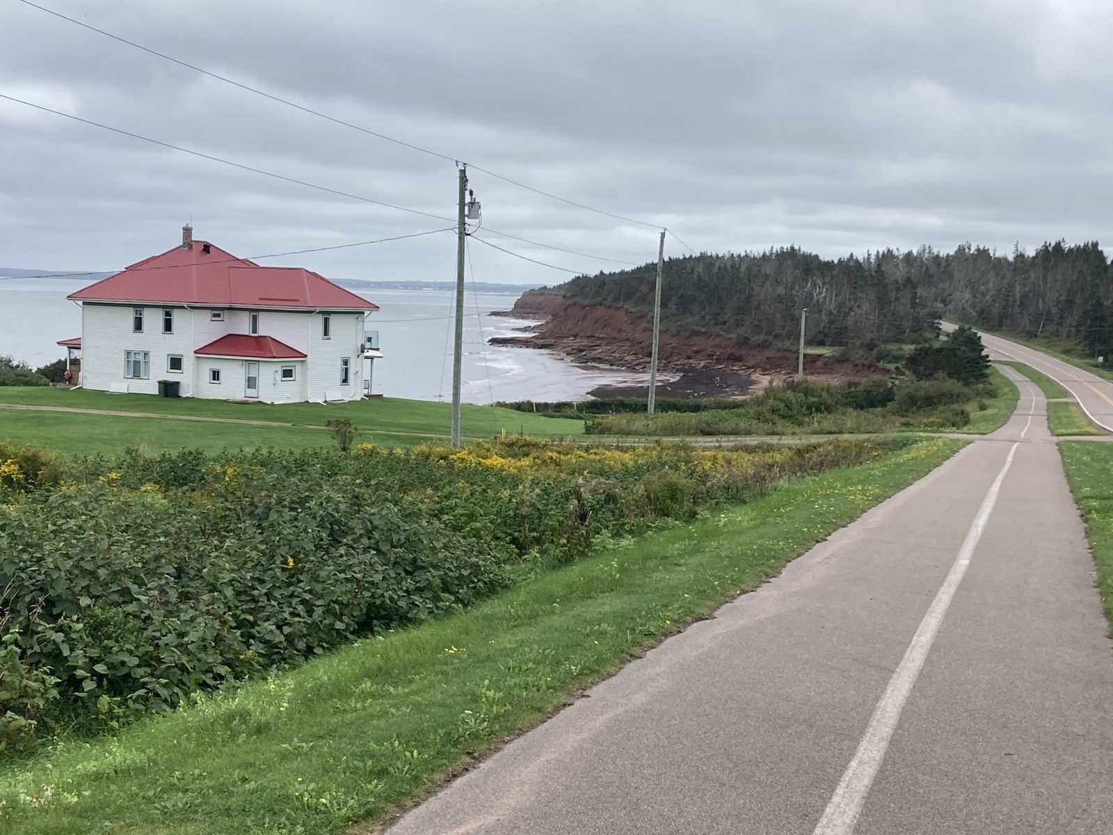
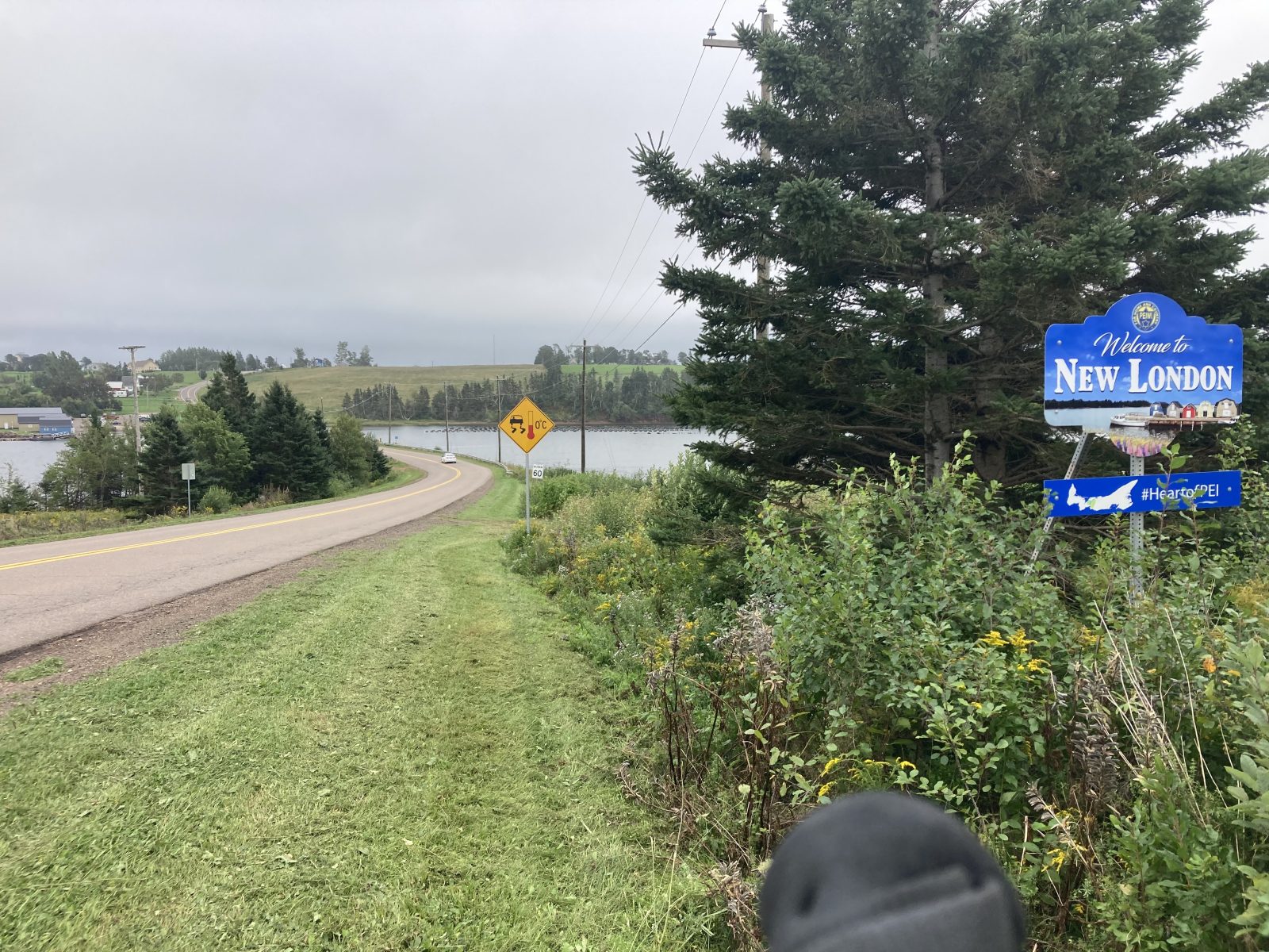
Doreen shuttled me to Bayview (#16). This day was one of the most amazing ones in terms of ocean shore landscapes—not as rugged as some folks expect, but the reddish beaches add an unusual mystique I’m not used to seeing. The boardwalk (in lieu of a sidewalk) through Cavendish was special—it’s known as a resort area and for the cultural sites of Prince Edward Island National Park.
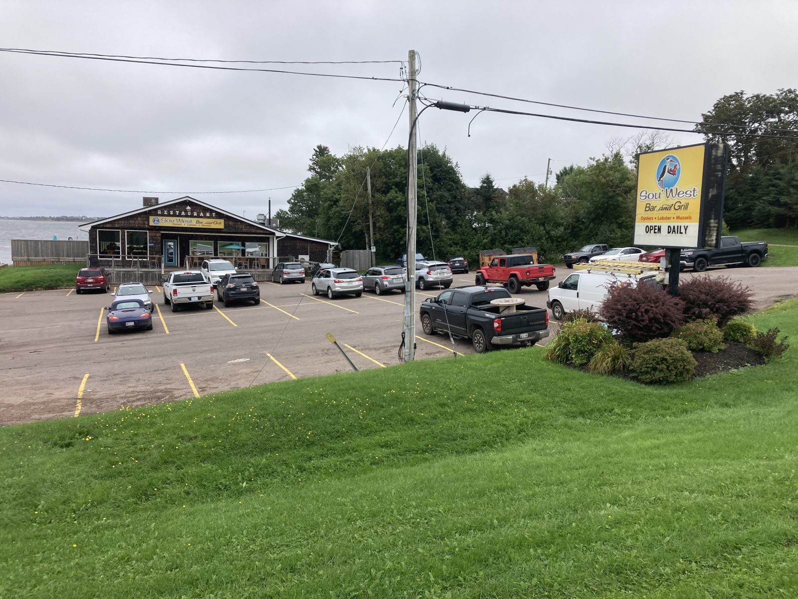
After relishing the Park’s beach areas (along with other tourists, cyclists, walkers and joggers), I arrived at North Rustico, a quaint fishing village that apparently also draws numerous tourists. I was successfully shuttled back, showered, had all my laundry done (so sweet of Doreen), and went out to Kensington’s highly recommended Stonepub for a lobster/ crab roll—I’m hooked. This walk is turning me into a lobster snob! It’s a Pavlovian thing: walk 15 miles/get lobster!
Tomorrow will test the transportation services that I need to use to get from the end point to my lodging that I went beyond today.
My 14.6 miles (23.4 km) started out on the Confederation Trail this morning for less than an hour, but it paid me back by making me miss my turn off of it. So I lost a total of about 2 km due to backtracking.
The day was full of surprises: drizzle that wasn’t forecast along with gusts of headwinds, lots of interesting turns in the country roads, a couple of respectably steep hills, and a luncheon place with irresistible seafood chowder. So I didn’t quite make my goal today—I fell a few miles short, but I’m happy with having reached my midway of the Island Walk at 193.3 mi/309.3 km.
As the Confederation Trail passed through Kensington (where I‘m staying), there’s a little section of rail that was left with shops on both sides, giving it the look of the “old days.”
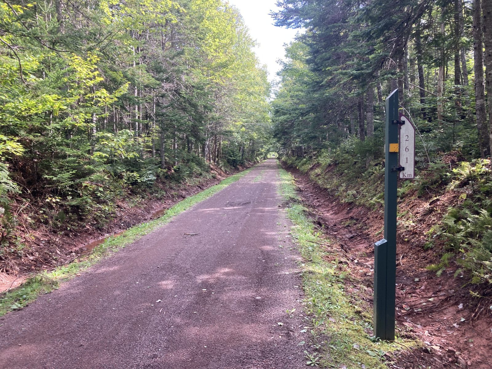
The trail went through the countryside over rolling hills, a definite welcome departure from the all-flat.
Today’s walk was an amalgam of half local walk on Summerside’s Boardwalk and half on the Confederation Trail directly from Summerside to Kensington’s B&B. I replaced the portion from Lady Slipper (where I left off yesterday) to Summerside with the local boardwalk (5.4 mi)—much more interesting! In all I walked 13.3 mi (21.3 km).
Today’s Confederation Trail from Summerside on did not disappoint with mosquitoes—they were out in force, nor did it disappoint with its straightness. It really only drizzled during the morning, and not at all this afternoon. And more is predicted for early morning. Doreen, the B&B owner here in Kensington drove me to a restaurant for dinner where I enjoyed the best yet lobster roll (minimally bready along with potato salad)—so scrumptious.
Tomorrow I reach my midway mark (#16–Bayview)—the Island Walk is going by very fast, although each day passes very slowly!