California Mission Trail 2012
Orcutt to Mission La Purisima
I started today's journey riding the bus some 30 minutes along with students going to their schools that seemed a long way from their home. We headed south from Santa Maria to Orcutt. On the trail, it was a gentle climb until I found myself on the legendary Harris Grade Road which, in fact, used to be the old PCH--Route 1. It connects the Los Alamos Valley with the Lompoc Valley and is so dangerous in terms of sharp and blind curves and numerous switchbacks, that Santa Barbara County voted in 2010 to ban all semis / trucks longer than 30 feet. To avoid the blind curves, I had to switch sides of the road numerous times.
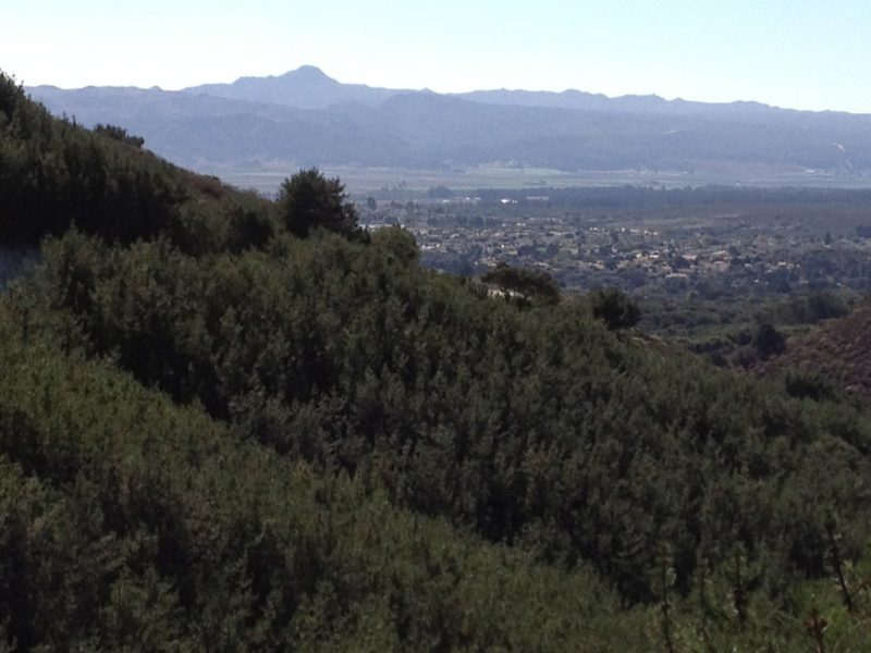
The pluses of the Harris Grade Road are stunning panoramic views of Lompoc valley, passing through a 100-year old oil field, and seeing rare Bishop pines who release their seeds only during a forest fire!
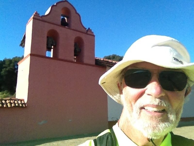
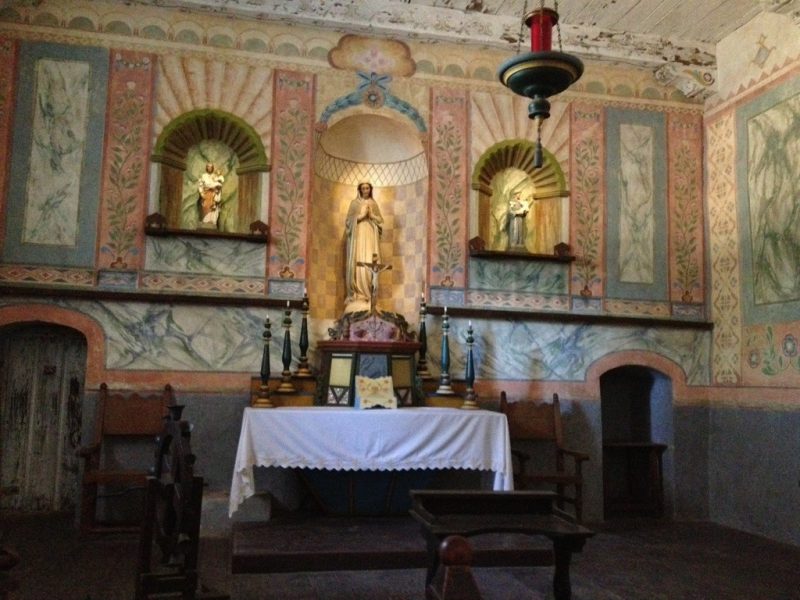
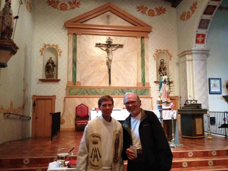
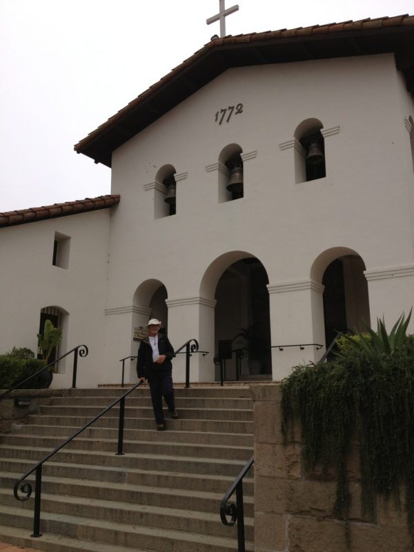
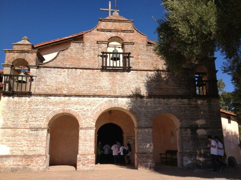
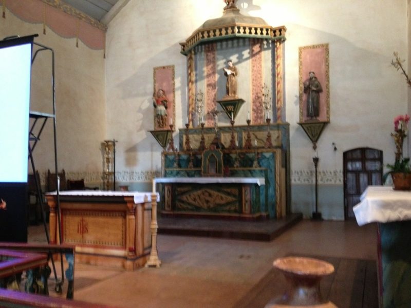
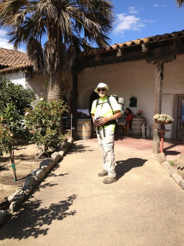
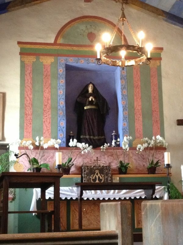
Arriving at Mission La Purisima, I was reminded that the California State Parks manages this mission, the only other one being my first one, Mission Solano. It was the 11th mission founded (Dec 8, 1787 by Padre Lasuen). See the enclosed pics.
Guadalupe to Orcutt
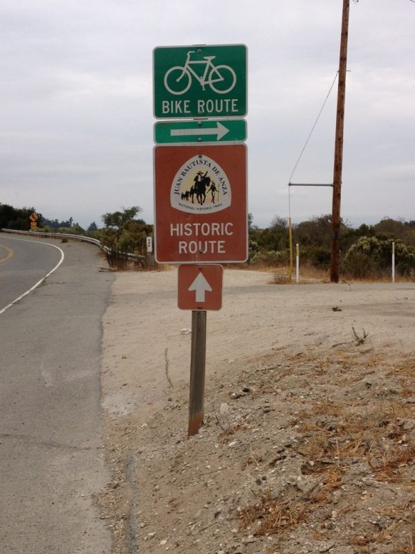
Today's 12.5 mi followed more of the Juan Bautista de Anza Trail paralleling the Santa Lucia mountains, which by now are more properly "hills." A huge breakfast, a short walk, a half of a backpack (the other half staid at the motel), and a praline malt at Orcutt's Doc Burnstein's Ice Cream Lab made for a hugely successful day. I am ready to bus down to Orcutt in the morning and walk the 22+ miles to my 13th mission, La Purissima.
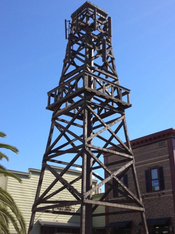
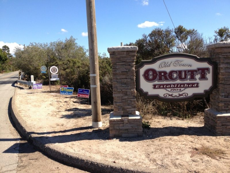
Old town Orcutt was the highlight of the day, starting with the faux water tower to house cell-phone antennas--mighty clever, as they said in the old days (check out the pic). The town is trying to project that 1904 flavor when it was established. It was named after the Union Oil Company "dean of petroleum geologist" William Warren Orcutt who BTW discovered fossils in the La Brea Tar Pits! The town was founded as a boom town riding the success of the oil production going on in the early 1900s. Orcutt was assigned to survey the area; his findings urged Union Oil to be aggressive which in turn led to huge successes.
Oceano to Guadalupe
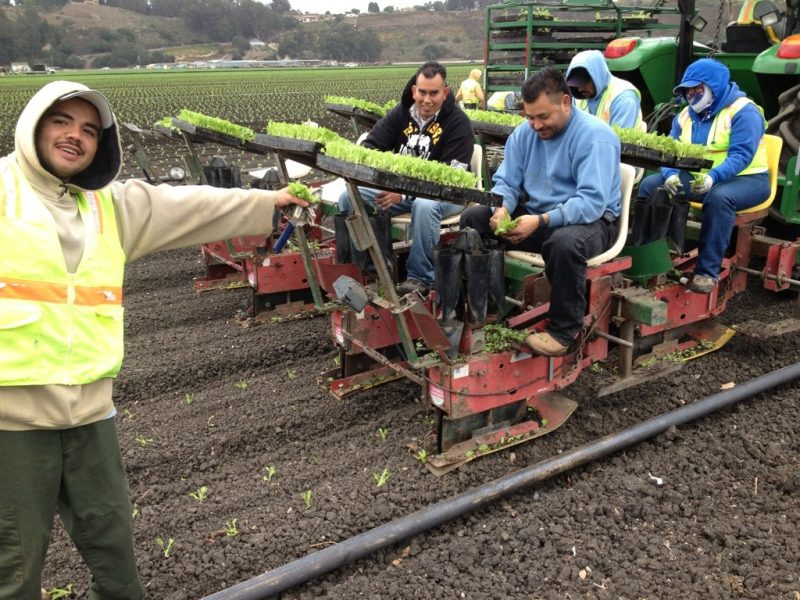
Today's 13.3 mi. was 7.5 less than I expected--what a pleasant surprise, despite the intermittent light drizzle throughout the day! Coming out of Oceano, I gazed at the familiar vegetable fields, and couldn't resist capturing a shot of the team planting lettuce seedlings by machine. It's still a person-in-the-loop operation, but much more automated than doing it entirely by hand.
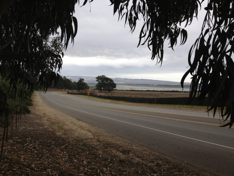
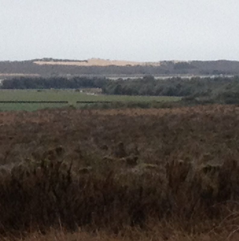
Something else that struck me as I walked the Juan Bautista de Anza Trail was that when he brought his settlers north there wasn't a single of the now ubiquitous eucalyptus trees to "greet" him. So many of my rest stops are under the shade of these tall trees. Note the picture through the eucalyptus branches where you can see an "ocean" of plastic-covered fields recently planted with strawberries. The other big attractions are the dunes off in the distance to the west. The photo doesn't do justice to their imposing expanse.
From Guadalupe I took the Flyer Bus east to Santa Maria and took a room for two nights. I'm staying in the county court house/police station area--the 2005 Michael Jackson trial comes to mind as the BIG event here 7 hears ago.
Tomorrow I'll take the bus back to Guadalupe, walk the short 10 or 12 miles to Orcutt, and take the bus north to here.
Mission San Luis Obispo to Oceano
After saying goodbye to my sweetie this morning, I had a nervous feeling about the day. Could I make a nearly 16-mile day with full backpack and no safety net that she provided yesterday? My doubts weighed on me during the entire walk. Well, I did make it and am resting in the comforts of the Oceano Inn--I forewent the Oceano Campground experience tonight. The rest of the trip should proceed with greater confidence!
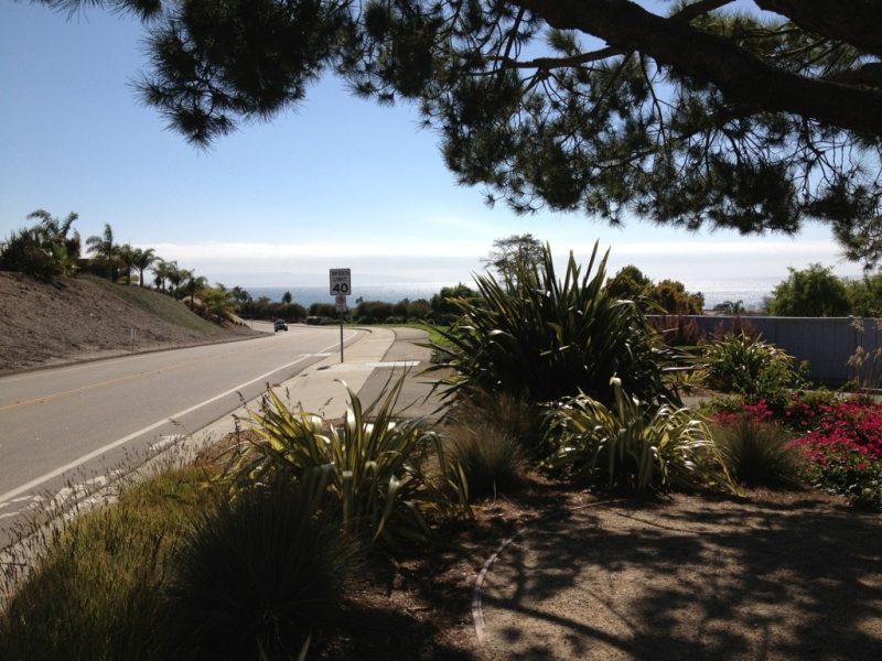
The slow climb out of the valley wherein San Luis Obispo is nestled ended after about nine miles at the crest of the Pismo Beach Mountains. The rewards of the climb were breathtaking views of the ocean--I'm only posting my first view. There were so many while walking a good many miles on Shell Beach Road: steep cliffs to sandy beaches and special treats are the sea stacks (hunks of rock jutting out of beach areas with erosion having removed all the material around it).
Santa Margarita to San Luis Obispo
Can't convey how elated I was for these three events: my sweetie surprised me at the hospital at 6:30 this morning; the hospital discharged me late morning, and I backtracked and completed the Cuesta Grade (11 miles; 1200 ft ascent, but 1900 descent). It tired me more than usual but the pure joy of finishing it overcame the tiredness.
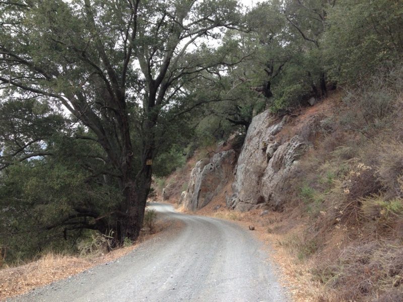
Check out the picture on the Cuesta grade--so much picturesque scenery.
The mission was beautiful with a unique aspect being an add-on, if you can imagine, an entire wing nearly as large as the original church. Baptisms and other goings on in the square in front of the mission created buzz.
Atascadero to Santa Margarita
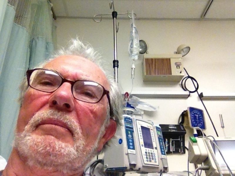
It was a push this morning from the word GO! Bottom line, I couldn't make it--melt down, heat exhaustion, too weak to take another step. A lady gave me a ride to the bus stop in Santa Margarita. From there I took the bus to San Luis Obispo to the Cal Poly Library. Then I mulled it over seriously, and decided to go by bus into town, to the Sierra Vista Regional Medical Center. They've performed all kinds of tests, got my temp down from 102 to 98.6, but will keep me over night for observation. I'm still weak but getting stronger--of course, nothing to eat for 31 hours doesn't help either!
Needless to say, I'm disappointed, but it's not over yet!!!!!
Paso Robles to Atascadero
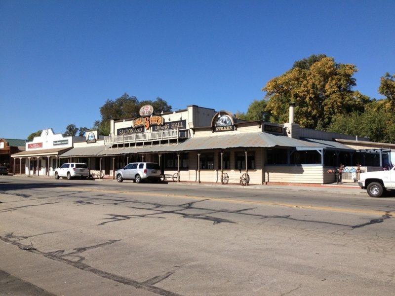
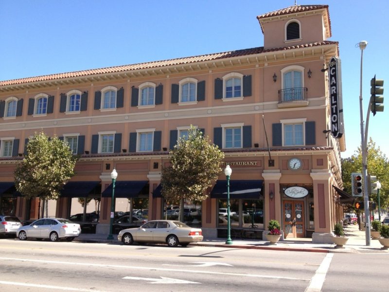
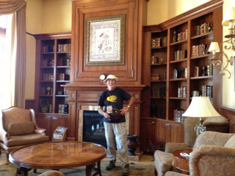
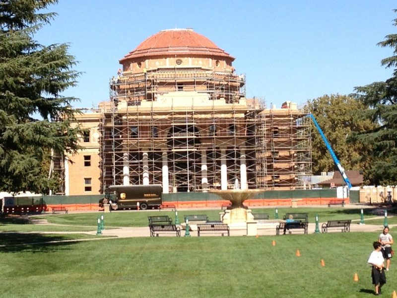
Today's trek opened my eyes to the three neighboring towns of Paso Robles, Templeton, and Atascadero that stretch over the 15.8 miles I walked. Dozens of car trips through this area had relegated these 3 towns to map markers and a place to rest and feast at the Atascadero In-N-Out--it was a convenient half-way stop. What I experienced today was remarkable. These towns have a breadth and depth far beyond my imagination--too little space to properly dignify. Paso Robles, of course, started as a rest stop for weary travelers between the missions, a place to recharge in the thermal baths (my story sans baths). Early settlers saw the value in the land to support cattle ranching, apple and almond orchards, and years later, vineyards. An 1864 spa hotel and the railroad coming in 1886, hugely propelled growth. Crocker (one of the San Francisco's Big Four) was to be the new town to the south, but it was named in honor of his son, Templeton. And Atascadero, has the most unbelievable history, being the brainchild of E.G. Lewis. He conceived it as a utopia for the America Woman's Republic (women's suffrage) while he gained from their subscription promotions for his magazine publishing empire. But after 1916, there's nothing to be found of their activities in Atascadero (the 19th amendment wasn't passed until 1920). Absolutely fascinating. I almost stayed at the historic Carlton Hilton for the night--couldn't wrangle a deal that comes close to my austere "Motel 6" good deals! Check out the picture in their lobby, as well as the one of the Atascadero City Hall (Italian Renaissance). I've also included a picture of a Templeton saloon--the town has a distinct western flavor. As a PS, I tried to invoke a shortcut south of Templeton. But I failed to be able to make the steep river bank (the Paso Robles Creek), so I crossed over on the RR bridge (still saved me several miles).
Mission San Miguel to Paso Robles
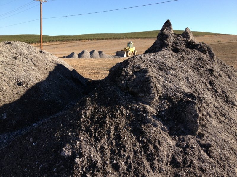
Shortest walk yet: 9.8 miles--feels like a down day. My trek paralleled the 101 to the east as it skirted vineyards and fields of grain. I saw 100s of acres being prepared to grow new vineyards where they hauled in tons of dirt/compost to kickstart Mother Nature in the wine business.
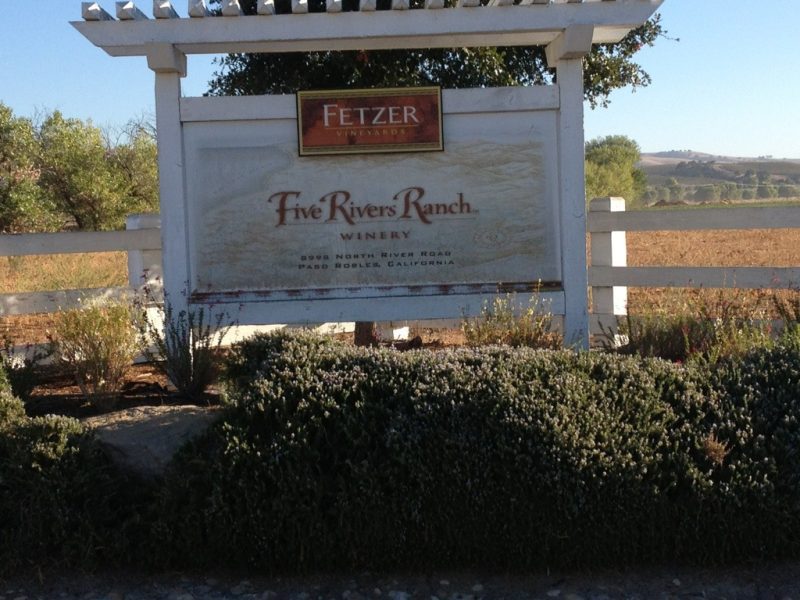
Trucks were busy hauling their harvested grapes and the scarecrow canons were keeping the birds at bay. As I passed the Paso Robles Fetzer winery (their main operation is up north between Ukiah and Healdsburg) it brought to mind that all of that brand was sold in 2011 to the Chilean company, Concha y Toro--a huge transaction. I guess they're still selling wine under the Fetzer brand. The operation here is very high volume!
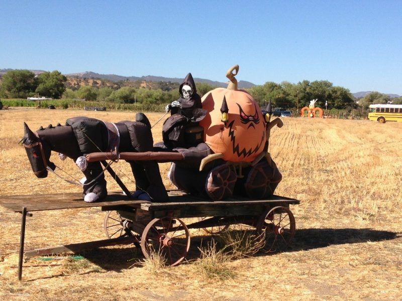
And signs of Halloween are everywhere!
Lake Nacimiento Resort to Mission San Miguel Arcangel
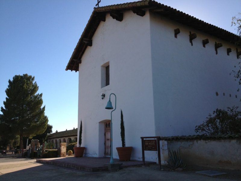
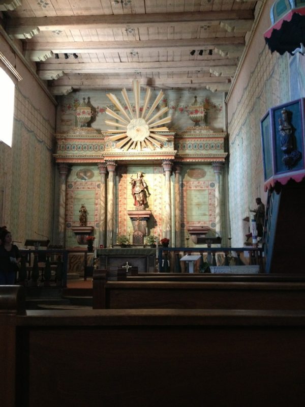
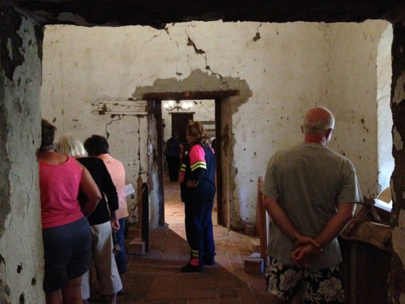
What a difference food makes!!!! Made the 18.3 mile walk plus a one mile ride through a construction zone as well as 2400 ft of climbing in weather that peaked near 90--all without a hitch. I saved a lot of the dinner that Eric and Shandi brought me last night for breakfast and also had coffee that they brought. It was like heaven. I was unstoppable this morning! Wow. The walk again passed over rolling hills spotted with oaks. For the last third, I left the Juan Bautista de Anza Trail and took San Marcos Road east until it ended at the 101--it basically skirts the southern border of Camp Roberts, a Calif. Army National Guard base. A number of wineries greeted me on San Marcos Road reminiscent of the earlier walks days ago. San Miguel Mission was established in 1797 basically to link the missions of San Antonio and San Luis Obispo. The mission church's interior is said to be one of the "best preserved" of all the missions! I visited their very informative museum and took the self-guided tour. The pictures give you some impressions of the mission. The original thick adobe walls are evident as you tour the various rooms.
Lake San Antonio Campsite to Lake Nacimiento Resort
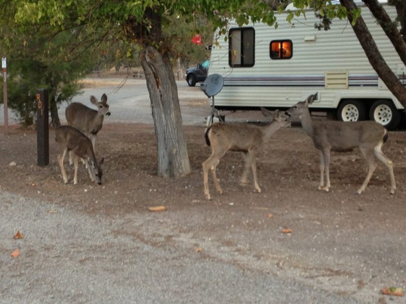
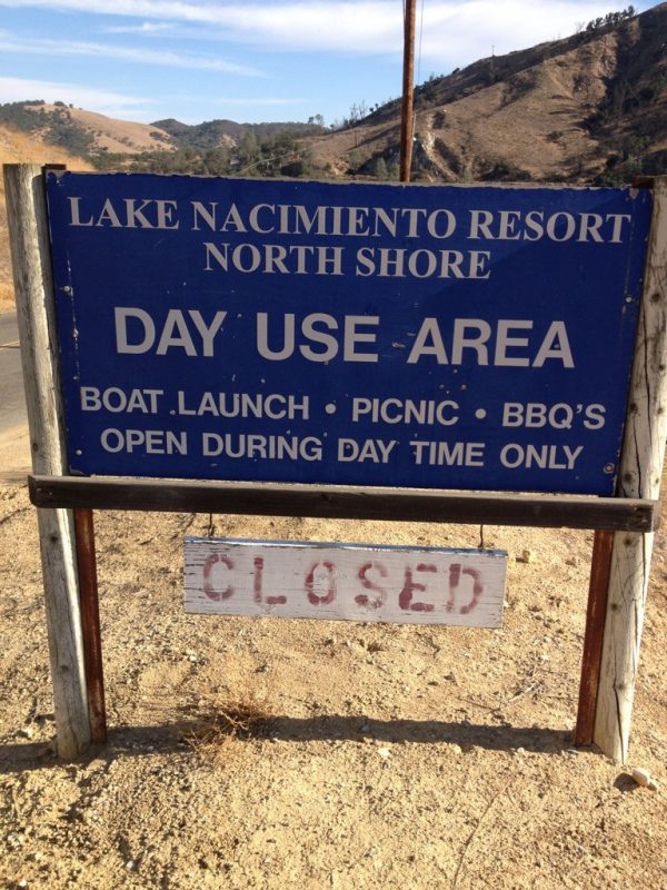
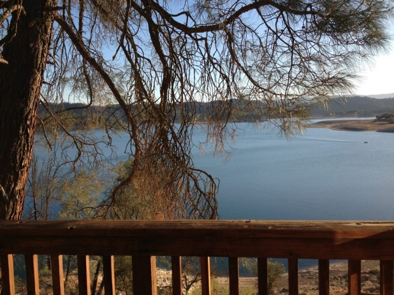
Today was one of highs and lows. Temperature was pushing 90; went up hill 2329 ft (according to my app. Gaia); only had some trail mix to eat since the store I was counting on was closed; and when I reached my destination and I saw the sign: CLOSED, I panicked inside (no food, no stores, no energy, but I did have another quart of water or so). So after regaining my wits, googling, etc. it turned out that the Nacimiento Resort was indeed not closed for the season and was ahead another mile (half of it uphill). HOWEVER, a lady at their store told me on the phone that they closed at 4:30! Needless to say, I didn't make it! Frantic calls at their gate caught someone who agreed work late and to give me a lodge (a real spoiler) and by now, the store and restaurant were closed. But as good fortune would have it, the manager of the restaurant was coming through the gate--not only did he ferry me around, but he and his lady friend fixed me a huge meal and delivered it a half hour later along with 3 quarts of Gatorade and water and power bars and coffee for tomorrow morning. It all nearly overwhelmed me! I'm counting my blessings. Part of the meal will be tomorrow's breakfast and I'll be in good shape for the 90 deg day 18 miles and the 11th mission. These are some favorite pics starting with a wakeup from the campground deer and ending with a shot from my lodge overlooking Lake Nacimiento.
The Bee Rock Store
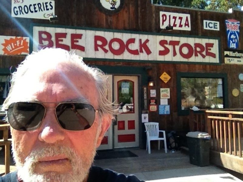
You know how you count on something and then it doesn't materialize--what a disappointment! And so it was with the Bee Rock Store! Here is where I counted on some breakfast, water for the rest of the day, a nice cold drink midway through the trek, and a recharge for my buddy (iPhone). Closed, and in fact going out of business! It wasn't a total bust. I found water and an electric plug! The rest can wait another 4 hours.
Fort Hunter Liggett Campground to San Antonio Lake
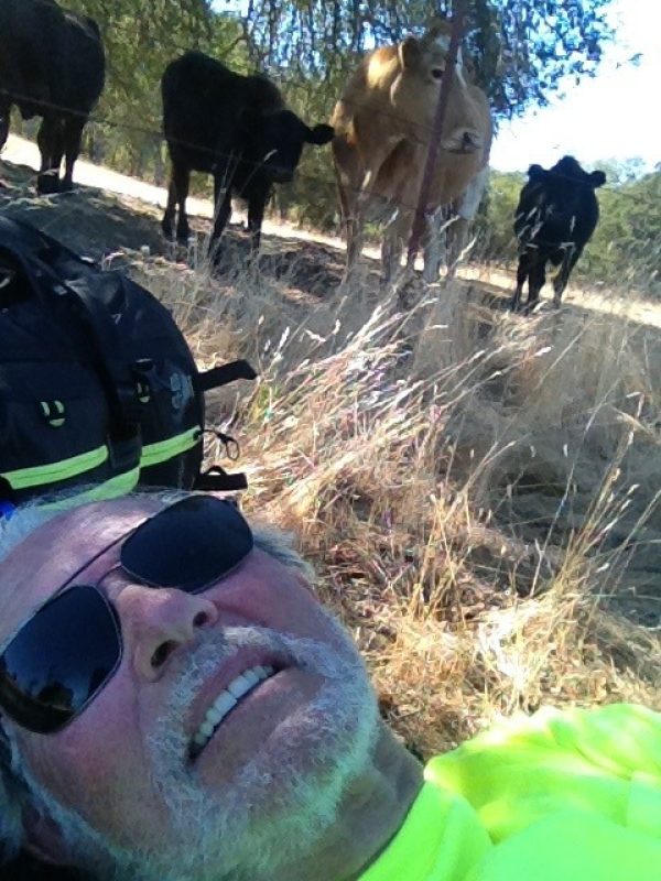
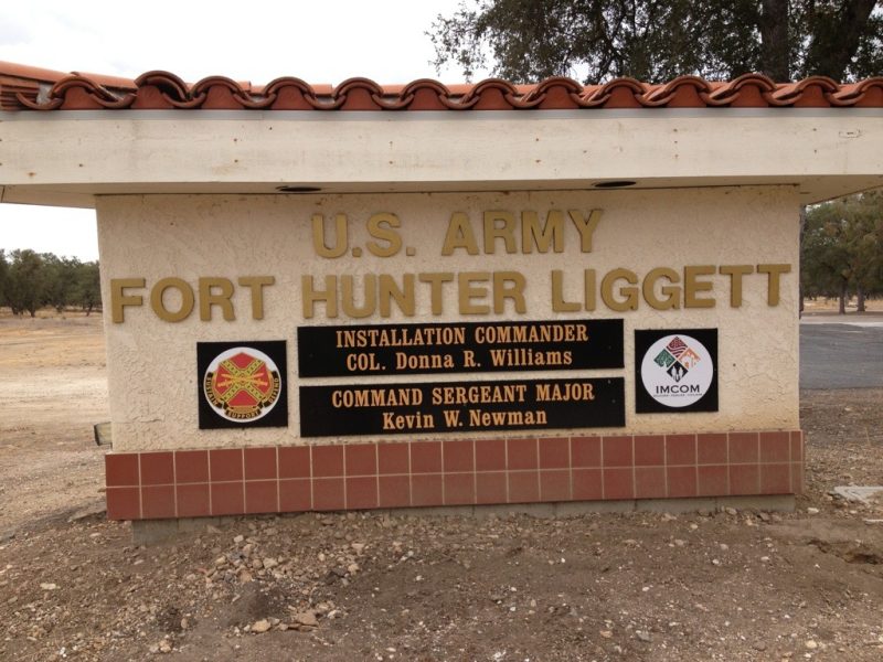
This 23-mile day pushed me to the limit, but I also realized it would be one of the toughest on the route. Most of the day was passing Fort Hunter Liggett itself. The scenery has changed from the agricultural fields and vineyards still around King City to rolling hills of golden grain and majestic old oak trees providing shade for the cattle. I even befriended a bovine family during one of my rest stops--check out the pic.
As I left the camp before sunrise, I heard what sounded like the squealing of wild pigs and dogs who must have cornered them (or something else). Gunshots every where--definitely hunters' haven. FHL campground opens at 5am to issue hunting and fishing licenses!
I couldn't resist asking for a cup of coffee at the Lockwood Fire Station about six miles into the walk. They were extremely friendly giving me a much needed coffee and providing me a cell phone number in case I needed help and wanted to avoid 911. Temperatures were expected to rise--more today--and they wanted to make sure I had lots of water. Muy amiable! A few miles further, I found the Lockwood store and had a breakfast of sorts.
Fort Hunter Liggett Campground to Mission San Antonio and Return
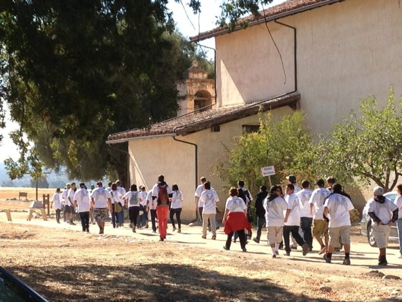
A short under 10- mile round trip brought me to Padre Serra's third California mission. Like the others, I see them all in two unique phases of struggles: pre- and post-secularization (1834). At first, all of them struggled simply to survive and fulfill their mission. After secularization, each has its own path leading them to their status today. In 1928, the Franciscans were invited to take back the mission. And in 1939/40 Hearst, who had preciously bought much of the mission lands as his cattle ranch, sold the land around the mission to the US Army for training our troops for WWII. Then in 1948-52 the mission was reconstructed with support from the Hearst Foundation. What's different here, is that unlike most other missions, there was no town that grew around. That makes for a different evolution. My visit coincided with a 600+ teenage Diocesan Youth Day sponsored by the Monterey Diocese. What a wonderful opportunity to strengthen their faith. The staff was most gracious: they gave me breakfast and let me fill up on water! I'm now set for tomorrow! My last comment: it's said that this is the only mission Father Serra would recognize!
King City to Ft Hunter Liggett
Greenfield to King City
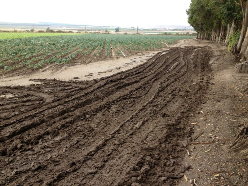
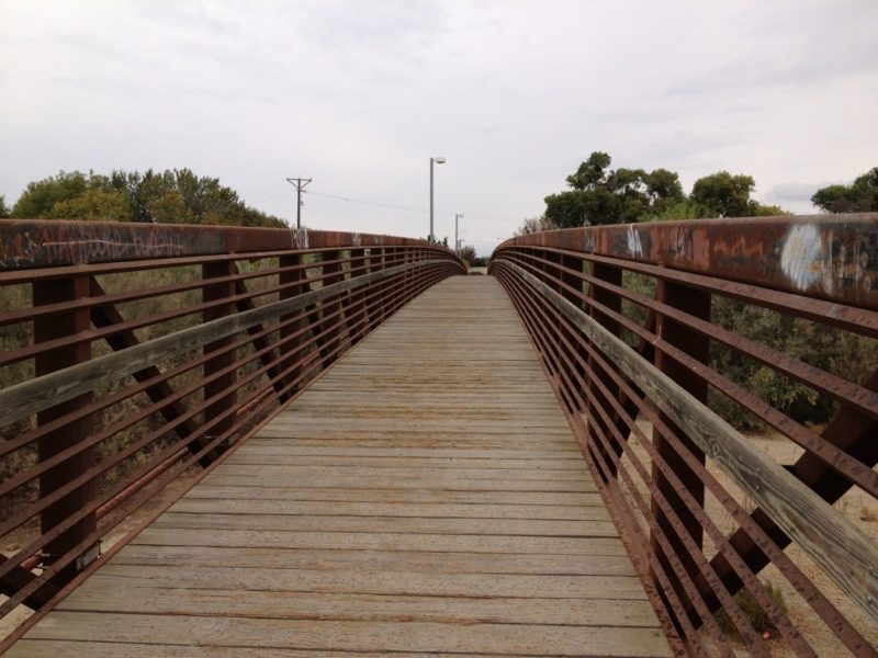
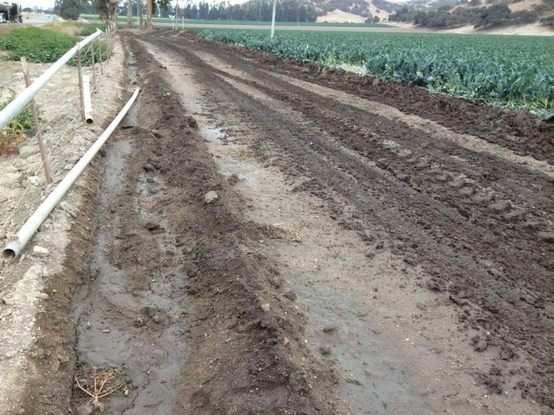
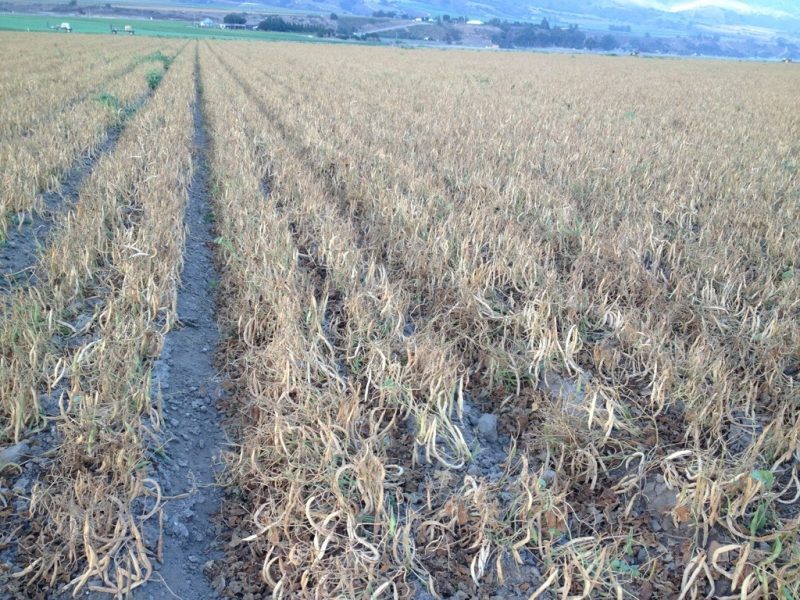
The temptation was overwhelming and I succumbed to staying at a Quality Inn here in King City rather than the planned tent route at the San Lorenzo Camp Ground. What made me do it? After 15.9 miles of light mist all day with my jacket, I was nearing my destination when I struggled to stay off of the King's Highway (101), but suddenly found myself in unbelievable mud from irrigating the fields. My pace fell off a cliff--it took me an hour to go through three sections each maybe 100 yards long. To keep from falling in the mud I used the barbed wire to steady myself--mantra: what a mess! Then I dead ended at a couple of arroyo secos that caused me to detour a half mile each. All this made me succumb to the Quality Inn! Beside which, tomorrow is definitely camp-out night. I have to return to a subject from yesterday: the poor dead beans. Well, it was all meant to be. They weren't green string beans, but rather beans drying in the field a few days--really yummy with sausage, the field hands told me. Most of the day was actually walking through vineyards, but the scarecrow cannons sounded less and less as I approached King City. They were quite regular and loud yesterday--I had grown accustomed to them. Also shown are two pics of the last mile, the bike path over the Salinas River: left at end of bridge to camp ground, right to, well, you know what!
Soledad to Greenfield
With nine missions behind me, my cumulative mileage stands at 345. I can honestly say, "I feel I'm into it."
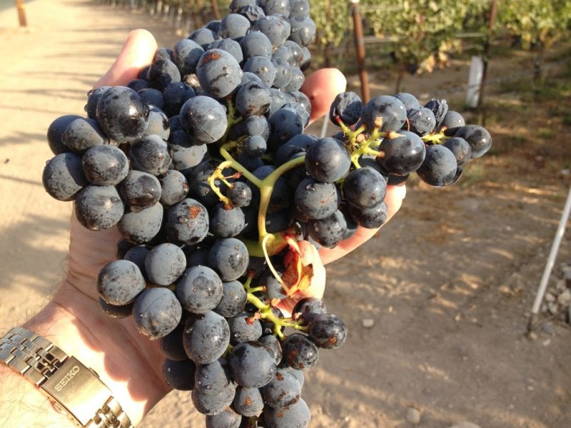
Nearly all of today's 12.3 miles took me through vineyards. A Hahn vineyard irrigation inspector and I had a talk about their grapes. He clipped off a huge bunch of Grenache grapes for me to eat. With a Brix of 24, they were very sweet and had an alcohol potential of 24•0.55=13.1%--a little weak, and maybe that's why they were waiting a few more days. (See the pic.)
The drip systems aimed their precious drops of water within well-calculated reach of the roots. They glistened in the sun's rays as they dropped and I imagined them as part of an open-air symphony. Front-row seat and all at no cost. I just had to appear and agree to appreciate it--oh, did I ever.
Somewhat unsettling, perhaps even unexpected, was field after field of string beans that were dried out. I had no explanation and couldn't find one either. Regardless of the reason, it was proof that all doesn't turn out as planned.
Gonzales to Mission Soledad
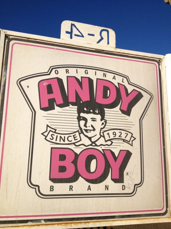
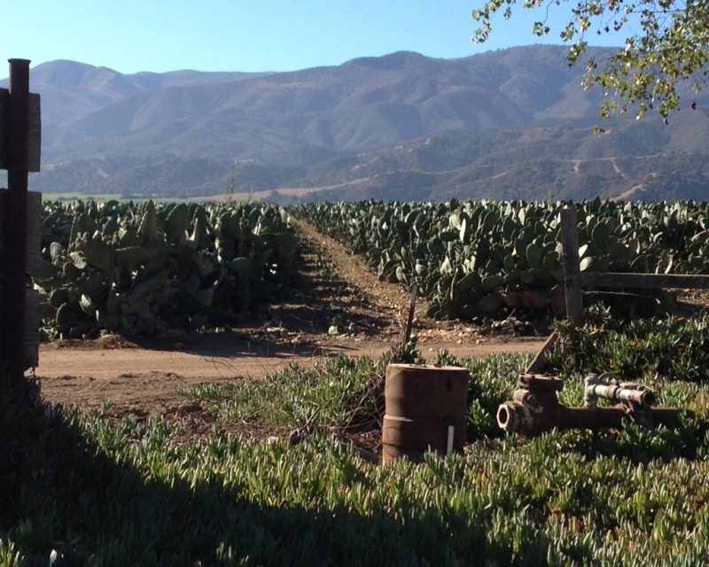
At 12.6 miles, the walk meandered through vineyards where the Santa Lucia mountains are host to some 50 estate wineries. Although some vineyards were in full swing of harvest, others were still waiting a few days on account of their buyers. A name I had come across quite frequently is "Andy Boy," apparently the name associated with one of the largest growers here in the Salinas Valley, the D'Arrigo Bros. Co. Their history is fascinating--well worth one's time. The D'Arrigos have grown the cactus pears for quite some time, and interestingly, a nice volunteer at the mission (Kristen sp?) who gave me a ride from the mission to the motel in Soledad has an interesting connection. Her grandparents are the land owners where the cactus grow--probably hundreds of acres. It was remarkable to see row after row after row of cactus sprouting their prickly pears.
Mission Soledad, 13th to be established by 1791, was staffed by four lovely lady volunteers who knew about Steph, Ron Briery and his book that I've used for my routing, as well as the horsemen ahead of me. See the pics below of the mission and today's highlights.
Salinas to Gonzales
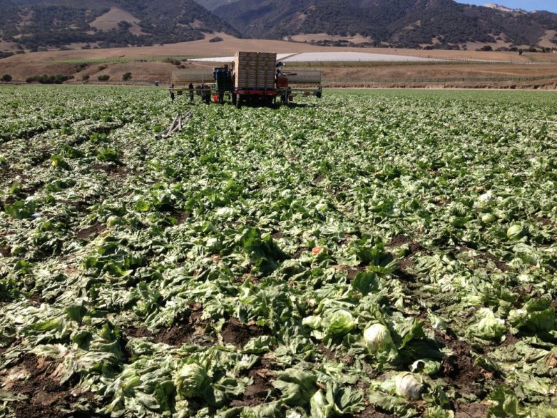
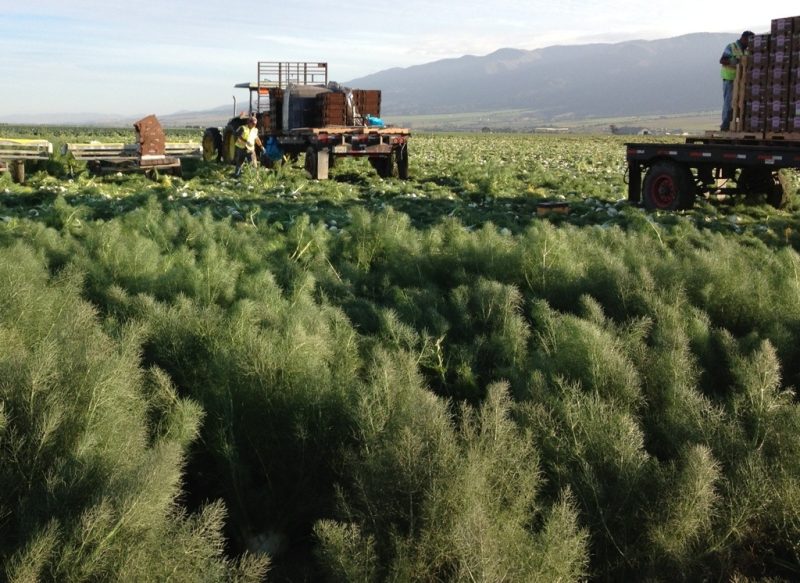
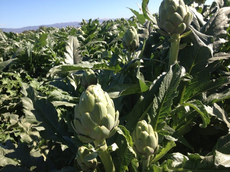
Yesterday's push made today a tolerable 22-miler (vice 28) again on the de Anza Trail through our Salinas farming community. For 9 hours I experienced the hustle and bustle of harvesting operations. I saw up close many fields of broccoli, artichokes, romaine and iceberg lettuce, grapes, string beans, and fennel. In fact, as I entered Gonzales, workers were just getting off from harvesting fennel. They were beat, as I was, and we shared the moment--total empathy with one another, as we gave each other the victory sign.
Couldn't miss the opportunity to rest at Talbott Vineyards with a glass of their Pinot Noir Sleepy Hollow signature wine--exquisite. I just wished I weren't as exhausted--it hit me harder than I wanted, but I was near the end of the day anyway.
Farm labor contracting is apparently central to much of the agricultural operations here in the Salinas valley (as it is in the Oxnard plain). Their biggest cash crop is lettuce, supplying 80% of the US needs--I find that amazing! And so I felt I was watching the beginning of the making of a salad. A few pics capture the agricultural theme of the day (lettuce, artichokes, and fennel).
Mission Carmel back to Salinas
Pushed hard today, 22 miles, mainly to avoid a tent stay at Laguna Seca and to get ahead of the power curve so I wouldn't have to walk 23 to 27 miles tomorrow (next motel is in Gonzales).
Started the day after a good rest at our cousin's, Keith and Catherine's. Keith dropped me off at Mission Carmel at about 8:45am--couldn't resist another peak at the mission. It's really quite beautiful and historically so significant. Then, the next 3 hrs. I spent retracing my steps from the day before. It just works out that way because of the mission's location. Once on Route 68, I was following the Juan Bautista de Anza trail again all the way to Salinas. As I pushed beyond 22 miles, I found myself near the point where my route was turning south--it had already turned dark. My plan was to call a taxi to take me to one of the no-star motels in Salinas, when a fellow offered to drive me into the city to a motel. What an act of kindness!
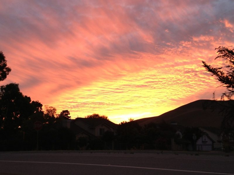
There were many beautiful scenes throughout the day, especially early on, but the one that took my breath away was the sunset behind me! Check it out.
