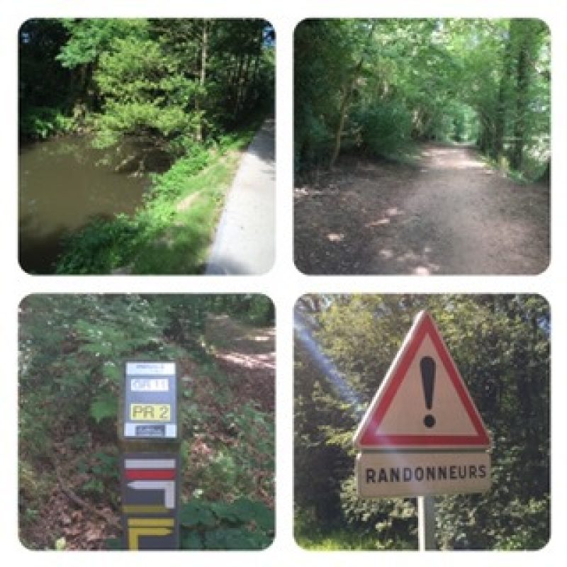
Short blog: Panicky day, and I had to come up with a new route on the fly!
Regular blog: Heat was beginning to show itself, but luckily only low 80's. Thinking I had a 33 km day in the plan, and starting the GR tracks (I'll explain shortly about GRs), I figured to start the day by taking the train for about 9 or 10 km. So I walked for 3+ hrs to do at least 15 km (plus 10 for the train) that would leave me only about 8 km. Instead, Google Maps indicated I still had 24 km to go (making it a 39 km day). Then I added the distances up on the electronic tracks and came up with about 35 km still to walk to my destination hotel. I panicked!
I stopped for lunch to rehydrate and get some food in me, and then think about my problem. The problem, it turns out, is that there are two sources of distances: Google Maps with the "walk selection" and the meta data for each track I downloaded from the GR source site--they're vastly different! The GR, Grande Randonnée, are long-distance walking paths chosen to go through forests, along rivers, etc. The region I'm in is full of GRs. The sum of the segments for today's walk total 55km--I never saw that when I put the plan together. So while I walked some of the GR-655 / GR 11 (with a few pictures), I modified my route, and ended up walking about 34 km (21 mi). I will need to make adjustments where I have GRs.

