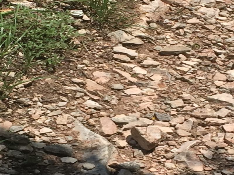
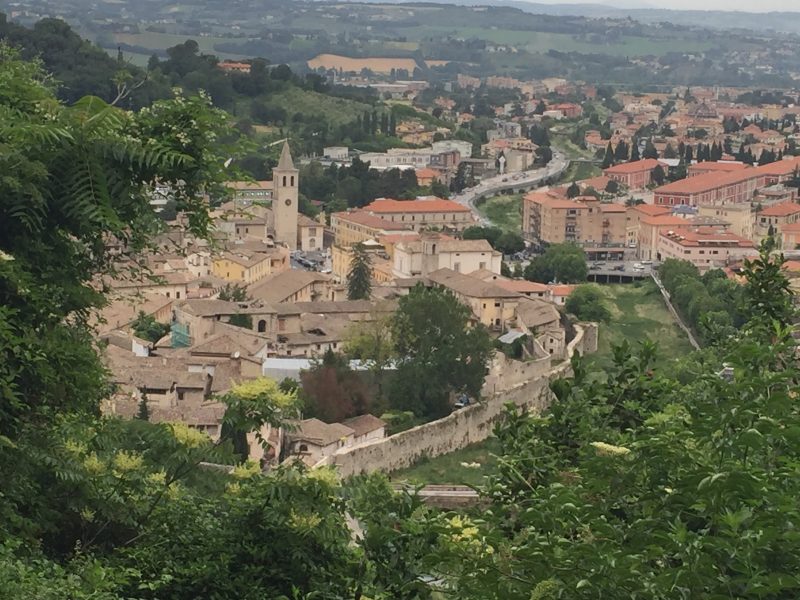
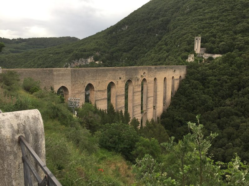
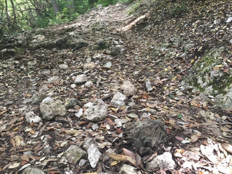
Crazy, difficult day because after climbing up the 300 feet or so to the Rocca Albornoziana, named after the cardinal who ordered the fortress built, I discovered that the bridge to cross the valley had been closed. The bridge is actually just the top of a huge imposing aqueduct looking structure. My only alternative was to go around the fortress until I find a way down and use an alternate route. Luckily an escalator took me down the 300 or so feet, but coming back up on the other side of the canyon was a difficult rocky path that foreshadowed more rocky segments to come. The downhill parts were especially hard on these jagged rocky segments. So, all in all, probably walked 20 km (12.5 mi) and climbed 2500 ft.
For my Australian friends, the day went even worse. They too had to do this bypass, but then took a “wrong” turn (they also have CaminoWays and are only using the book) and ended some 20 miles off course. We ended up at our remote B&B at almost the same time, they having taken a taxi to bring them back on course, as it were. So for nearly an hour and a half I’ve tried to get Bill to download MapOut, but everything was going wrong, and we gave up (he has an iPhone 3 and the app wouldn’t install; then he tried it on his iPad; couldn’t remember passwords or passcodes, on and on). They’ve basically lost confidence in navigating using their guide book—sad, but I tried to help, but couldn’t. By the next morning, however, they had the app and the two tracks working on Patrice’s iPad.
The rocky path was so hard on my blister that it popped, but no blood, and I’m trying to make a Compeed stick after my shower. It doesn’t hurt—just worried that it’ll get infected. The day ended as one of the hardest because of the sharp rockiness—glad it’s over.
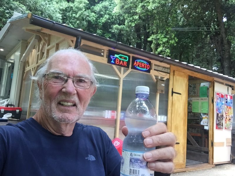
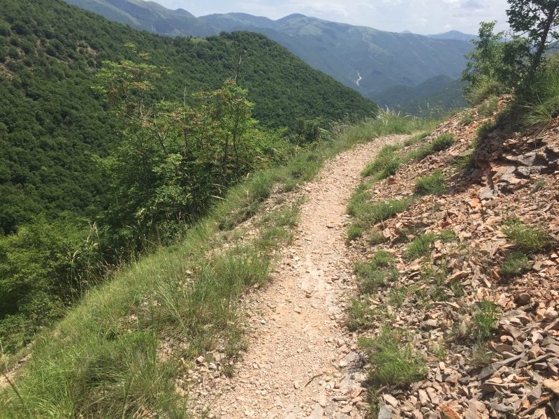
The first pic shows taking a break about a third of the way through.
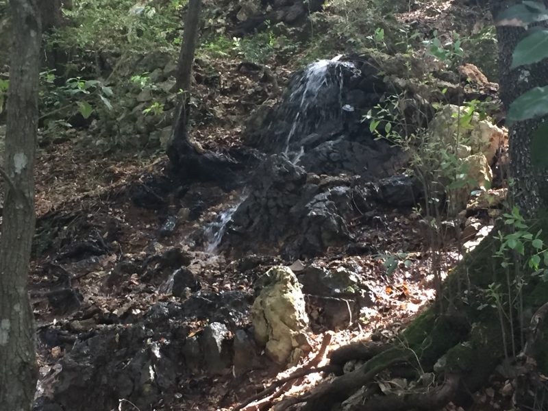
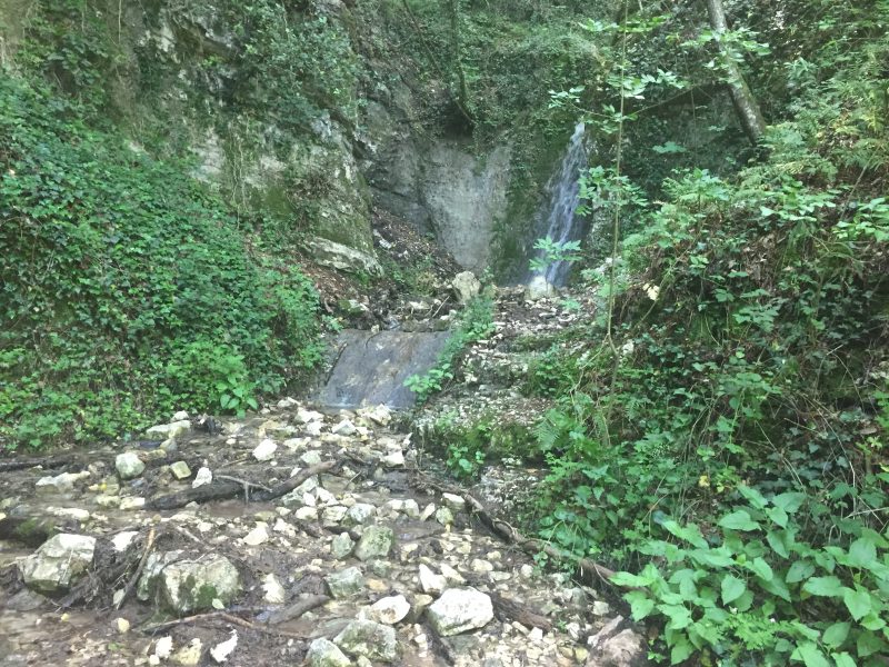
Pics of several water sources along the way wanting to make their way down hill—made for muddy crossings.
