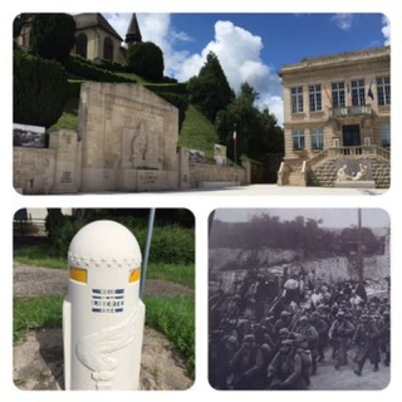
Since there were no hotels in Dombasle and it was Sunday with no reasonable bus service, the B&B host drove me the 15 km (9 mi) there where I picked up the other 25 km (15,6 mi) on foot. Comfortably cool on a country road for much of the way, then back to D603 (also 2-lane but more travelled). The D603 is dubbed the "Way to Freedom" with periodic concrete meter-high markers where the troops came home after WW II. The town of Claremont en Argonne typifies the memorials erected for their fallen heroes.
I've boxed myself in again with no hotel for tomorrow night. But luckily it will be Monday with good train/bus to a place that has a place to stay. It's an iterative process with four apps: my PocketEarth with my route/map; Rail Planner that will find my bus/rail connections within Europe; Safari/Booking.com that will find me a place to stay; and GoogleMaps that graphically shows the places to stay. It sounds easy, but can take me up to three hours to make it work.

